On Thursday, I decided it was time for a hike, as the weekend looked like it would finally be sunny on both Saturday and Sunday after a long time. Times Car Share was already fully booked everywhere, so I started thinking, “Where can I go hiking using public transport that would still be enjoyable?” That’s when Mt. Kumotori came to mind – it’s one of Japan’s 100 Famous Mountains and also Tokyo’s highest peak. Since any route takes over 10 hours to descend, a two-day, one-night stay at a mountain hut seemed perfect. I checked Kumotorisanso’s website and found there was just one spot left for Saturday! I quickly sent a reservation email and got confirmation on Friday. Lucky me!
- A Long-Distance Loop Route After a While
- Kamosawa Trailhead ~ Mt. Nanatsuishi: The Monotonous Ascent Was Tough
- Mt. Nanatsuishi ~ Mt. Kumotori Summit: Ridge Hiking with Spectacular Views
- Kumotorisanso Mountain Hut: Enjoying Mountain Talk Around a Charcoal Kotatsu
- The Starry Sky and Sea of Clouds Were Amazing, But…
- Mt. Kumotori Summit ~ Sanjo-no-Yu: Lost? Slipping? A Route Troubled by Reviews
- Sanjo-no-Yu ~ Omatsuri Bus Stop: Forest Road Walk Enjoying Magnificent Autumn Foliage
A Long-Distance Loop Route After a While

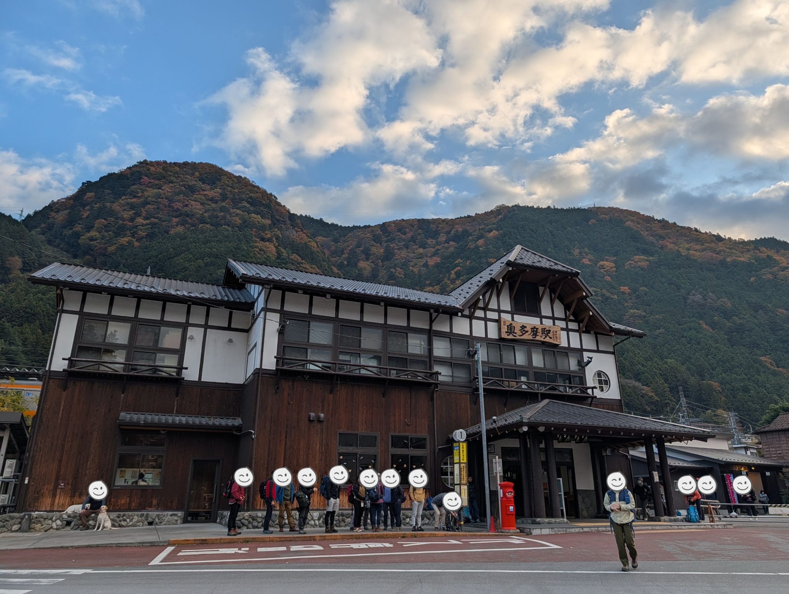
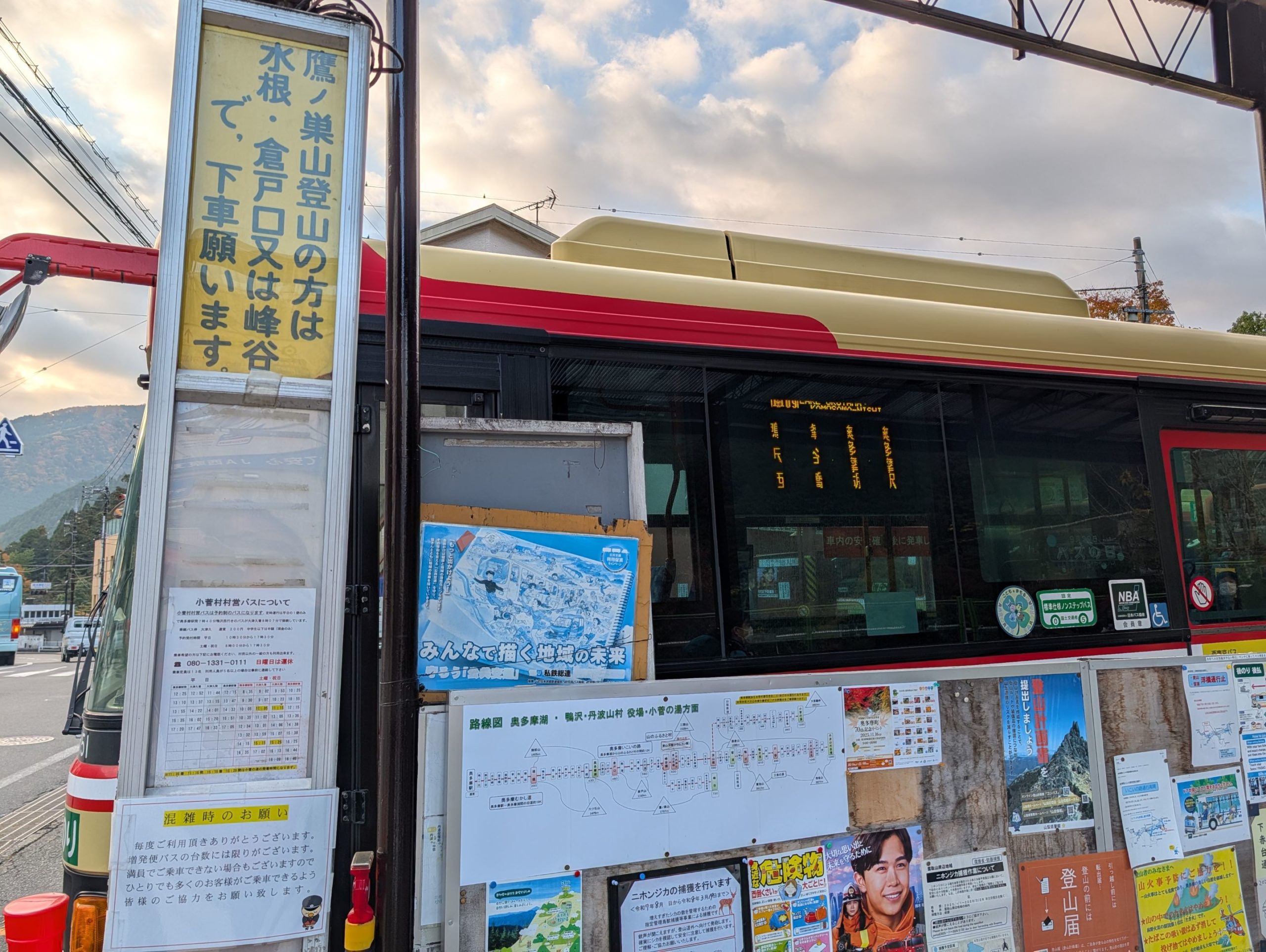
Since I had to use public transport, I first headed to Okutama Station, then took a bus to Kamosawa, where the trailhead is. Since it was a weekend and everyone coming from various parts of Tokyo on the first train arrived around the same time, the bus was packed with hikers. From the trailhead right next to the Kamosawa bus stop, the plan was to ascend Mt. Kumotori via Mt. Nanatsuishi, stay overnight at Kumotorisanso just a bit further. The next day, after watching the sunrise from the summit of Mt. Kumotori, I’d head to Sanjo-no-Yu for a day-trip hot spring bath before descending to the Omatsuri bus stop.
Kamosawa Trailhead ~ Mt. Nanatsuishi: The Monotonous Ascent Was Tough
I had anticipated the bus would be super crowded, but Kamosawa was much further than I expected, which was tough. I looked it up later, and Kamosawa was actually the 38th bus stop from Okutama…
Right next to the Kamosawa bus stop, there’s a space marked “Kamosawa Trailhead” with a small restroom, and many people who got off the bus were queuing. You need to drive, but a car is definitely easier…

Nevertheless, once I started walking, the crowds quickly thinned, and beautiful scenery unfolded before my eyes, lifting my spirits. Walking at this time on an autumn morning, with clear air and lovely views, truly feels wonderful.
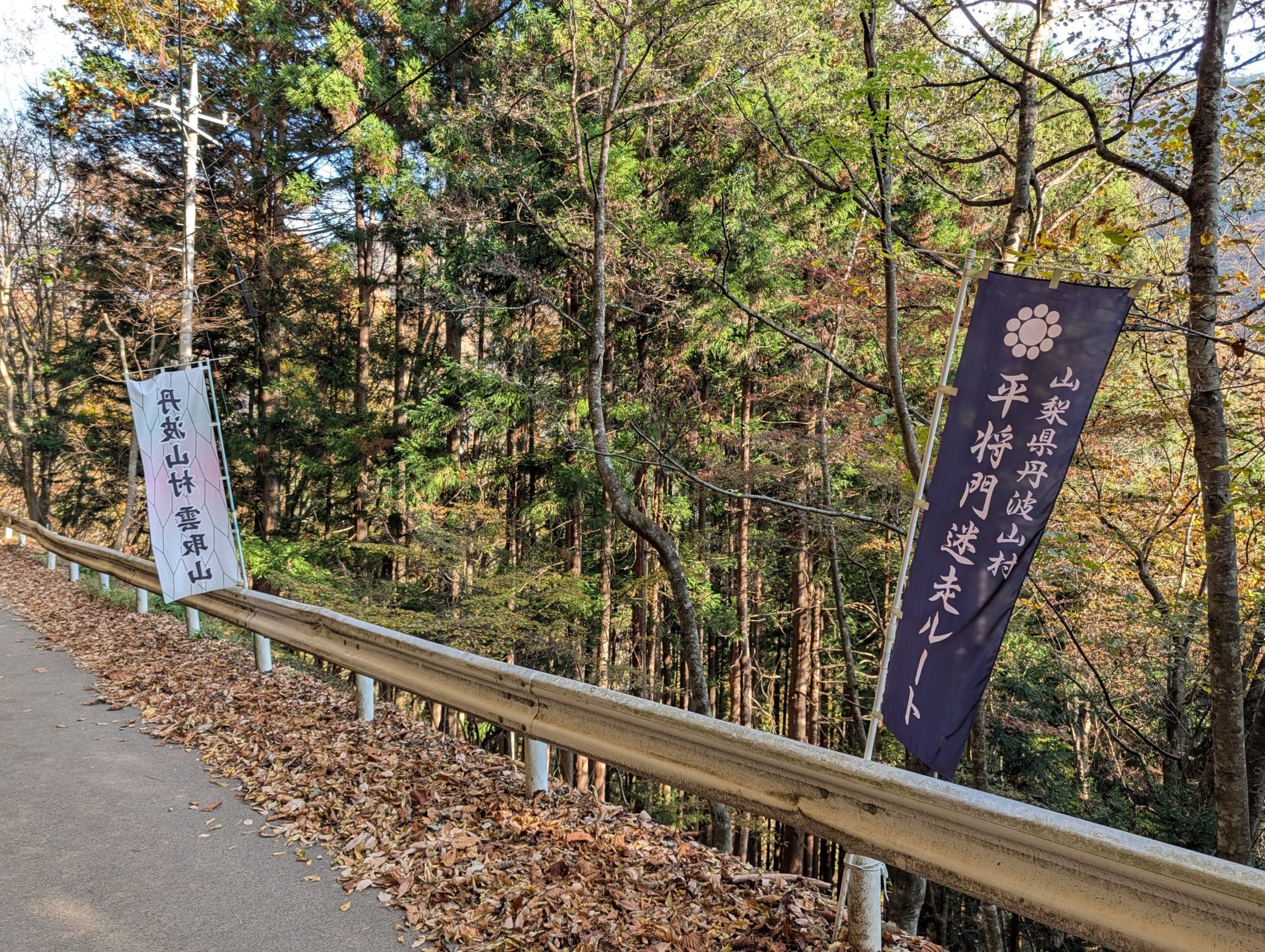
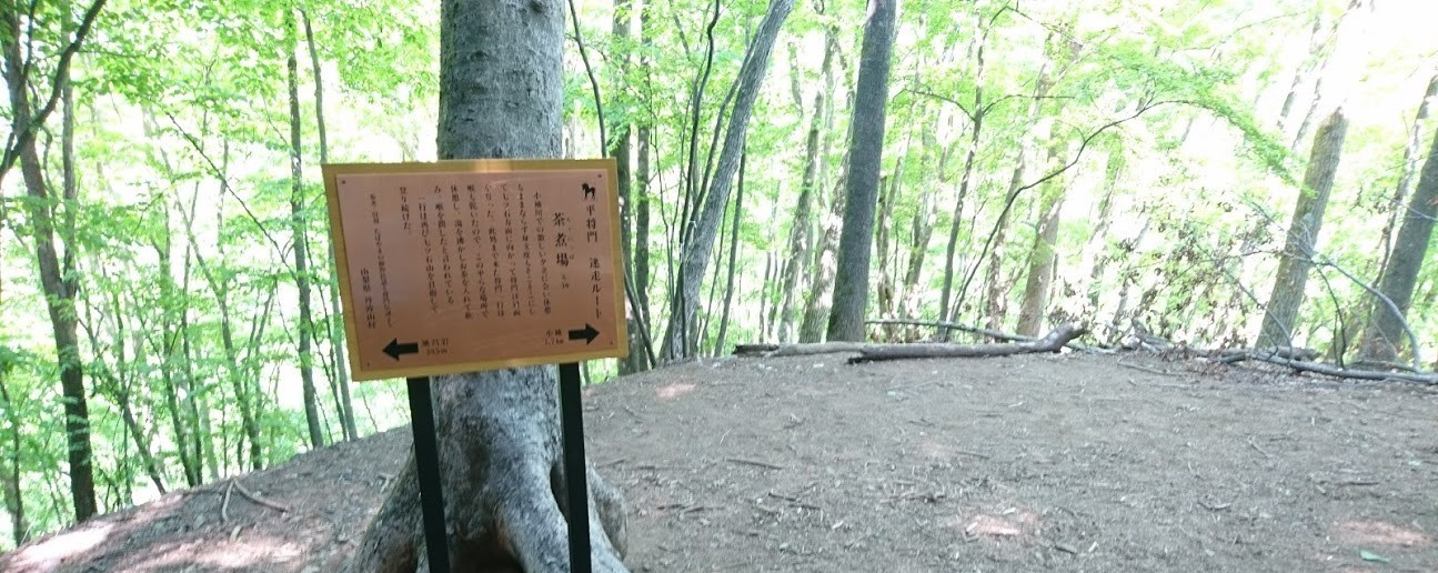
Where the forest road, which I had walked along past houses, finally turned into a mountain trail, there was a banner that read “Taira no Masakado’s Lost Route.” After that, there were signs scattered along the trail recounting the tragic tale of Taira no Masakado’s escape.
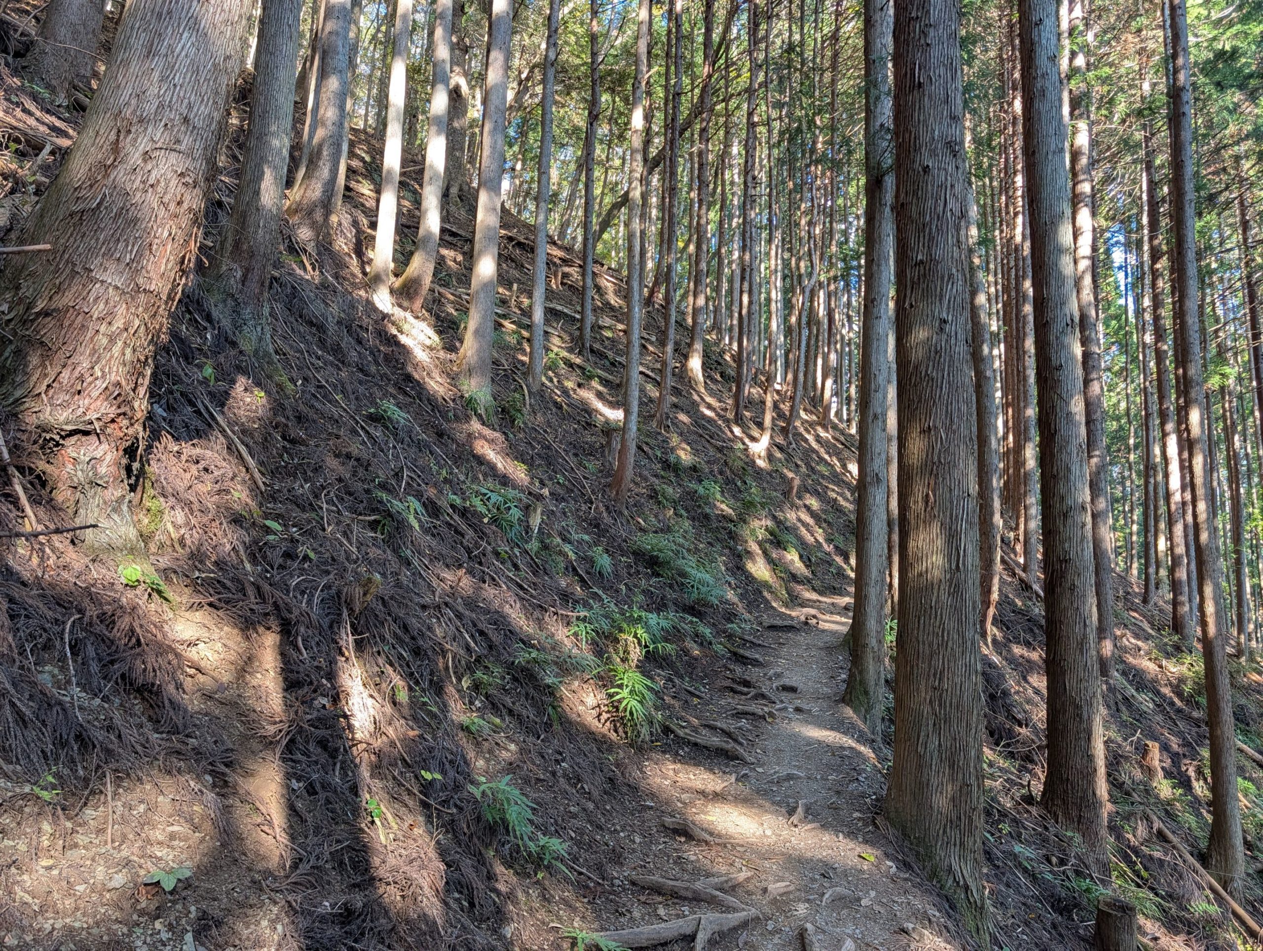
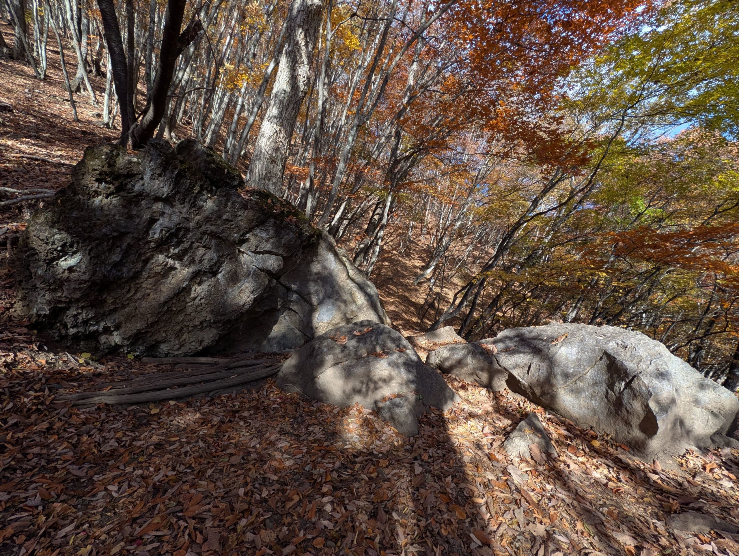
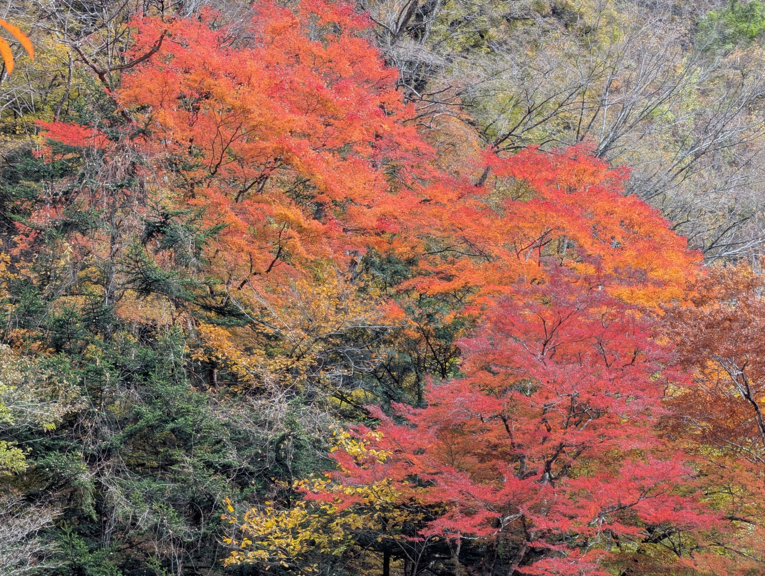
The monotonous climb kept me a bit breathless, and though there were signs for the “Lost Route” here and there, I felt more like hurrying on than leisurely reading them. However, after walking for a while, even though the view didn’t open up, being surrounded by beautifully colored autumn trees really cheered me up.
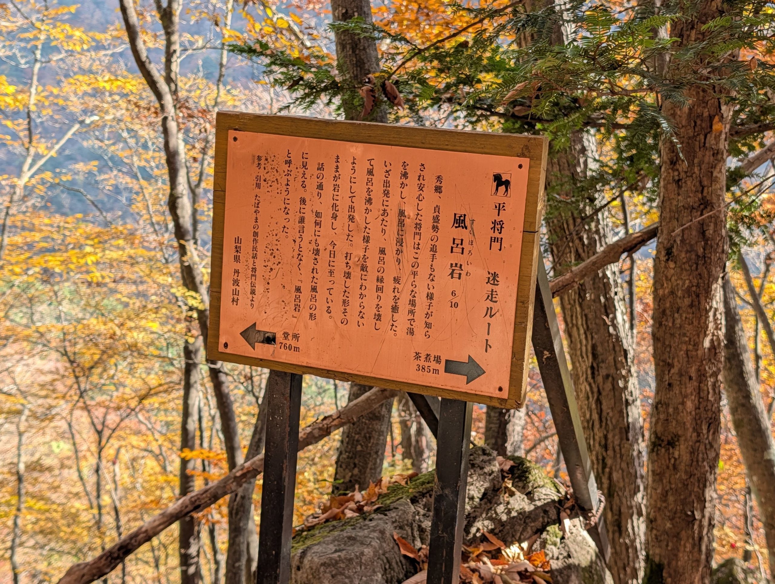
Just when I felt I had a bit of energy to spare and wanted to take a break, I arrived at Furo-iwa (Bath Rock). It was my first time reading the sign here, and it’s quite interesting! It says that Taira no Masakado, who was supposed to be on the run, felt safe since there were no pursuers, so he boiled water and soaked in a bath to relieve his fatigue. But to prevent his enemies from knowing he had bathed, he destroyed the bath before leaving, and that broken bath turned into a rock… It’s a legend that makes you want to interject with all sorts of questions!
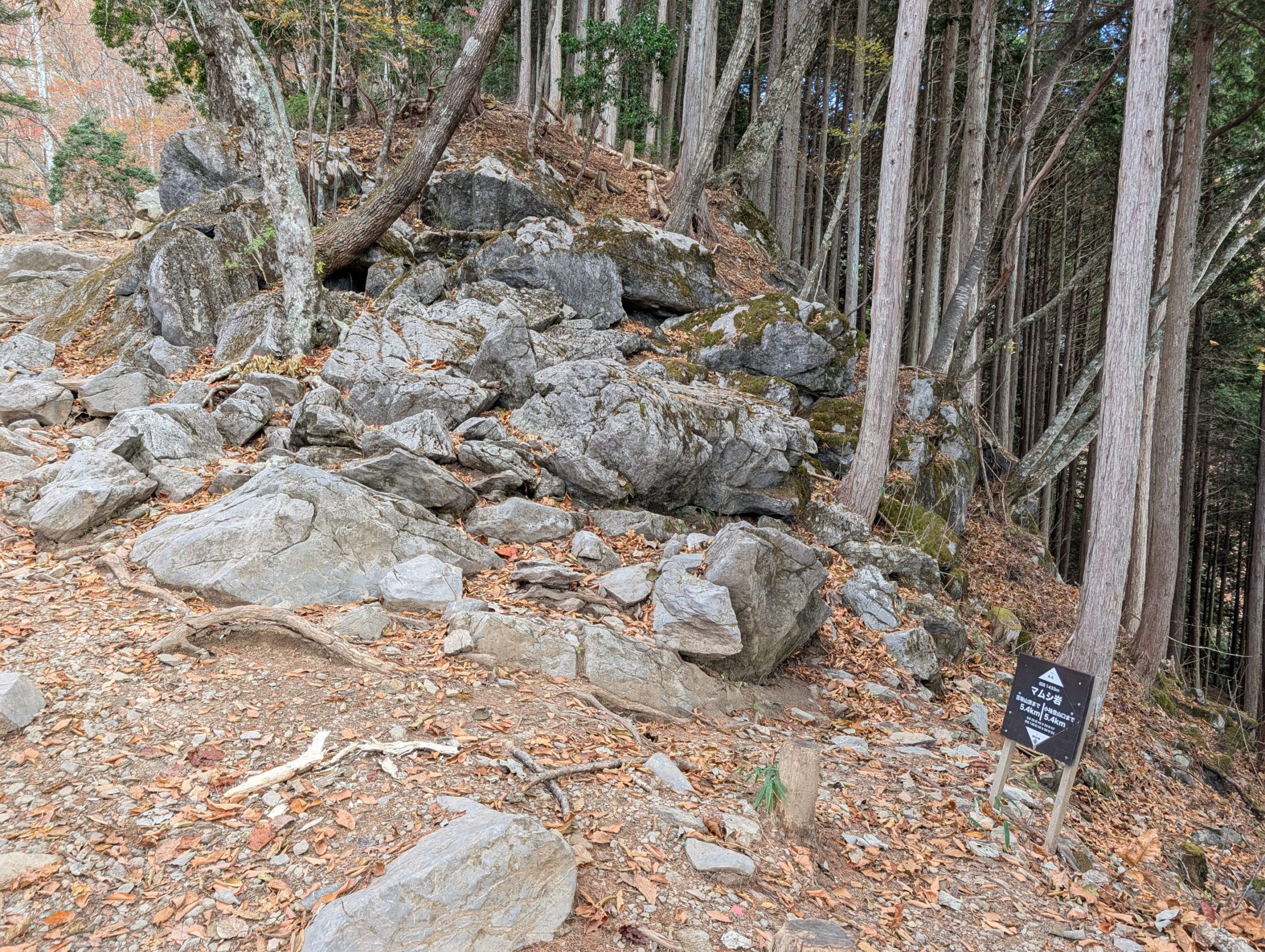
Just when I thought I’d walked quite a bit, this exposed limestone Mamushi-iwa was only 5.4 kilometers from the Kamosawa trailhead, exactly halfway in terms of distance… From here, the real climb began.
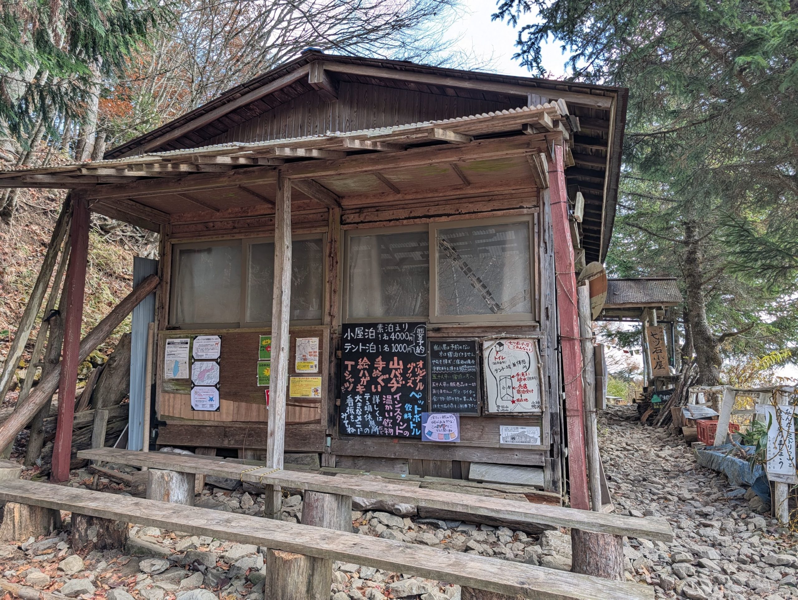
After a relentless climb, I finally arrived at Nanatsuishi Hut. There hadn’t been any benches to rest on until now, so it was a much-needed break. Eating some chocolate really perked me up, so I guess I might have been a bit low on energy.
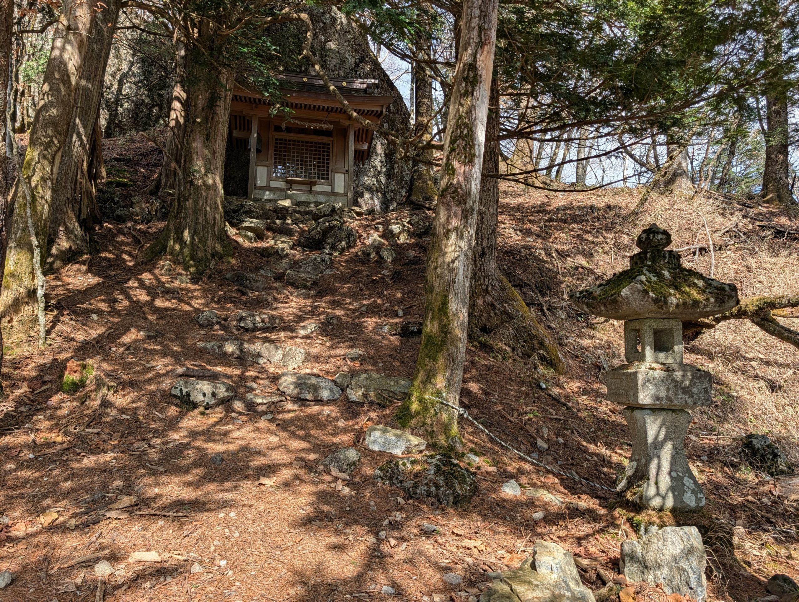
Right near the hut was a small Nanatsuishi Shrine. It’s said that in the past, wolves would hunt wild boars and deer that damaged crops, so people worshipped wolves as mountain gods and built this shrine here.
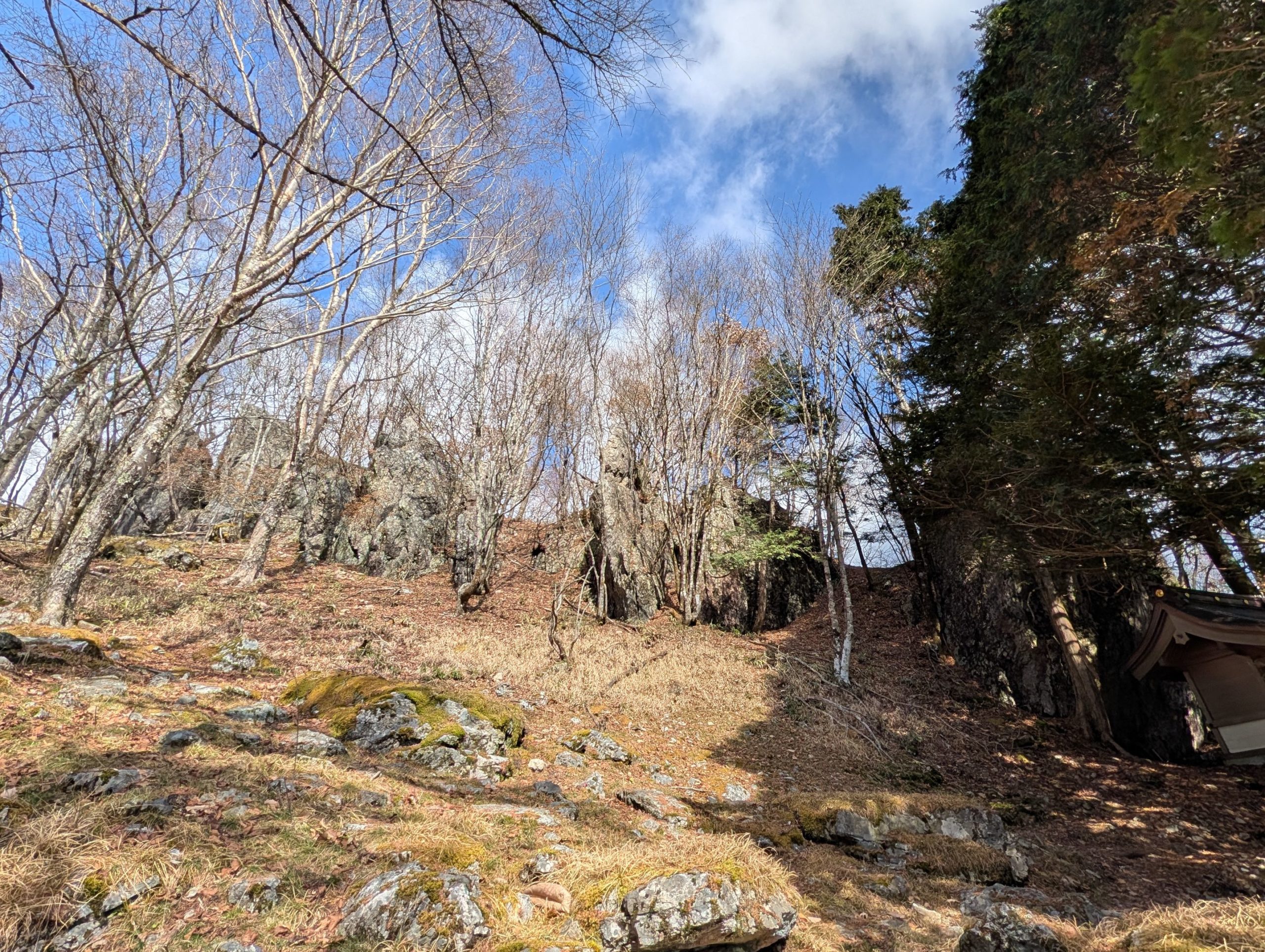
From Nanatsuishi Shrine towards the summit, large rocks were lined up, and when viewed as a whole, they indeed seemed like seven. The rocks were neatly arranged, and according to the explanation on the “Lost Route” sign, Taira no Masakado’s seven body double straw figures, arranged to glare at the pursuers, instantly turned into rocks when shot by arrows from the pursuers (this legend is quite amusing!).

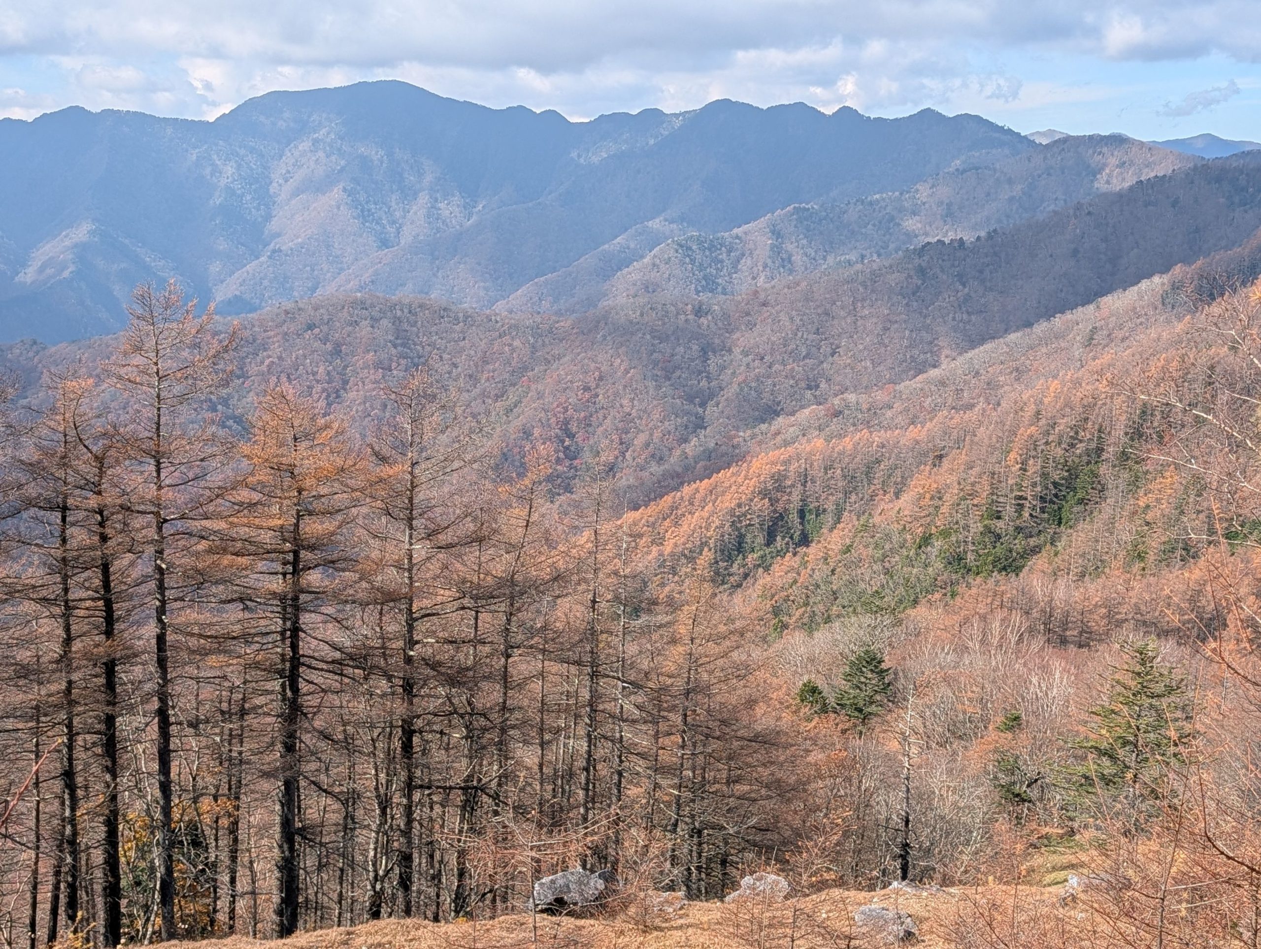
Reaching the summit, a 360-degree view opened up, showing the Okutama mountains and the ridge path leading to Mt. Kumotori, which was a great sight. Also, the large stone summit marker was something I hadn’t seen much of before and looked really cool. I had hoped to see Mt. Fuji, but unfortunately, it wasn’t visible that day. Nevertheless, the breathtaking 360-degree panoramic view was truly a reward.
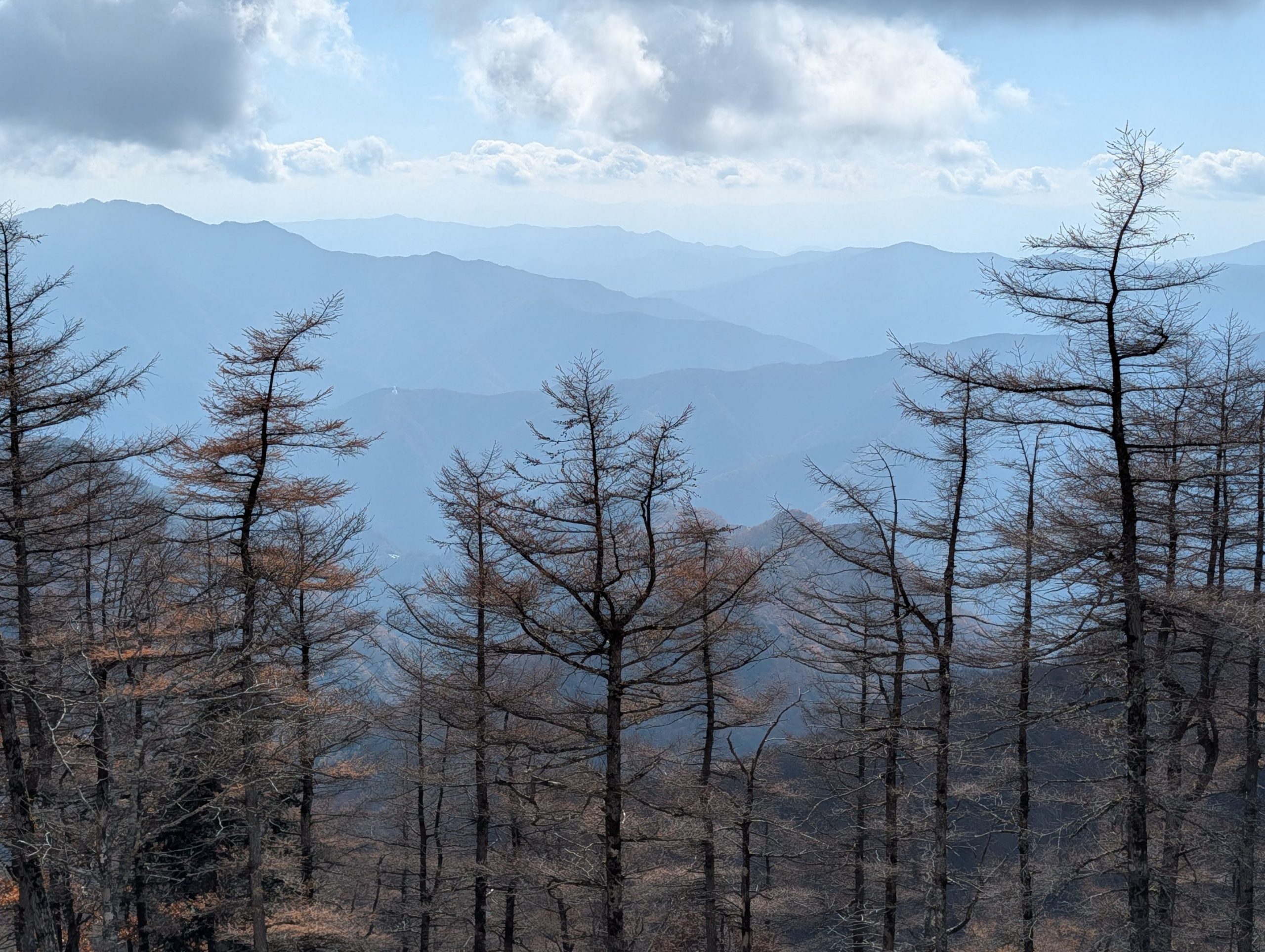
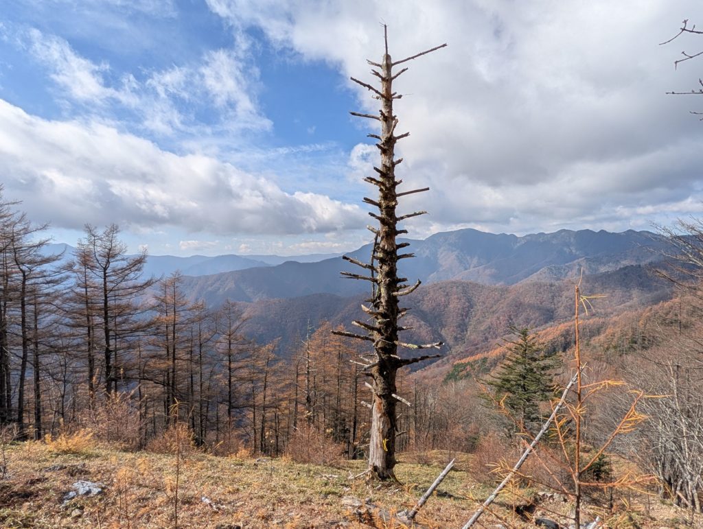
The trees around here were either standing dead or had completely lost their leaves, creating a unique landscape. Perhaps the autumn foliage season had already ended at this altitude.
Mt. Nanatsuishi ~ Mt. Kumotori Summit: Ridge Hiking with Spectacular Views
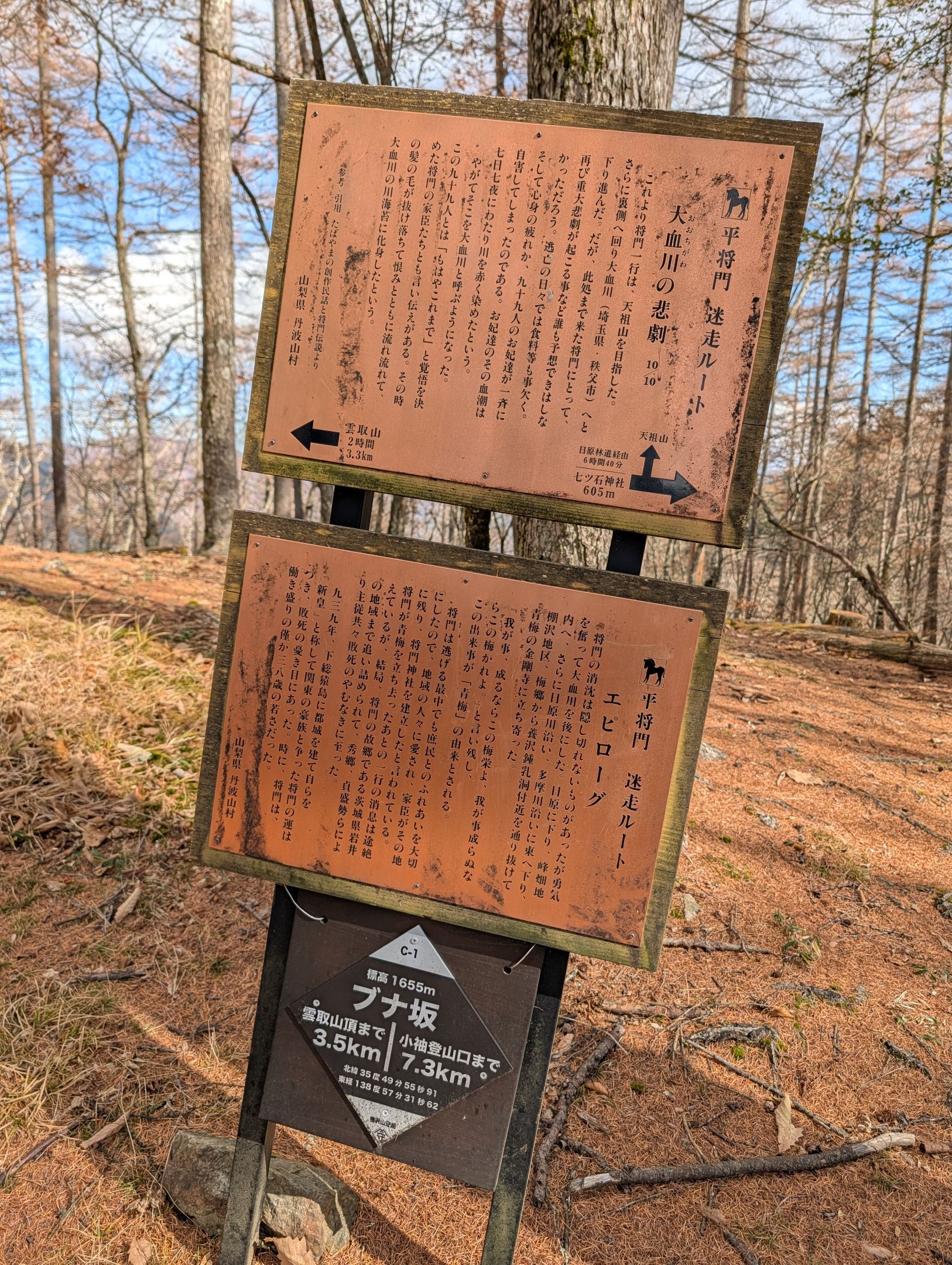
I regretted not having read much of the “Taira no Masakado’s Lost Route” signs in the first half of the hike. The last one was at Buna-zaka, still 3.5 kilometers from the summit of Mt. Kumotori.
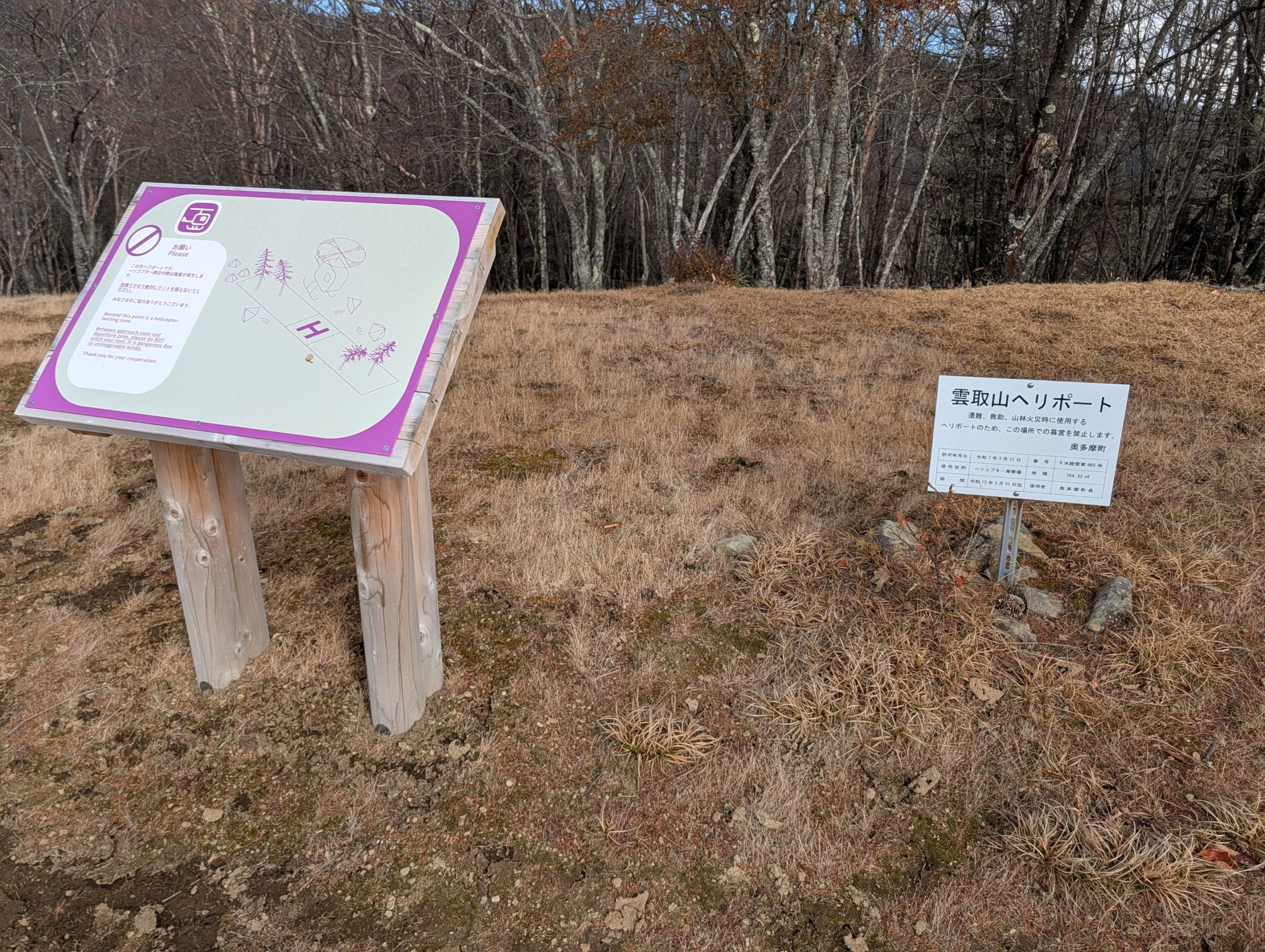
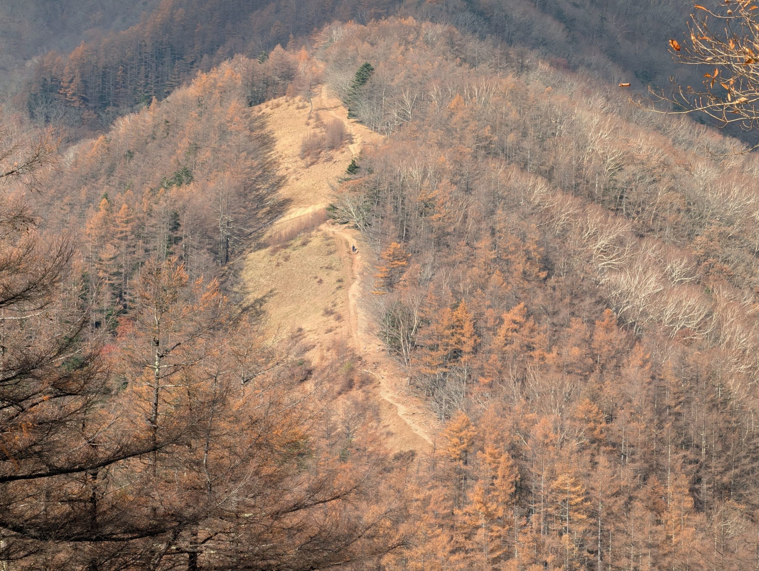
From Mt. Nanatsuishi to Gojunin-daira Campsite, there was a gentle ridge path. Beyond that, the path opened up a bit, and I came across a spot with a large “H” written on it. This is the Mt. Kumotori Heliport, used for emergencies. It’s quite deep in the mountains, so even though it’s not stated, I wonder if it’s also used for transporting supplies?
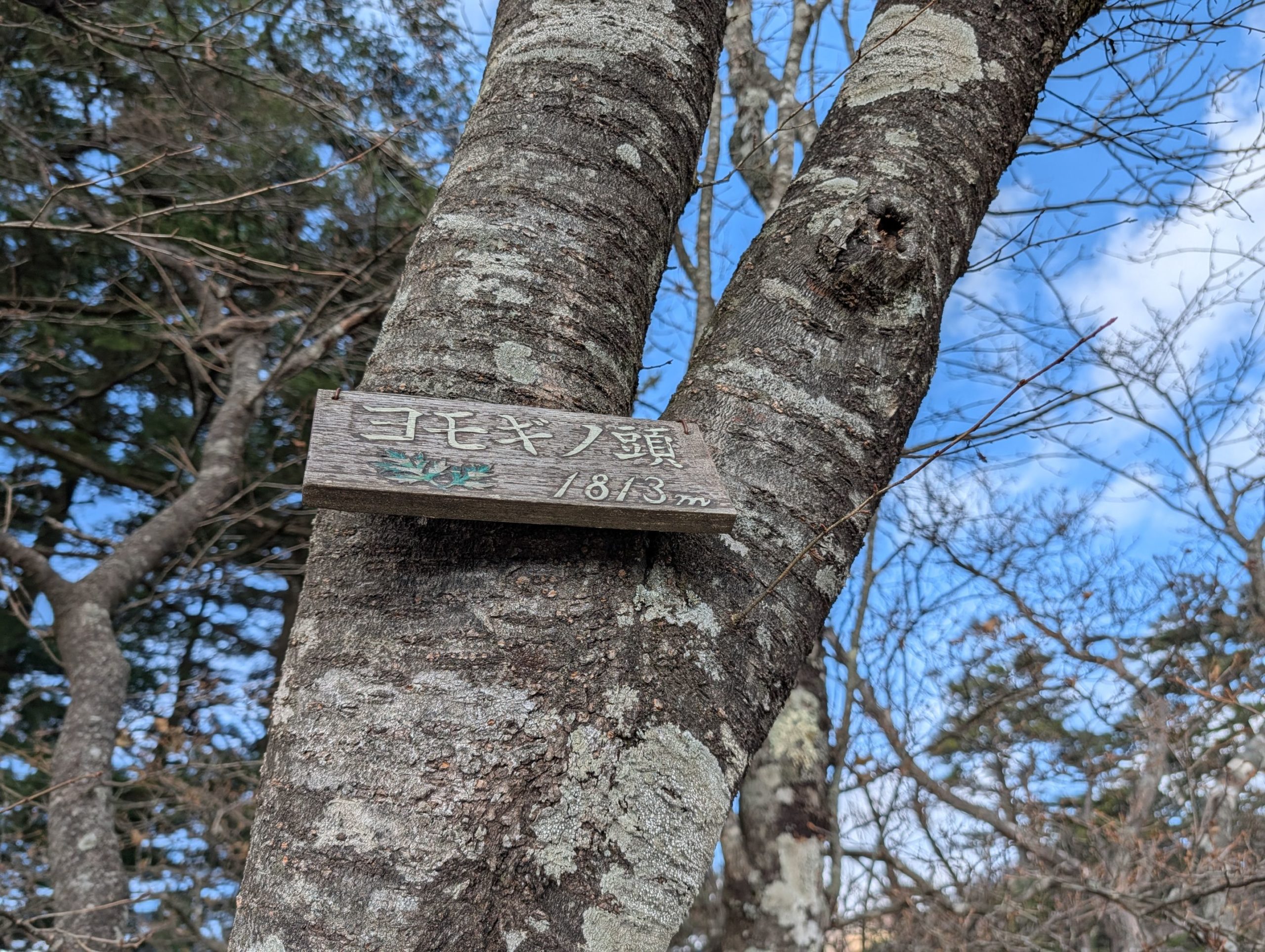


Just beyond the heliport was Gojunin-daira Campsite, where several tents were pitched. A short climb from there led to Yomogi-no-kashira. There was also a bypass trail that didn’t require climbing to the peak, but since I was already there, I went for the peak bag. I couldn’t find the summit marker at first, but then I spotted a small sign with a picture of mugwort. And the magnificent view here was, once again, a reward.

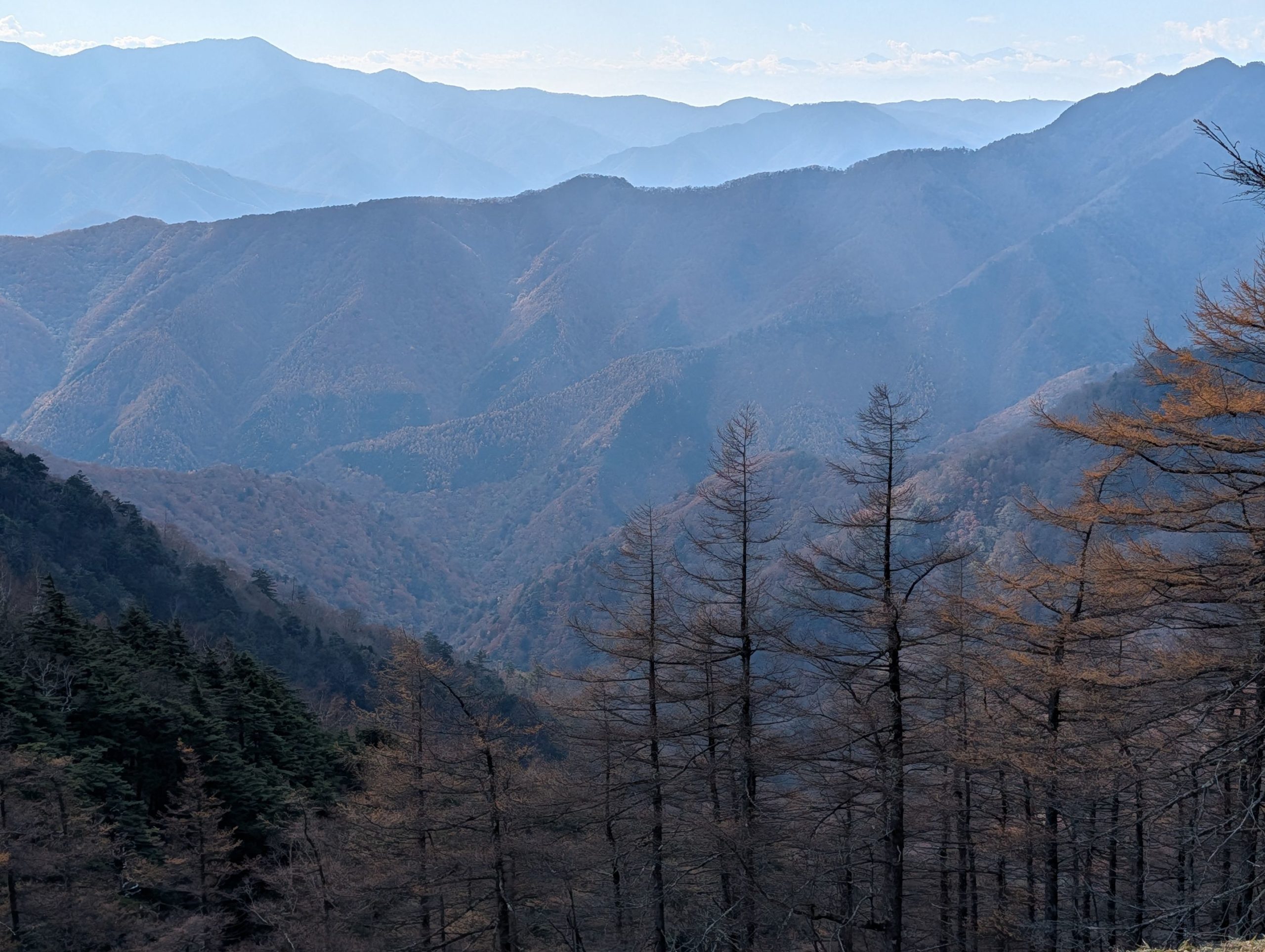
The ridge path from Mt. Nanatsuishi was gently sloped and open, offering fantastic views that made the walk utterly engaging.
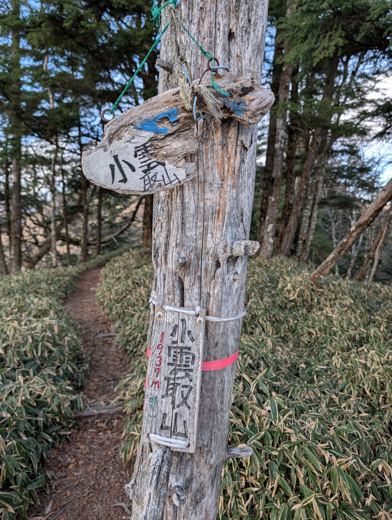
Finally, I reached Kounotori-yama (Small Kumotori Mountain) at 1937 meters, almost 2000 meters in elevation. The views here were also open, and the atmosphere somehow reminded me of the Daibosatsurei area. It took about 4 hours from the trailhead to get here, and the summit of Mt. Kumotori, Tokyo’s highest peak, was just a little further!
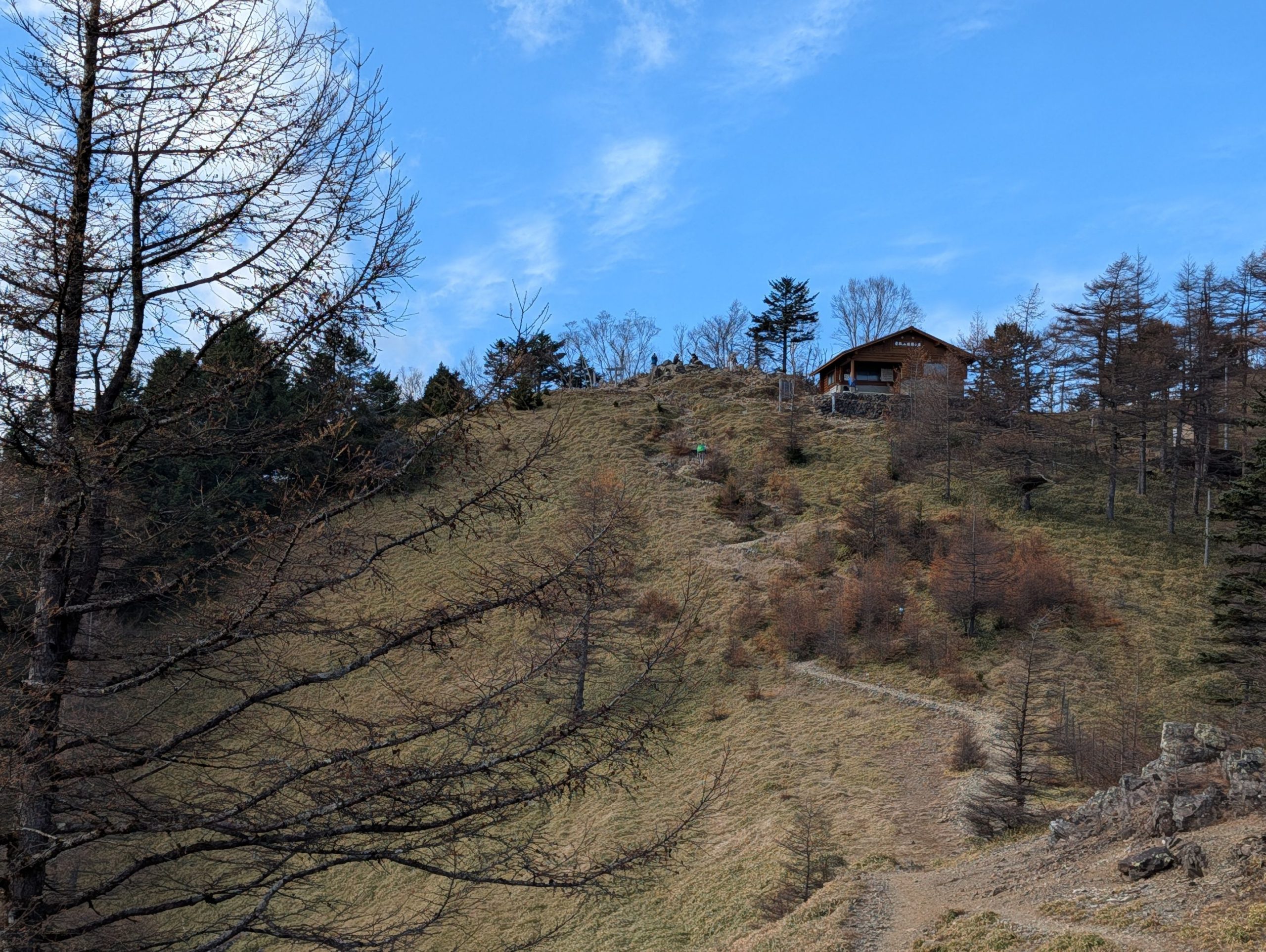
Beyond Kounotori-yama, there was a fork for a bypass trail that would skirt the summit and lead to Kumotorisanso. Knowing I’d definitely be heading to Mt. Kumotori’s summit tomorrow morning, I hesitated a bit, but decided to go for the summit anyway. After a short climb, I spotted the Mt. Kumotori Summit Shelter. From Mt. Nanatsuishi, the continuous changes in scenery – the heliport, Gojunin-daira Campsite, Yomogi-no-kashira, and Kounotori-yama – made the ascent enjoyable.
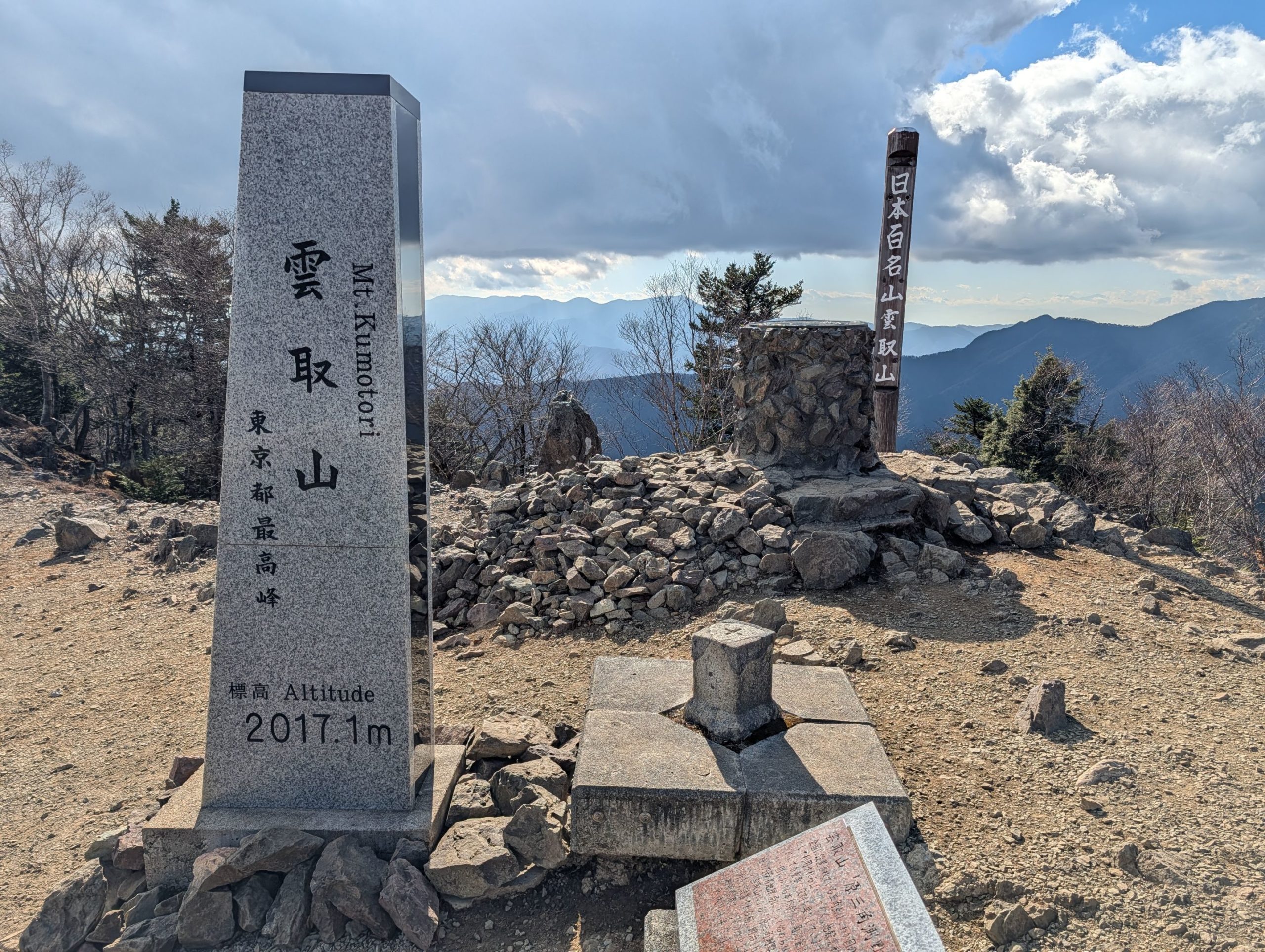
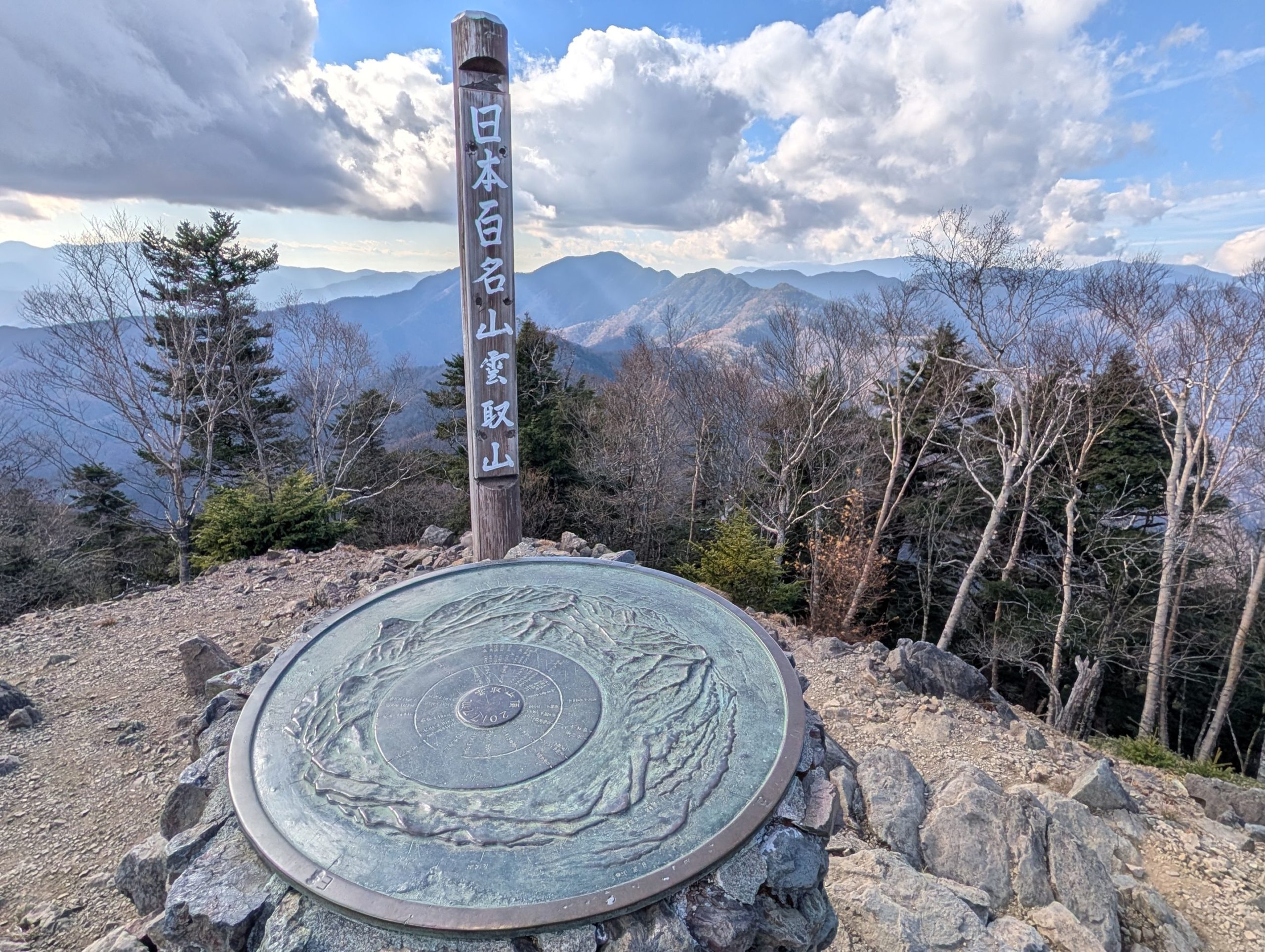
Wow, Mt. Kumotori was tougher than I imagined! It was quite a surprise that Tokyo’s highest peak is over 2000 meters high and requires a pretty challenging hike to reach. From the summit of Mt. Kumotori, you can see layers upon layers of the Okutama and Okuchichibu mountains, and even the Southern Alps, making it impossible to feel like you’re still in Tokyo, where the city center is.
Personally, forgetting my trekking poles felt like a pretty big blow. It really reminded me how much easier hiking is when you can use your arm strength too. In that sense, I’m a little worried about tomorrow’s descent, where I’ll feel that even more.
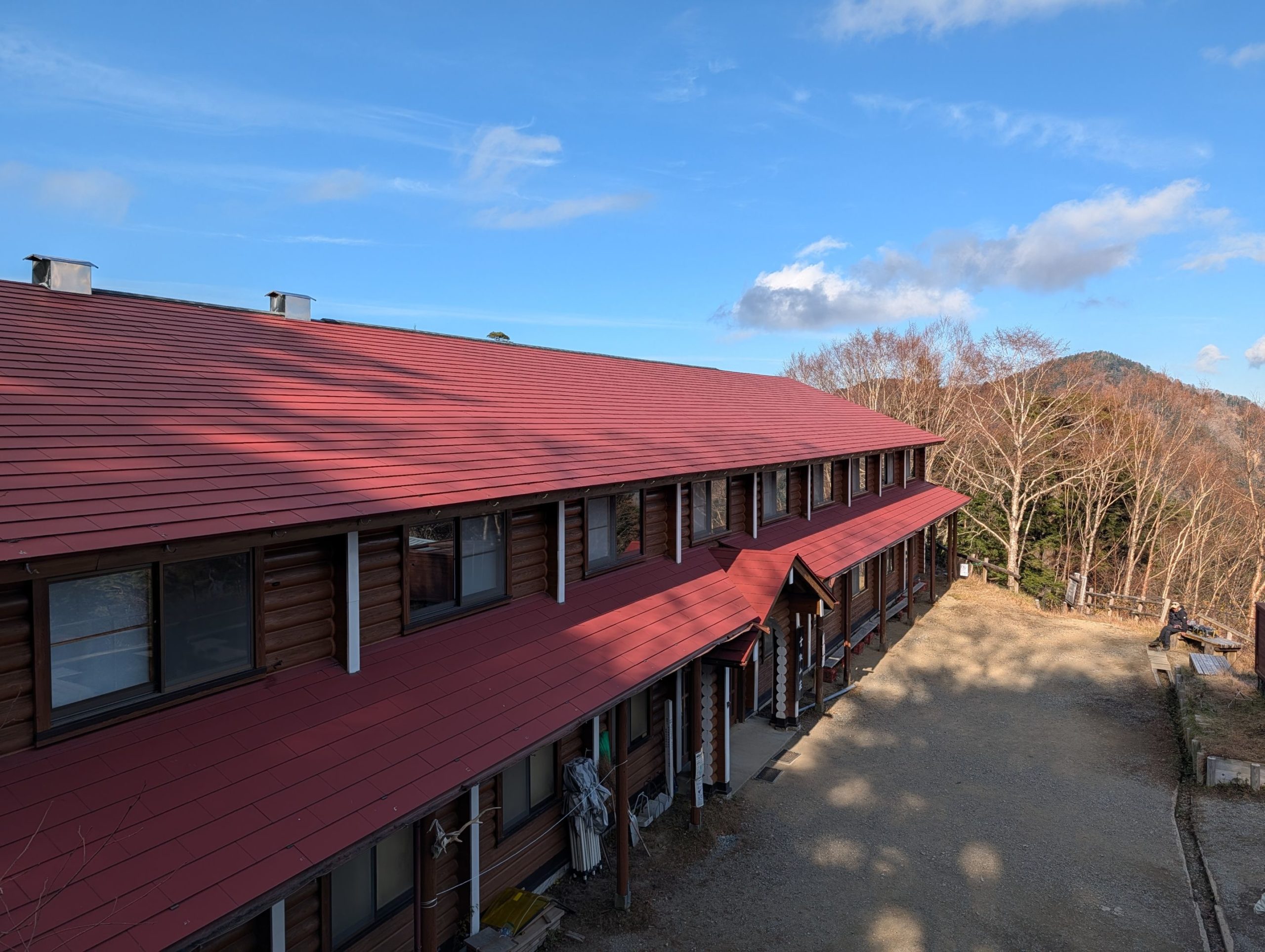
Kumotorisanso Mountain Hut: Enjoying Mountain Talk Around a Charcoal Kotatsu
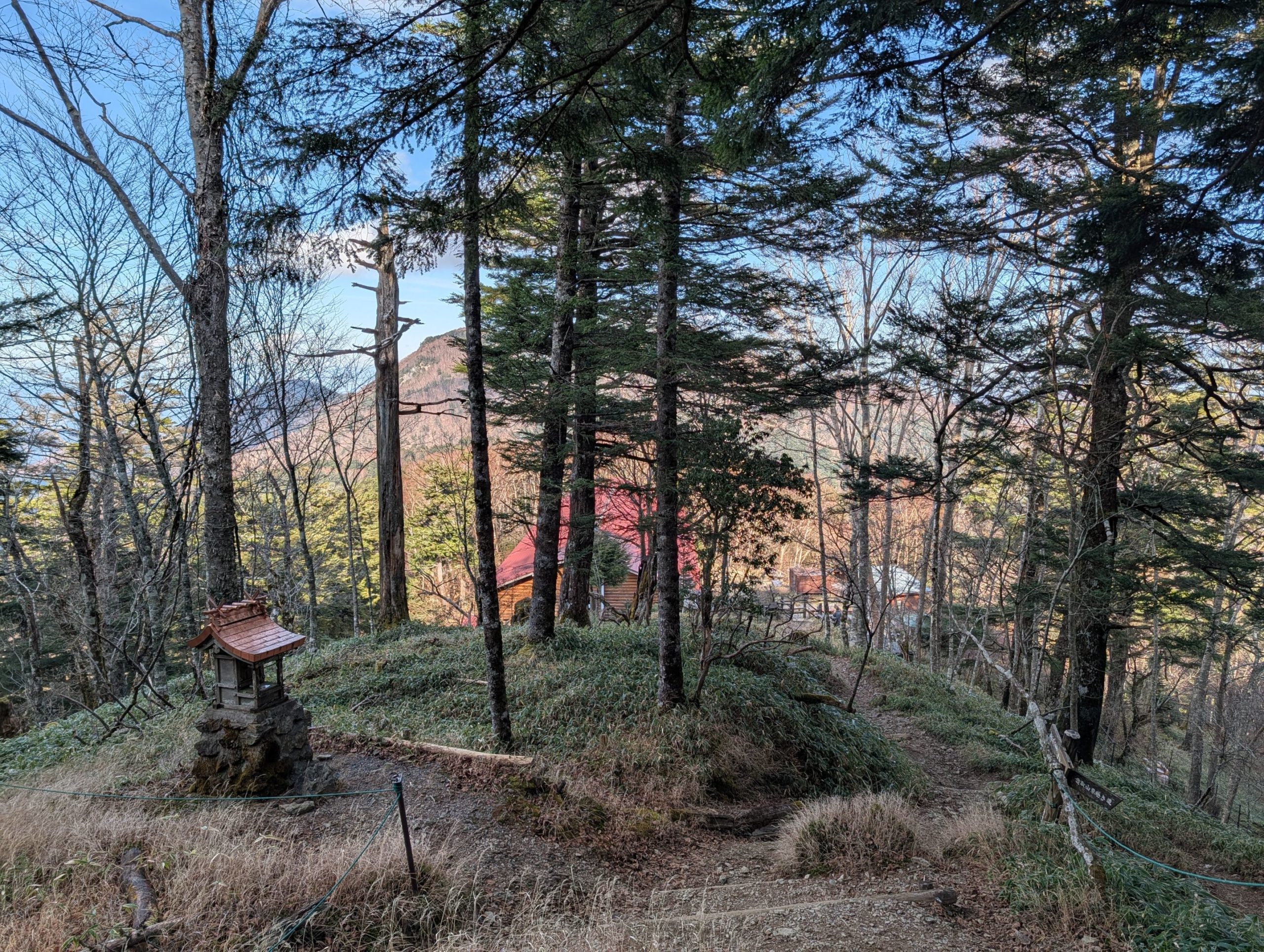
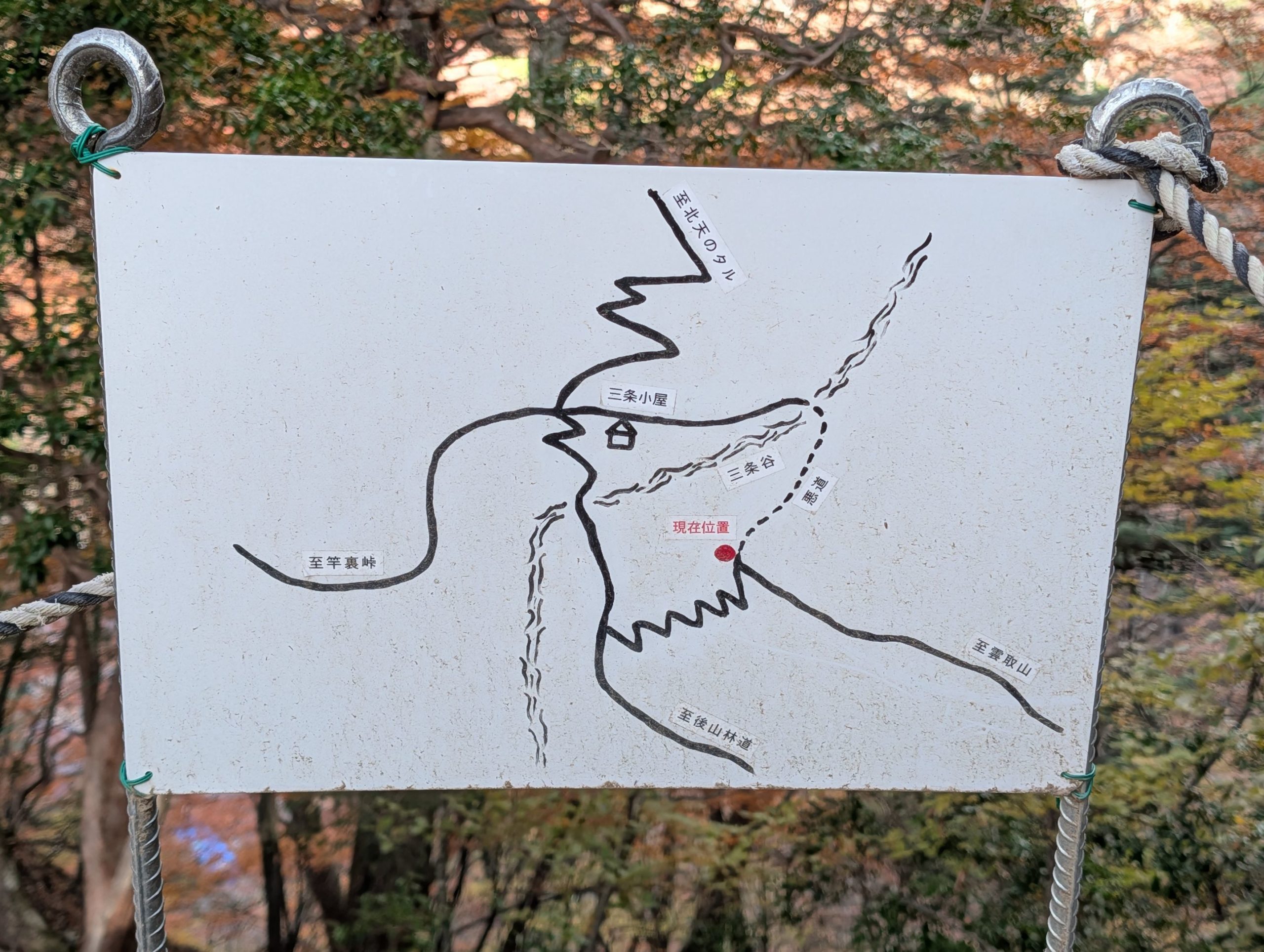
Since I arrived at the summit in the early afternoon, most of the people there at that time seemed to be returning the way they came, heading down for a day trip. I, however, continued along the path leading towards Mitsumine Shrine, descending the mountain a little further to Kumotorisanso.
I arrived at the hut around 1 PM, and several people were just idling outside. I wondered what was going on, then saw a sign at the entrance saying check-in for overnight guests was from 2 PM. It seemed they were all waiting for that. So, I also had no choice but to kill time by leisurely playing on my phone in a sunny spot, as it was quite cold.
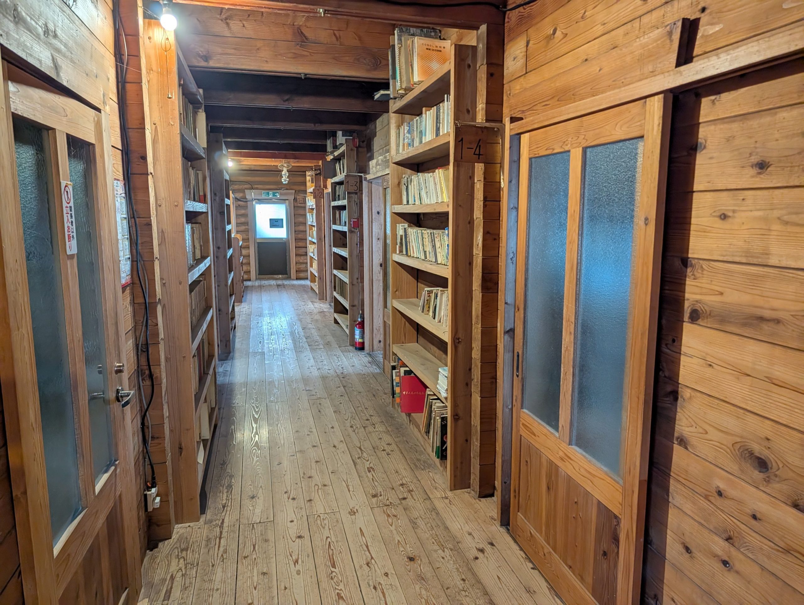
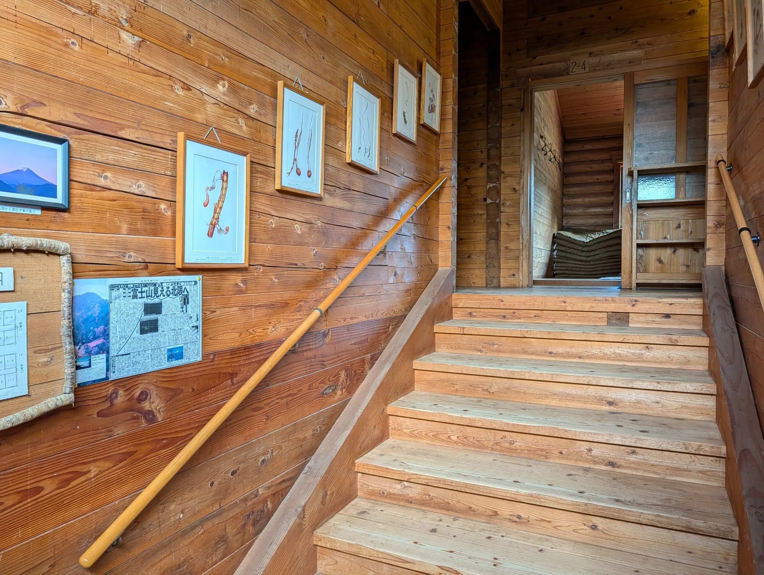

At the reception, I was shown to room 3-4 on the 2nd floor. I was handed a bag for my hiking boots, put them in, and headed upstairs. After placing my boots in the shoe rack outside the room, I entered to find a kotatsu right away. A shared room with a kotatsu would be great for chatty people, but otherwise, it seems like a pretty high hurdle, haha. Since there was no power outlet, I asked later how it worked, and they told me this kotatsu uses briquettes (mametan) and stays warm until morning. They also advised that since it gets cold at night, it’s a good idea to arrange the futon cleverly and sleep with your feet inside the kotatsu.
Dinner was at 6 PM, so I had plenty of time. I bought a beer and grabbed some of the many manga books available to pass the time. Soon, other guests started trickling in, and it seemed four of us would be sharing the room today. As we chatted, it turned out that everyone in the room had made last-minute reservations. Each of them had already visited over 80 of Japan’s 100 Famous Mountains, including a seasoned hiker who had walked over 20 kilometers along the Ishione ridge from Okutama Station that very day, and another person who started hiking in their 60s and now hikes every other week, having explored many mountains. There was also one person for whom this was their first “100 Famous Mountains” peak and first mountain hut stay. We had a lively chat about mountains over beer and snacks.
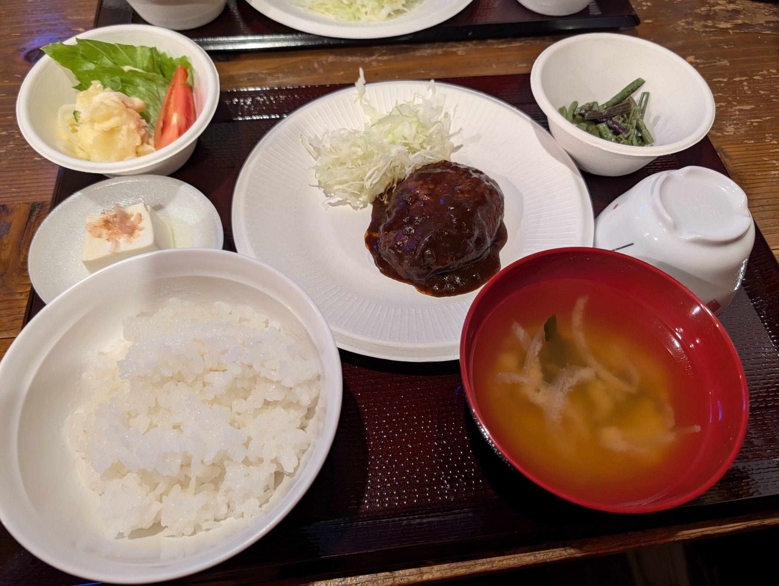
The dining hall was packed with hikers. It looked like about 80 people, but considering there were also guests staying without meals, there might have been over 100 people staying tonight. Dinner was hamburg steak. I always feel so grateful to be able to eat a meal like this in the mountains, and 10,000 yen for one night with two meals is quite a bargain!
When it comes to mountain hut meals, what always impresses me is how much everyone eats! They refill their rice bowls with incredible speed, and some even go for two heaping second servings, which always amazes me.
The Starry Sky and Sea of Clouds Were Amazing, But…

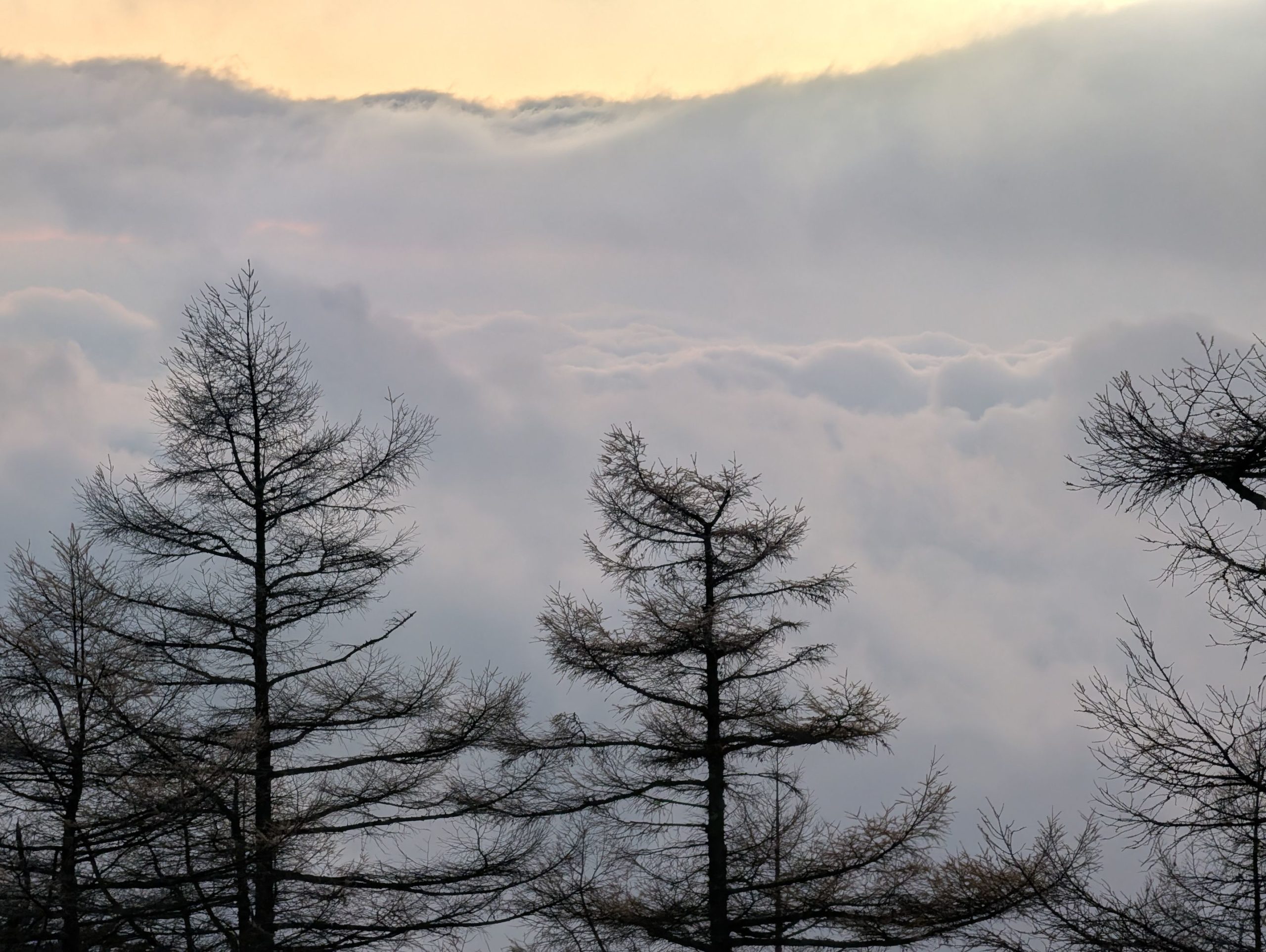
Despite the lights from the hut, the starry sky was astonishingly clear that night. The crisp, cold air felt wonderful, and in the distance, I could even see the city of Tokyo – quite a spot! The weather forecast was spot on for clear skies, so it looked like I’d see the sunrise from the summit tomorrow.
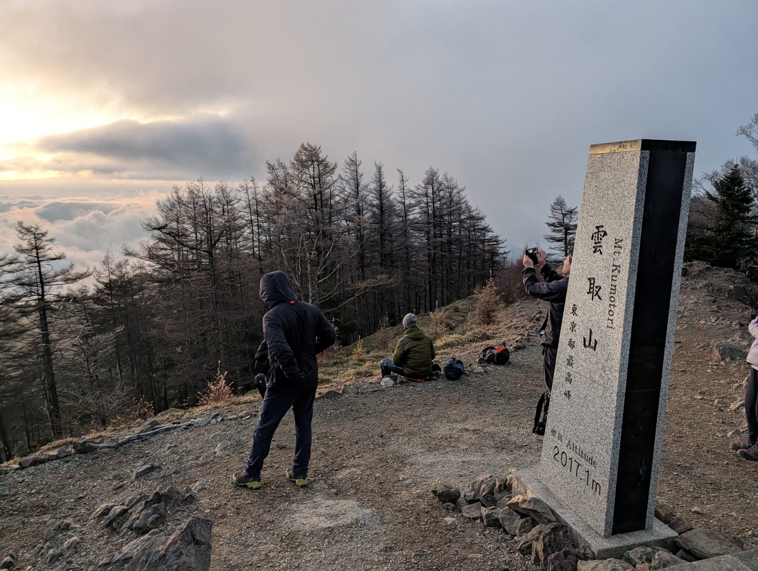

The next morning, I had breakfast at 5 AM, then put on my headlamp and headed towards the summit while it was still dark. The sky beyond the trees was turning fiery red, signaling a beautiful sunrise, so I hurried to the peak. However…
When I reached the summit, there were much thicker clouds than I expected, rolling in from the west towards the east. The sky above was clear, but it seemed it would take quite a while for the sun to rise above these clouds. On the other hand, the western sky was painted with beautiful, faint pink and purple gradients. It was quite interesting to see such colors on the opposite side of the sky, even though the sun was hidden behind the clouds.
I could also see the clouds moving with incredible speed, and there was an option to enjoy the rapidly changing scenery. But it was cold, and after waiting about 20 minutes past the scheduled sunrise time with no sign of the sun appearing, I decided to give up and descend towards Sanjo-no-Yu.
Mt. Kumotori Summit ~ Sanjo-no-Yu: Lost? Slipping? A Route Troubled by Reviews
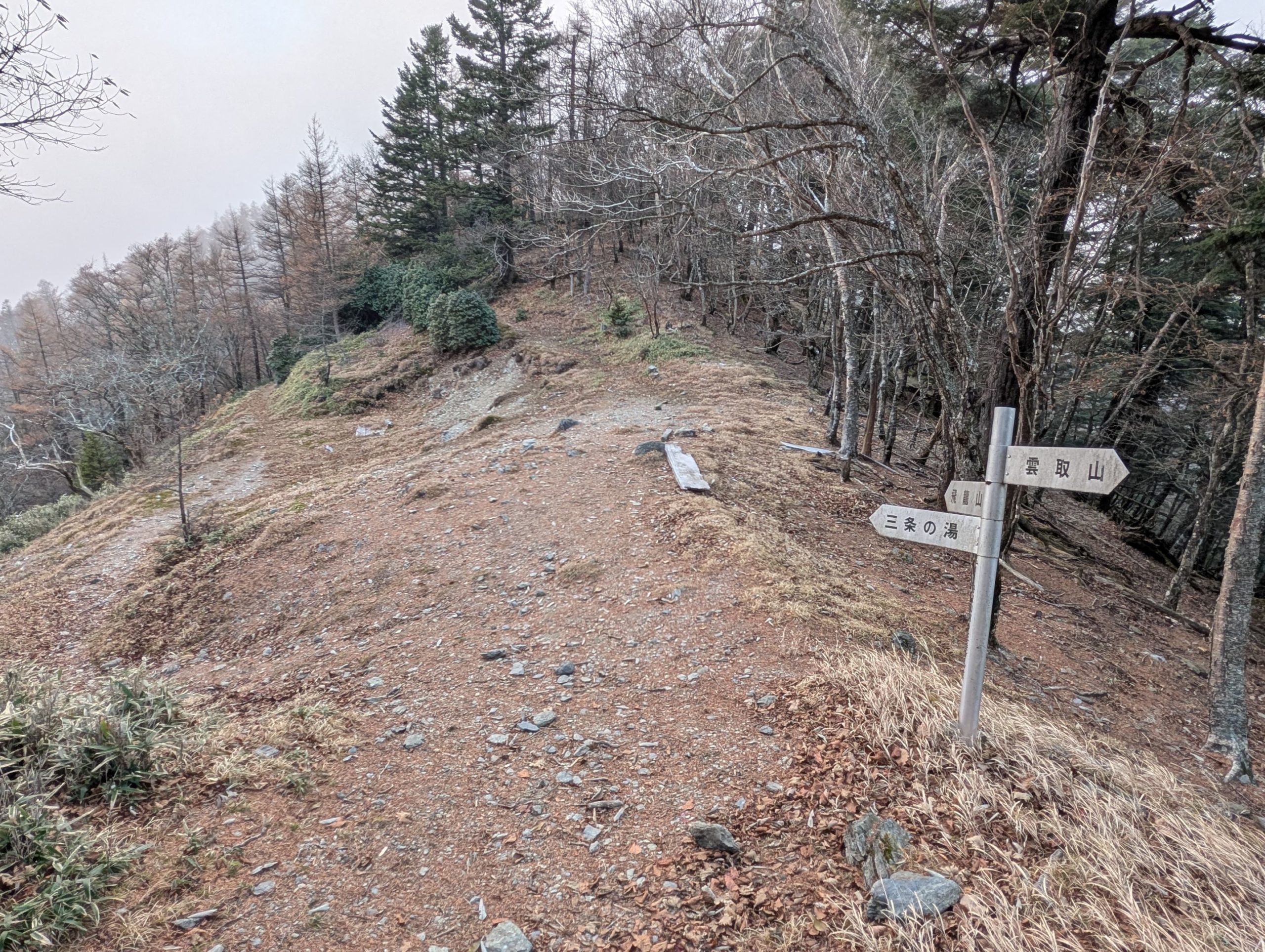
Looking at the Yamap app, I was worried because there were quite a few warnings about the route to Sanjo-no-Yu being rough, a narrow path hidden by fallen leaves and sand, prone to slips, and easy to get lost on. So I asked my roommates at Kumotorisanso about their descent routes. One was doing a round trip to the Kamosawa trailhead, another was going from Sanjo Darumi to Mt. Hiryu and then to Tabayama Village, and the third person was undecided. I had actually thought most people would go via Sanjo-no-Yu, so it was a bit surprising, and coupled with forgetting my trekking poles, it made me even more indecisive.
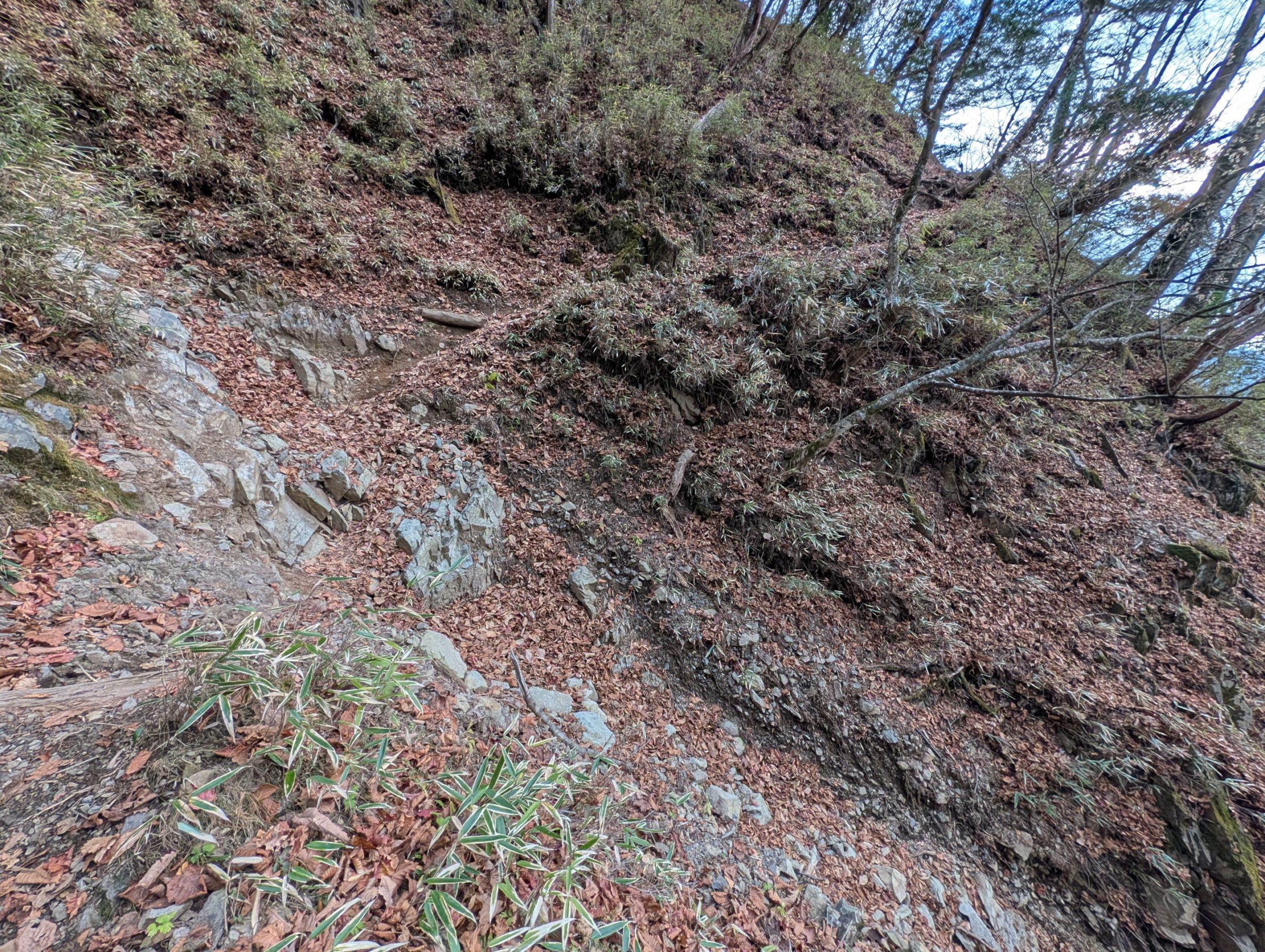
In such situations, I decided to stick to my original plan and head for Sanjo-no-Yu. Indeed, there were places along the way that required caution, and some spots where I thought I might get lost if I wasn’t careful. However, it was a manageable route as long as you weren’t a complete beginner.
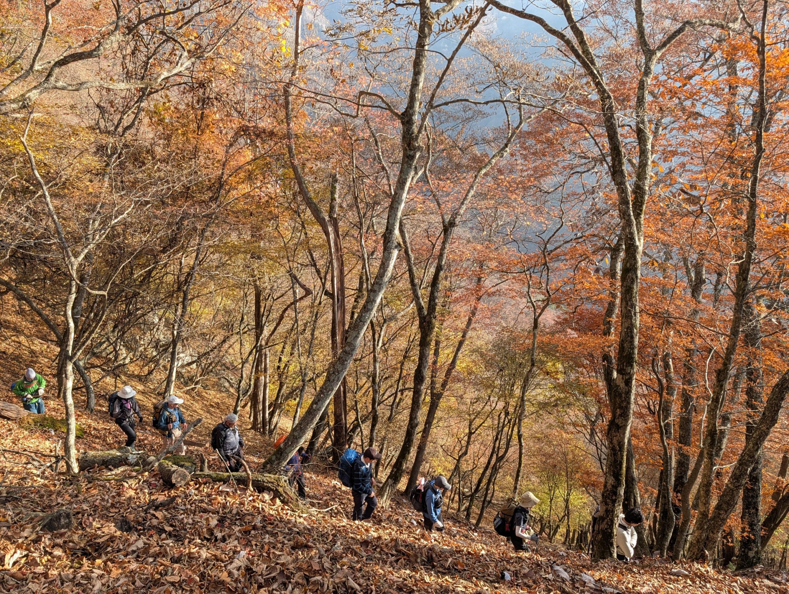
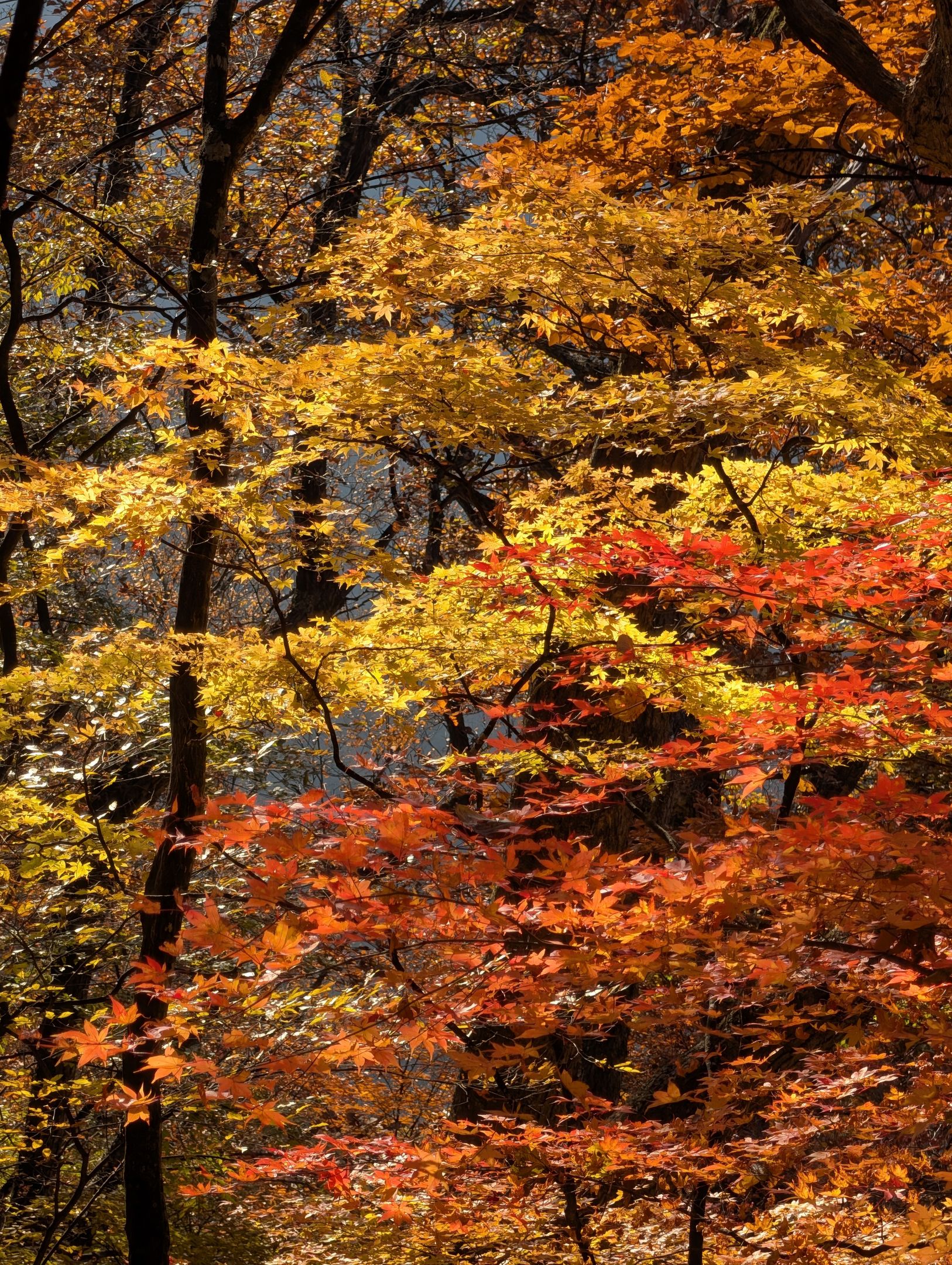
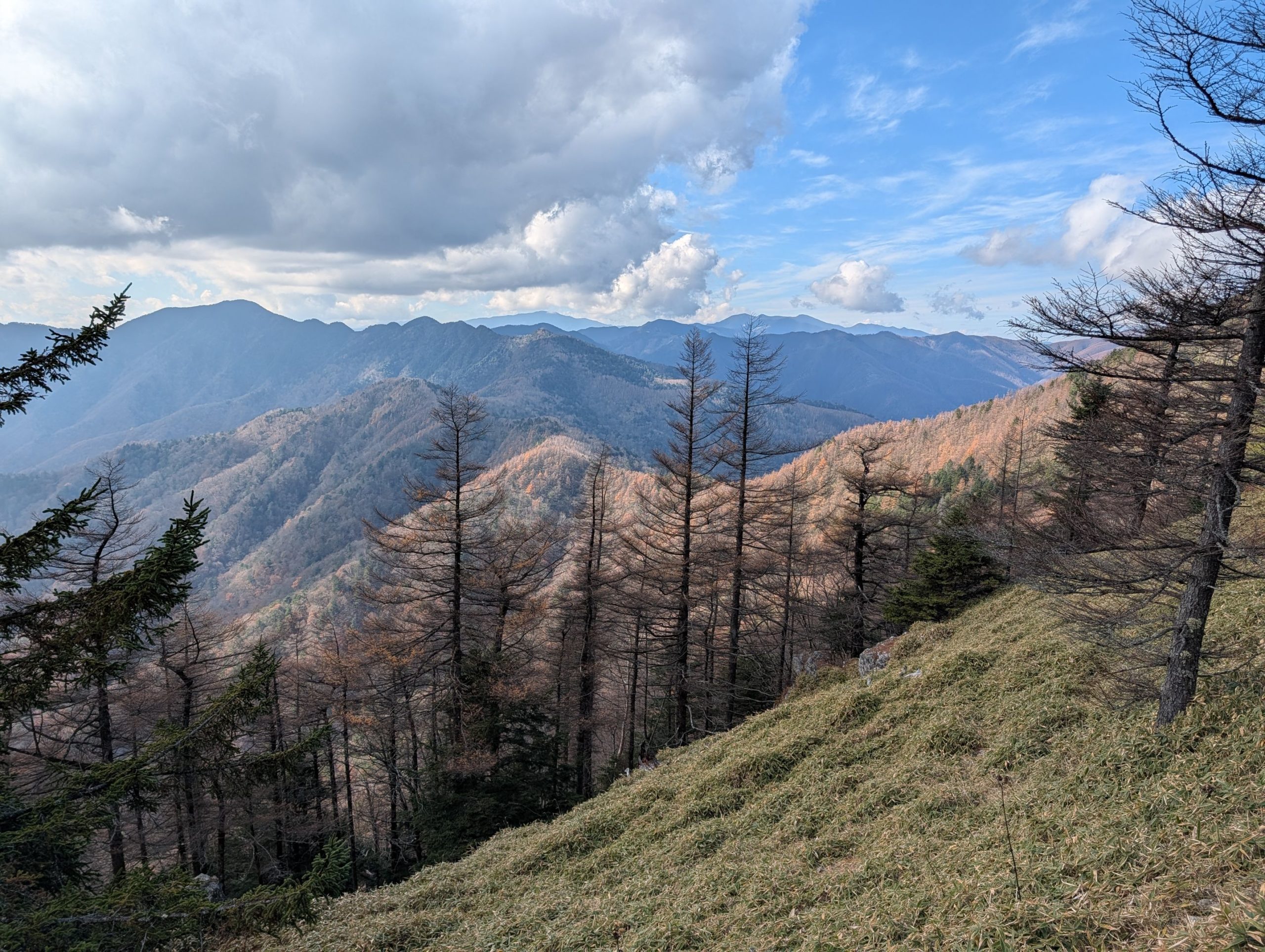
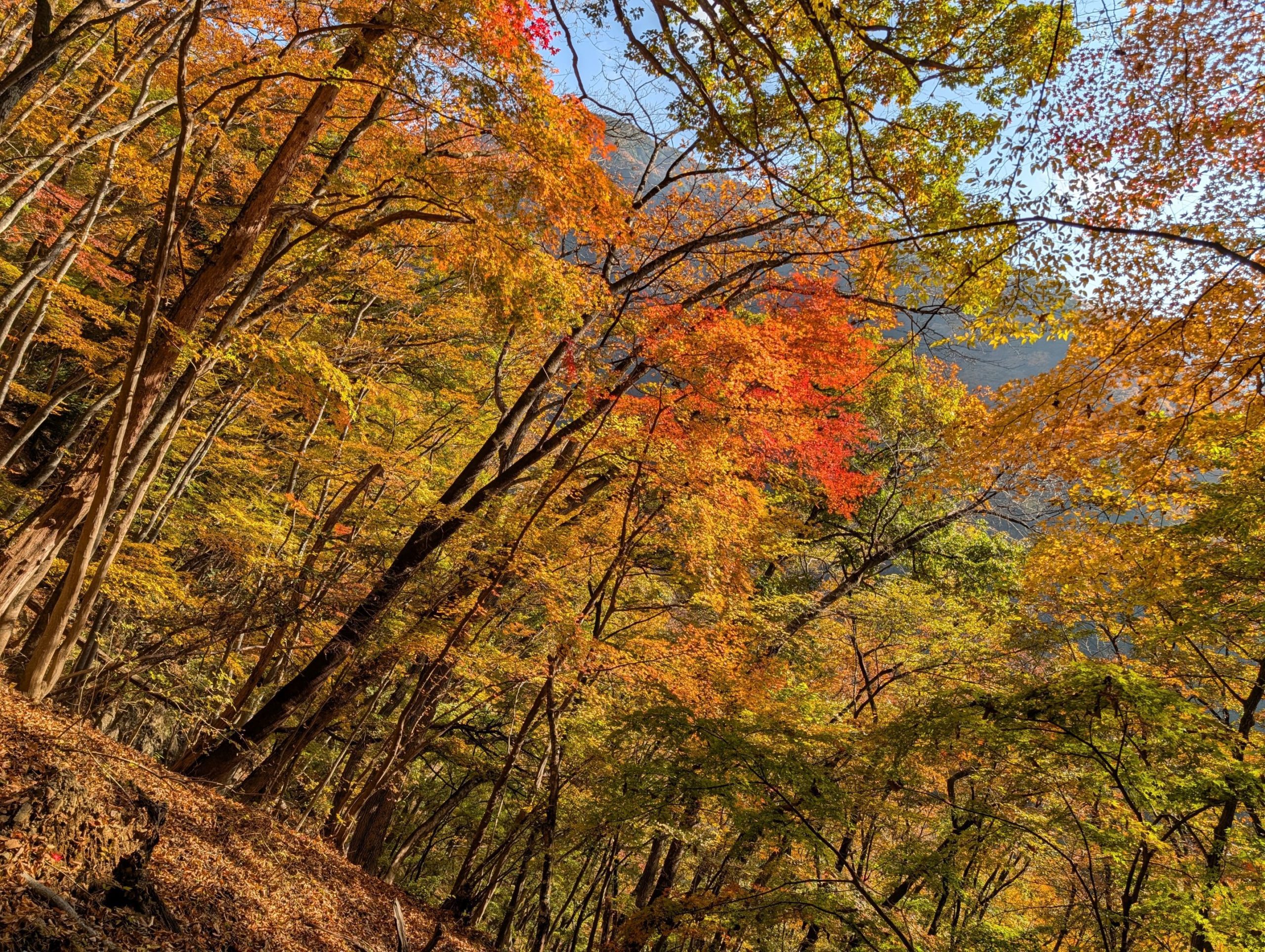
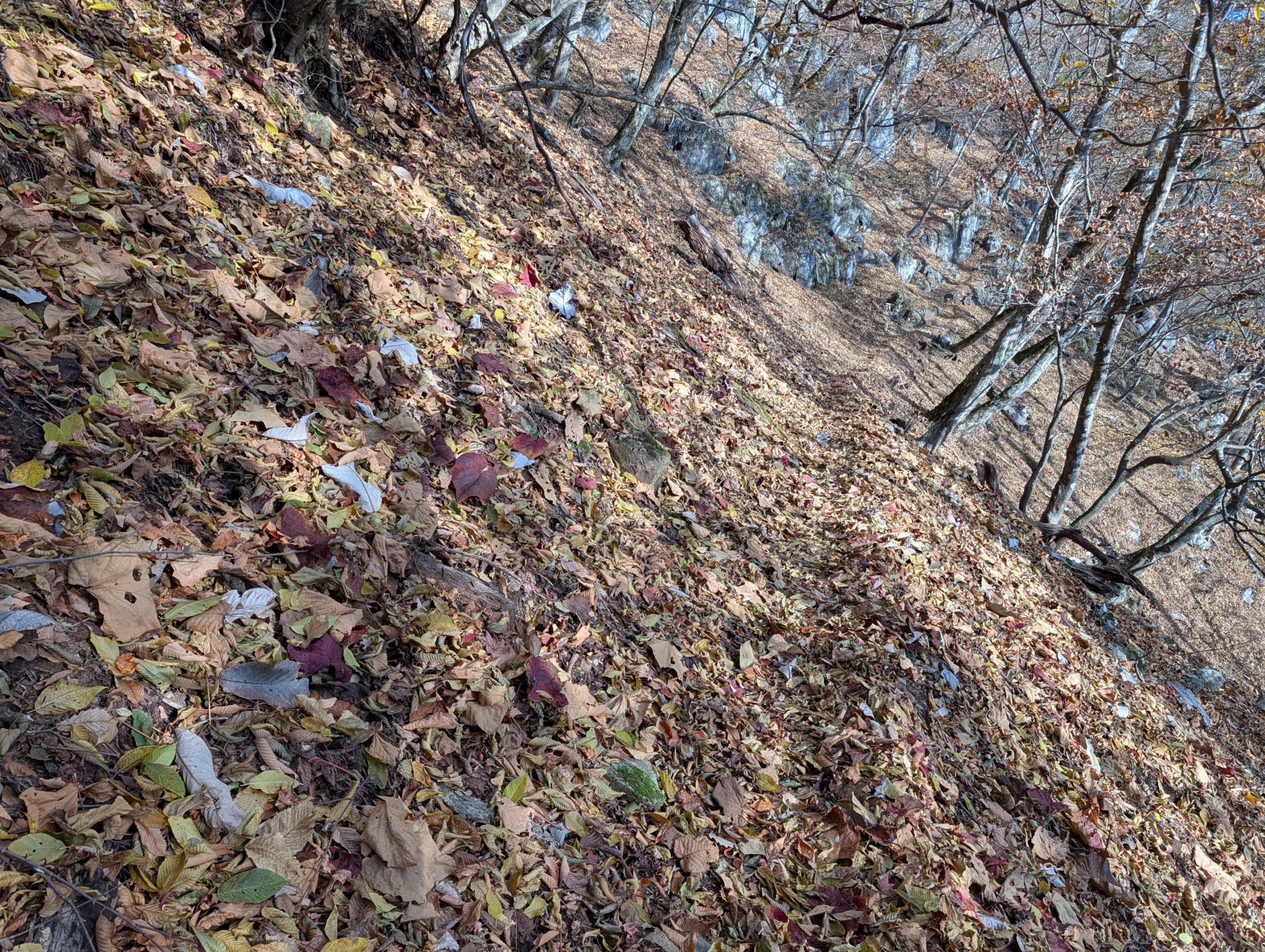
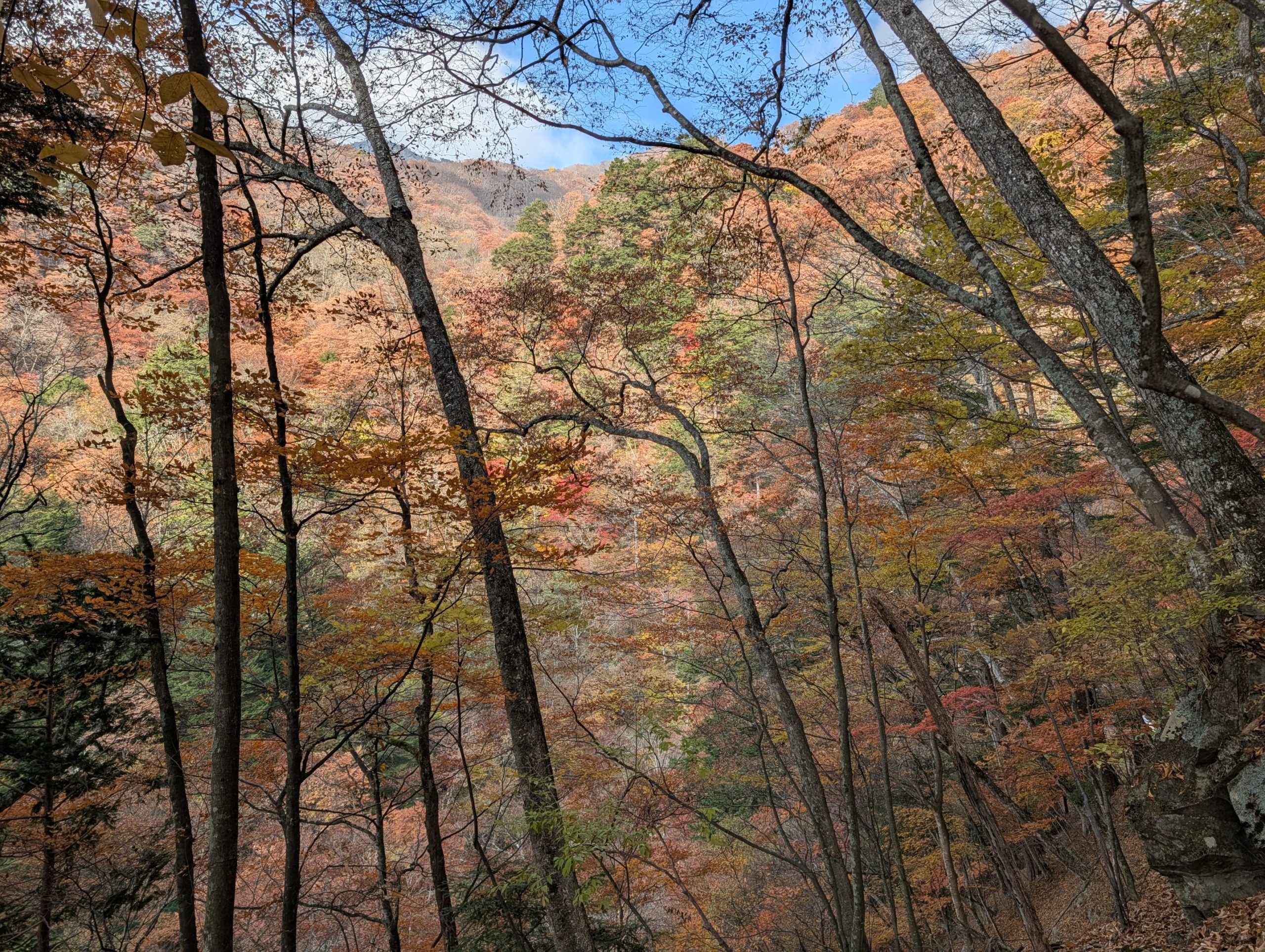
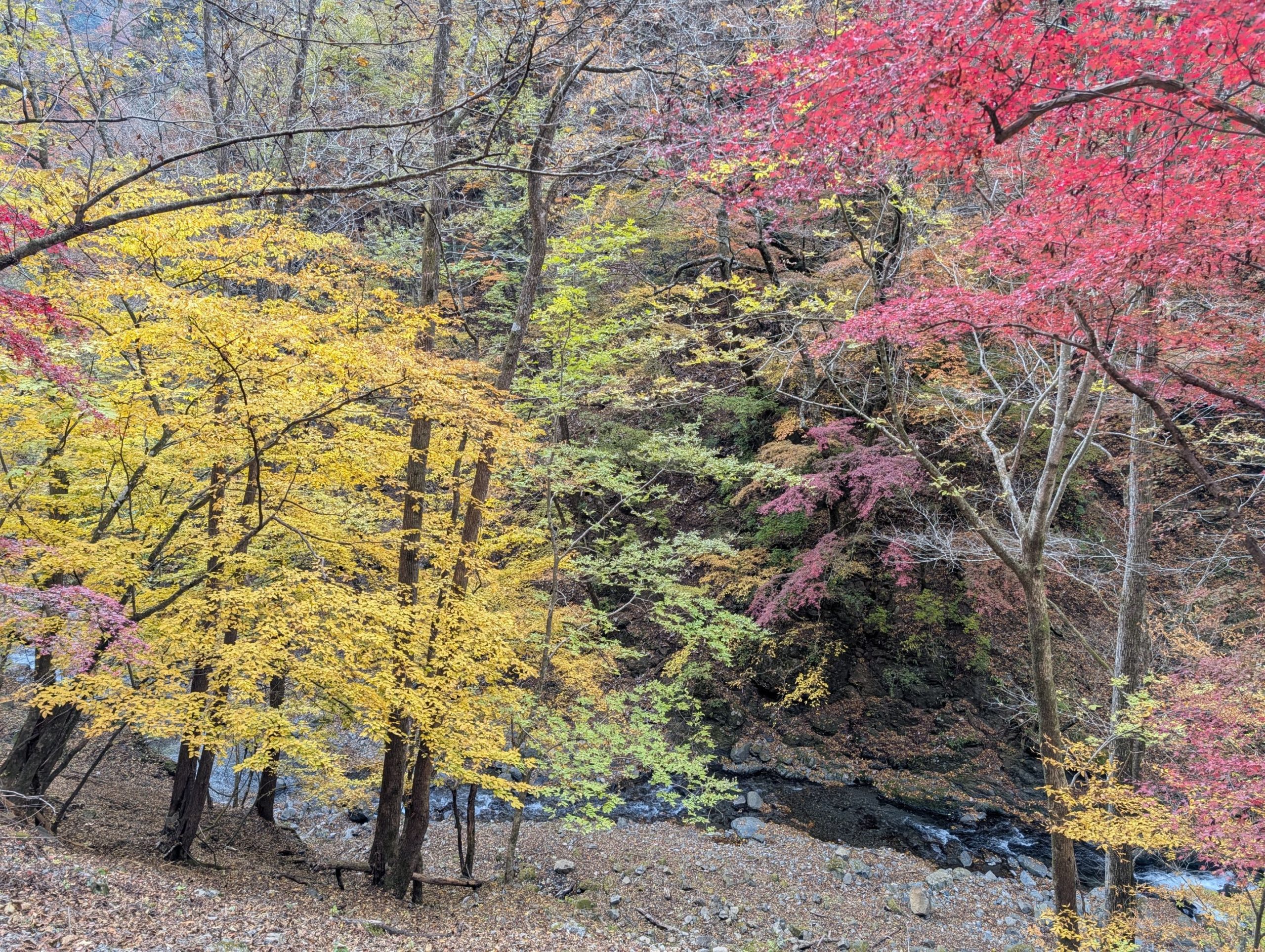
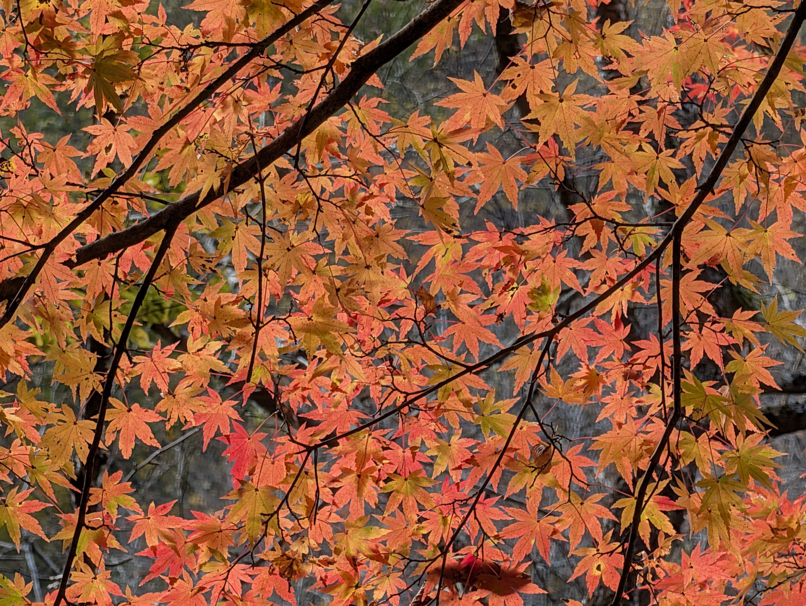
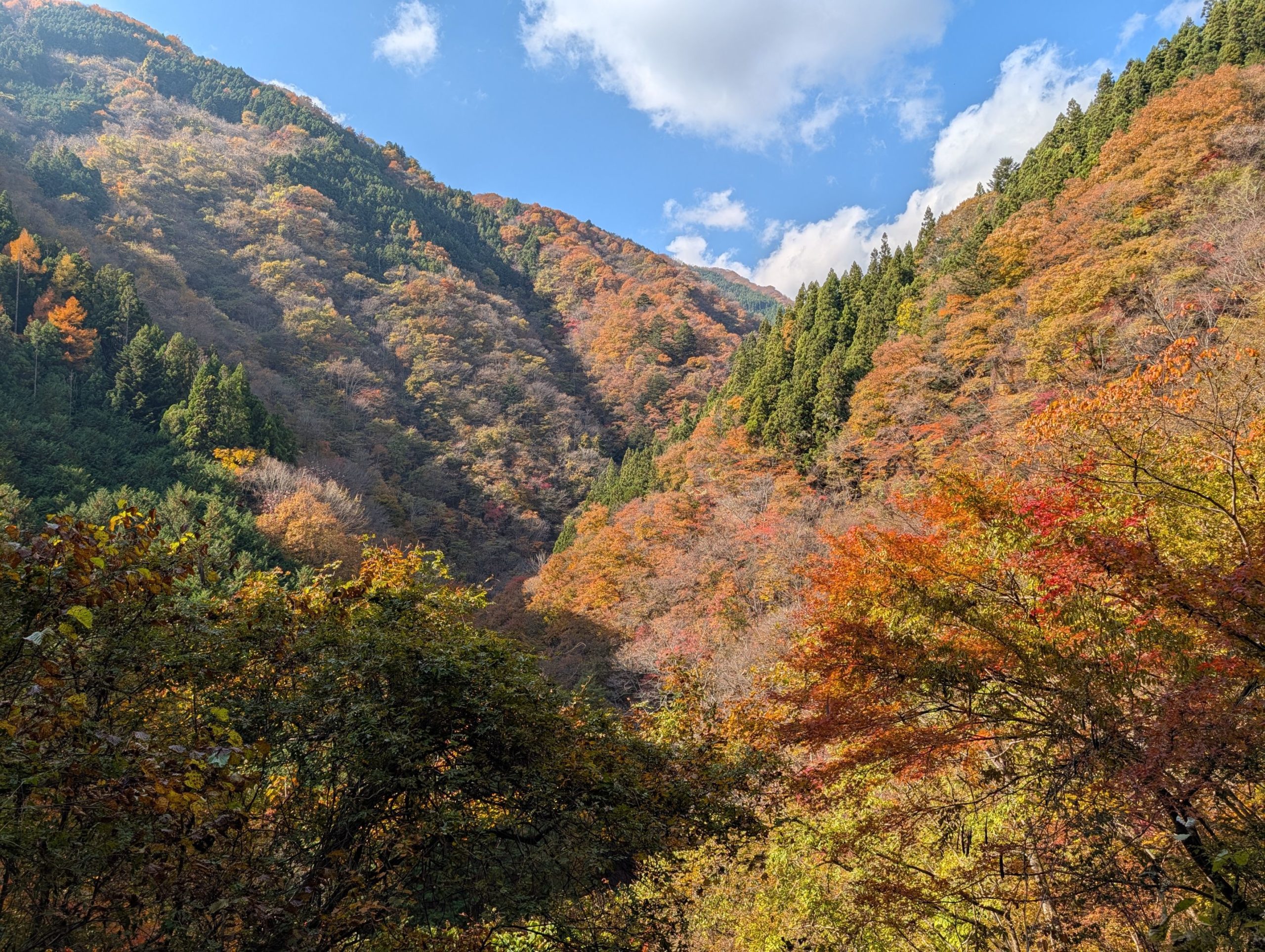
The route to Sanjo-no-Yu was surrounded by beautifully autumn-colored trees as the elevation dropped, and there was the joy of walking through rustling fallen leaves. Also, the sweet scent of katsura (Japanese Judas tree) leaves in autumn wafted through the air in places, which was lovely. On the other hand, there were few people heading from Sanjo-no-Yu to Mt. Kumotori or descending in the same direction, making for a quiet hike.

As I walked through the pleasant autumn foliage, I heard the sound of a stream, and seeing it finally meant Sanjo-no-Yu was just a bit further. I was looking forward to soaking in the hot spring, but many sources said day-trip bathing started at 10 AM on Sundays, so I’d have to wait about an hour.
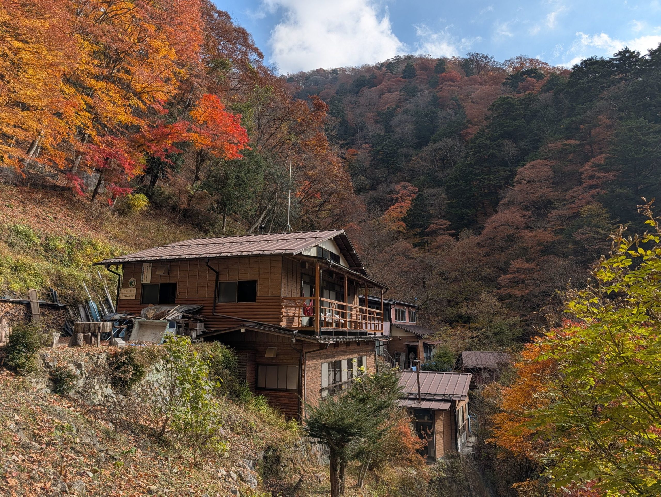
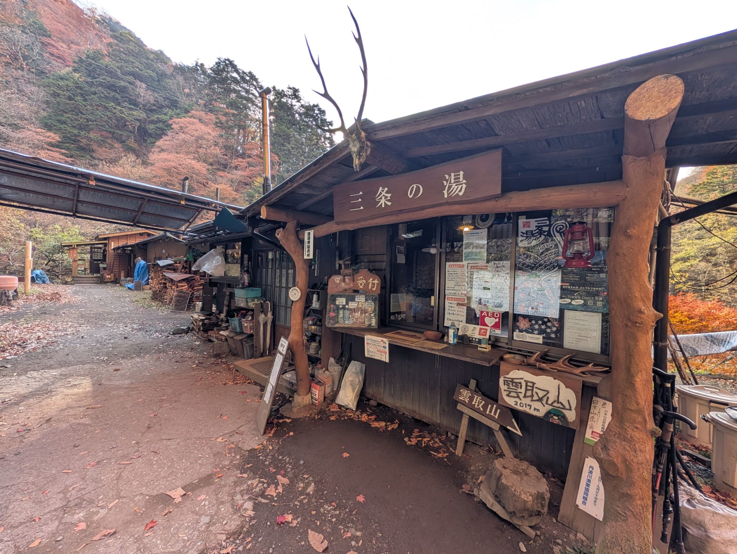
I arrived at Sanjo-no-Yu. I had really wanted to stay here overnight, but unfortunately, there were no vacancies, so I came hoping to at least enjoy a day-trip bath. However, when I inquired at the reception, they told me that day-trip bathing wouldn’t start until 1 PM at the earliest today… I definitely couldn’t wait that long…
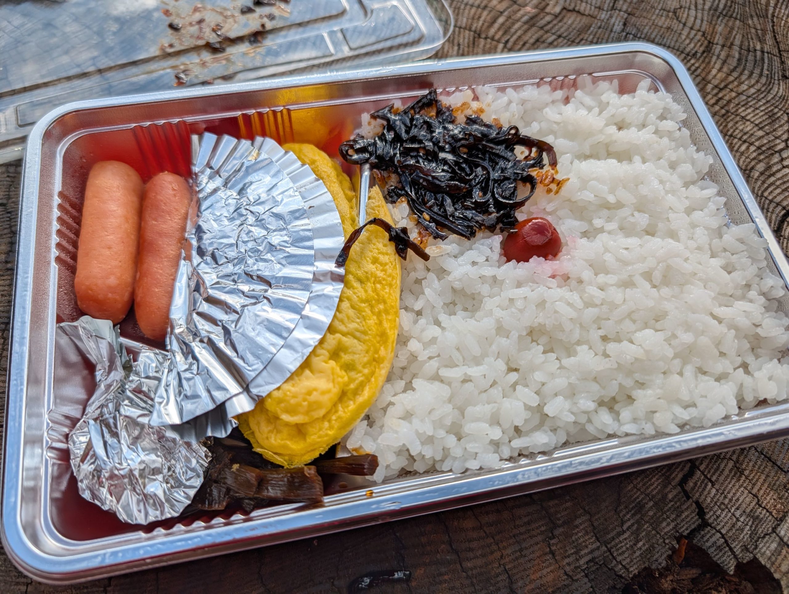
It was a shame I couldn’t get into the hot spring, but to at least enjoy the magnificent location a bit, I took out the bento box prepared for me at Kumotorisanso and enjoyed my second breakfast of the day. If I get the chance, it might be nice to stay here and enjoy a route that passes through Mitsumine Shrine, Mt. Kumotori, and Mt. Hiryu.
Sanjo-no-Yu ~ Omatsuri Bus Stop: Forest Road Walk Enjoying Magnificent Autumn Foliage
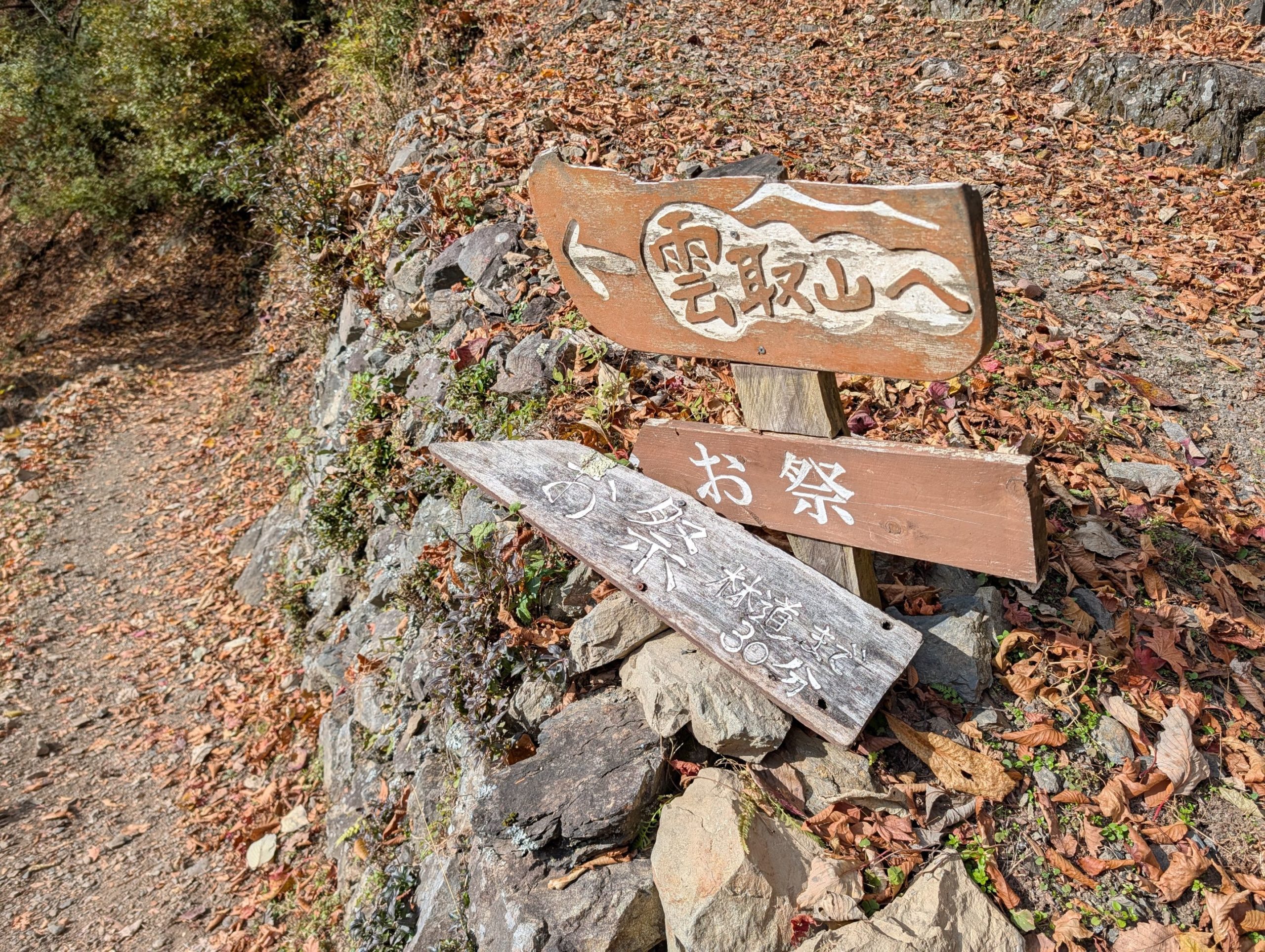
With over two hours still remaining to the Omatsuri bus stop, the phrase “30 minutes to the forest road” caught my attention a little. Was I going to walk on a forest road (meaning cars would pass?) instead of a mountain trail on the way back? I actually didn’t know at this point that most of the route to Omatsuri was a forest road.
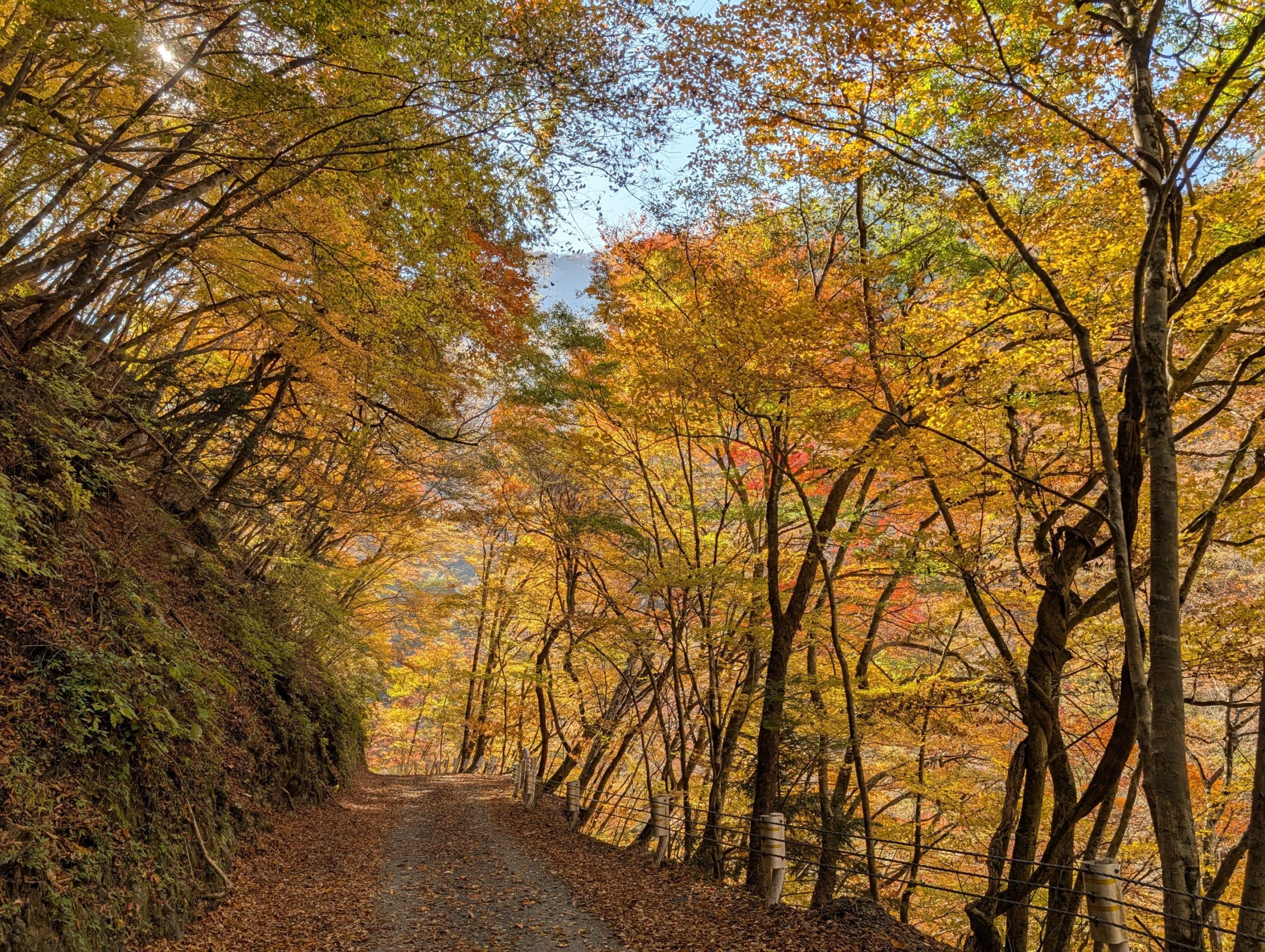
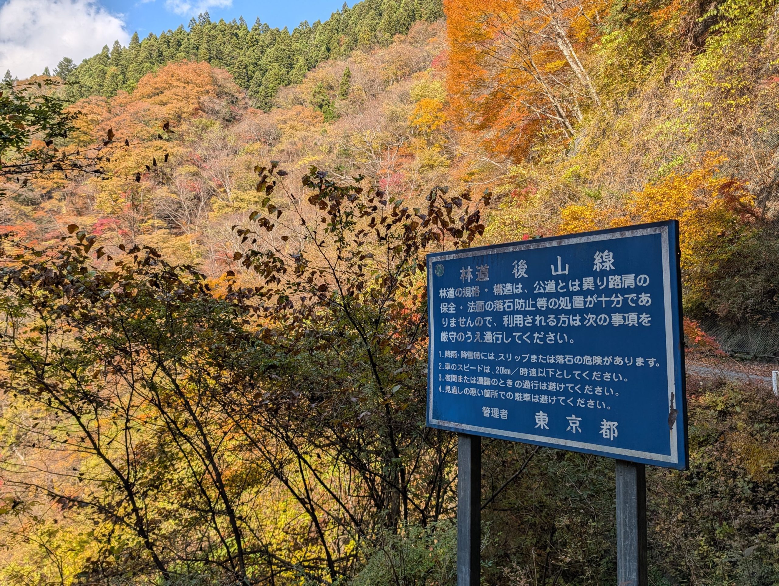
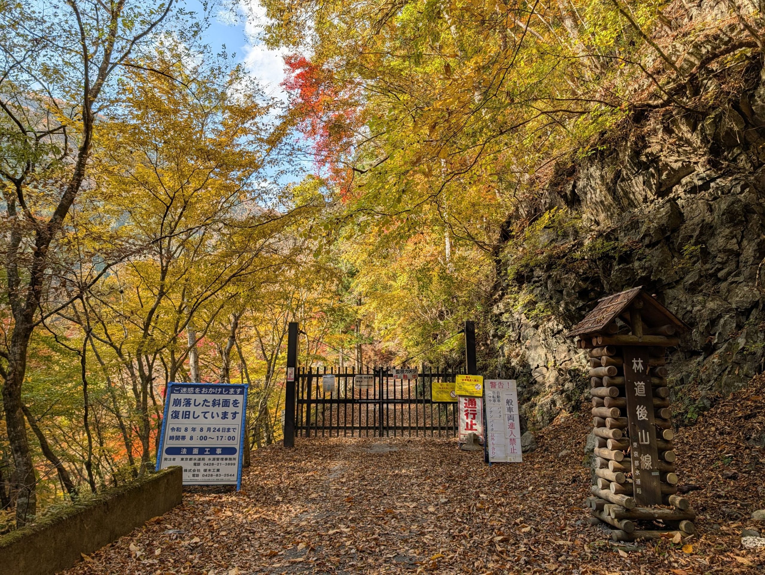
About 30 minutes from Sanjo-no-Yu, I came out to a place where there were actually about two cars parked, so it seemed to be a forest road. However, it wasn’t a well-maintained forest road; it had lots of loose rocks, and it wasn’t a path you’d really want to drive on. In fact, I didn’t encounter any cars at all (I found out at the forest road entrance that it was actually closed to traffic).
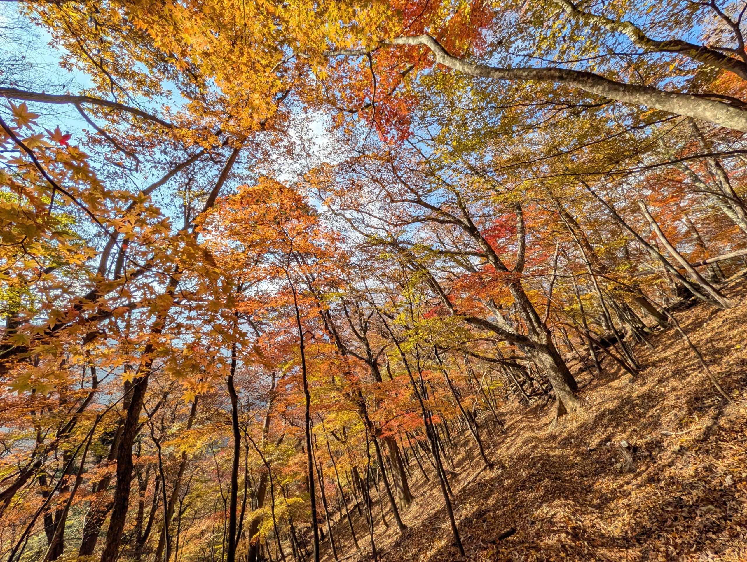
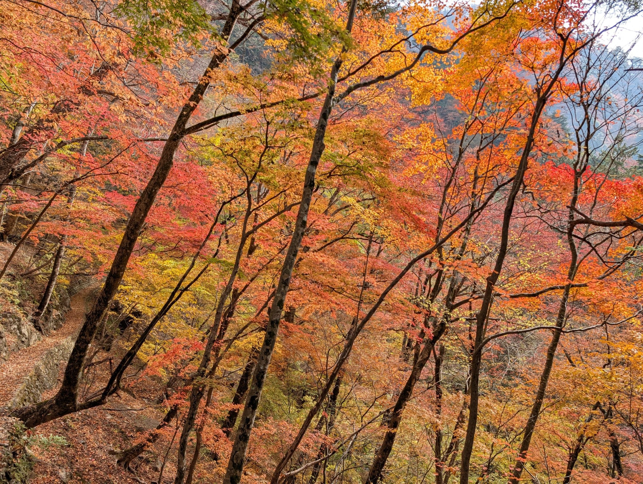
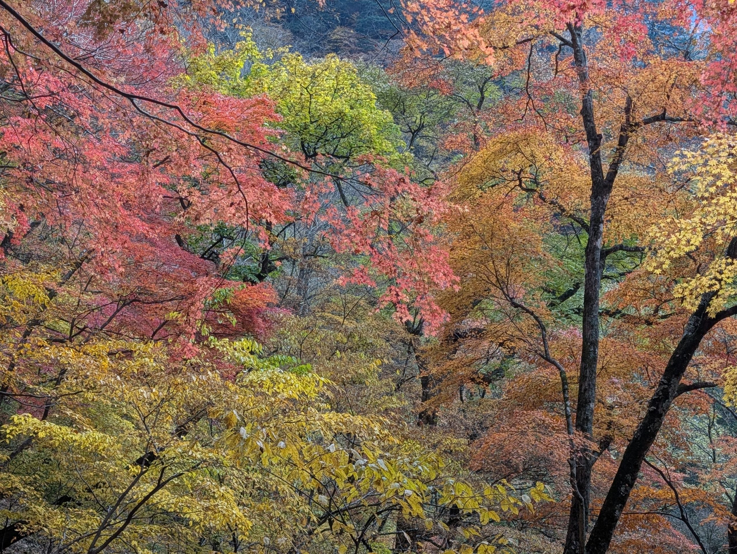
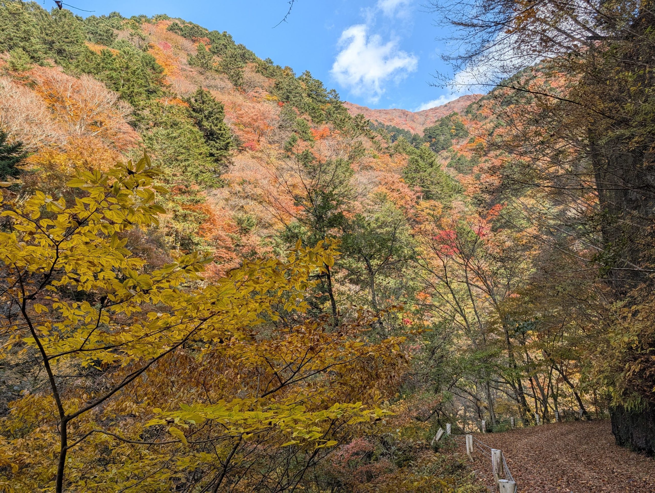
The autumn foliage along this forest road was truly magnificent, and the almost two-hour walk, which could easily have become monotonous, was completely engaging and pleasant. Fortunately, the strain on my knees and feet from forgetting my trekking poles was manageable, and I seemed to be able to descend safely.
From the Omatsuri bus stop to Sanjo-no-Yu, it’s about a 3-hour climb via this forest road. However, since it’s a forest road, the incline is gentle, and you can enjoy stunning autumn foliage during this season. So, I thought staying overnight at Sanjo-no-Yu and doing a round trip would be a great option for this time of year.
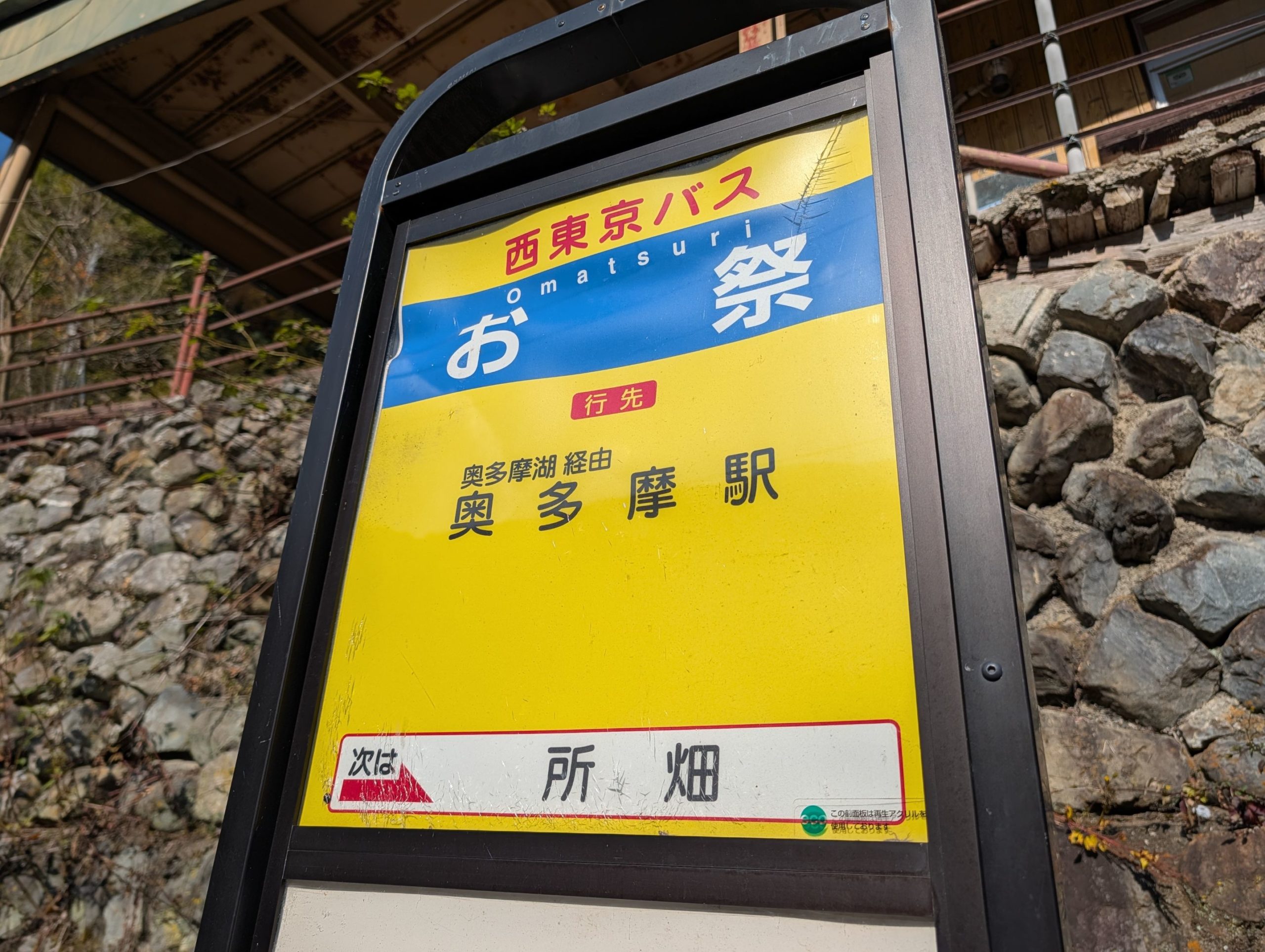
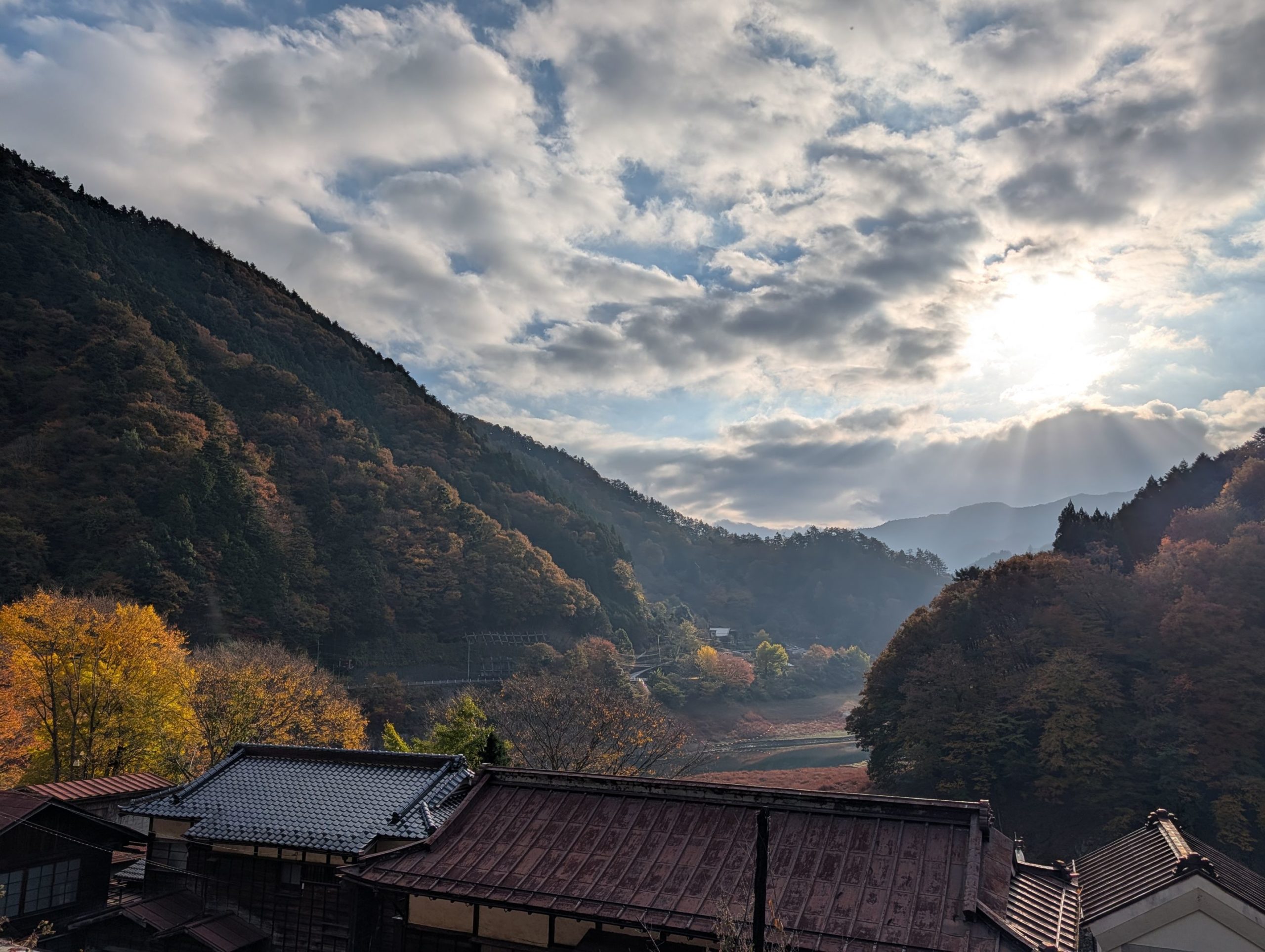
I finally descended, and I was a bit surprised to find a bus stop with the unusual place name “Omatsuri” (Festival) right near the Mt. Kumotori / Mt. Hiryu trailhead. An hour until the next bus… and nothing around… this is tough…
When the bus finally arrived, I was startled by a gasp, and surprisingly, two of the three people who had been in the same room at Kumotorisanso were on the almost empty bus! Apparently, the person who went to Tabayama via Mt. Hiryu and the other person who was contemplating their descent route both ended up descending via Mt. Hiryu on different trails and coincidentally met up in Tabayama. And there I was, joining them – it’s a funny coincidence!
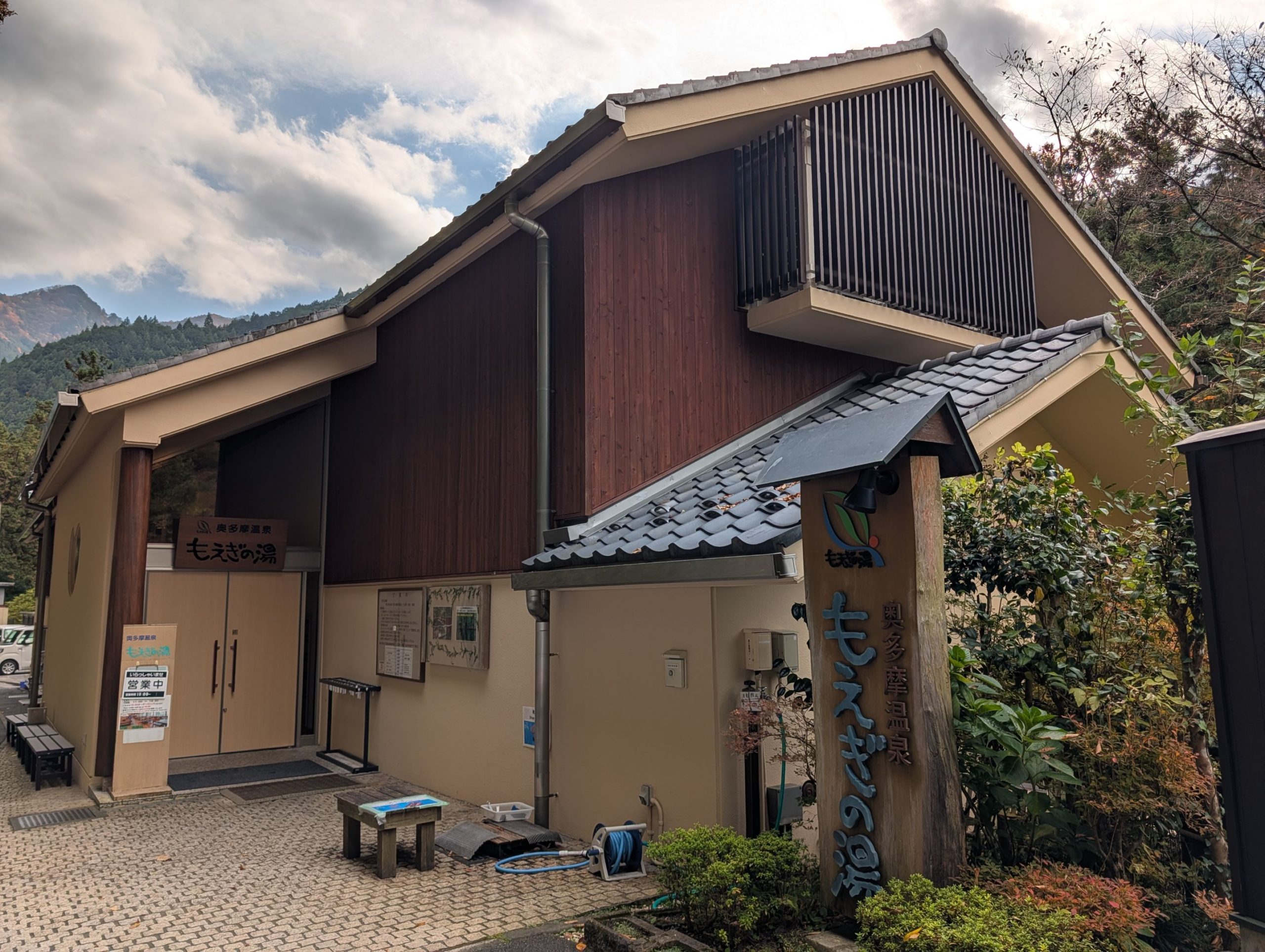
Moegino-Yu was one of the Okutama hot springs I’d wanted to visit for a while. It has alkaline water with a uniquely smooth, slippery feel on the skin that was quite pleasant. Looking at the hot spring analysis report, it was a bit interesting: it stated, “Conforms to the hot spring law based on fluoride ions and metaboric acid listed in Appendix II of the Hot Spring Law. However, it does not qualify as a therapeutic hot spring, so there is no specific spring quality name.” And indeed, no spring quality name was listed in the analysis report. Nevertheless, I enjoyed the distinctive water and had a relaxing time. On the way back, I leisurely rode the Green Car (I didn’t realize the Chuo Line had Green Cars!).

コメント