
On a weekend with good weather, I was planning a hike up Mt. Kobushi, one of Japan’s 100 Famous Mountains, which I’d wanted to climb for a while. It’s a tricky one because there are various routes you can take: a day trip, an overnight stay, or even a multi-day traverse if you have the time. Since there’s already snow this time of year, accessing from the Tokuchan Shindo trail via Nishizawa Valley on the south side of the mountain would probably mean an overnight stay at Kobushi Hut, considering the distance. However, the route from Mōkidaira on the Nagano side, following the source of the Chikuma River to the summit, seemed doable as a day trip.
The Loop Route via the Chikuma River Source
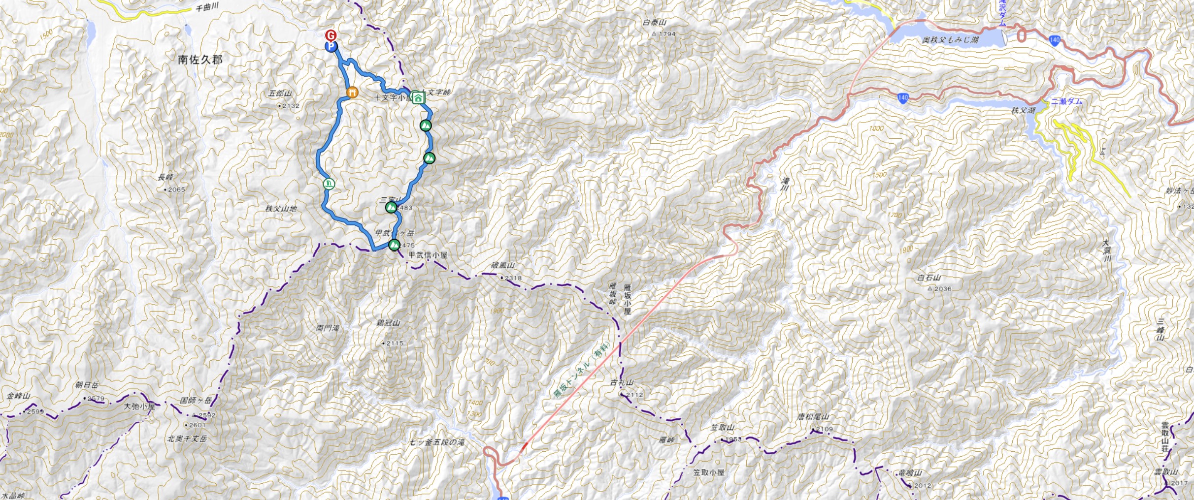
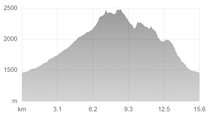
I booked a Times rental car at the last minute, so I couldn’t secure one with studless tires, and my schedule only allowed for Saturday. Because of this, my only option was to hike from the Mokidaira trailhead in Nagano, where I confirmed there was no snow or ice on the road to the parking lot at that time. I chose a loop route that would take me through the source of the Chikuma River to the summit of Mt. Kobushi, and then descend via Mt. Sanpo, Mt. Bushinshiraiwa, and other peaks. Looking at the YAMAP app, I was a bit worried about the rather steep descent, but considering the course time, I figured a day trip would still be possible even with snow, so I opted for the more enjoyable loop route instead of an out-and-back.
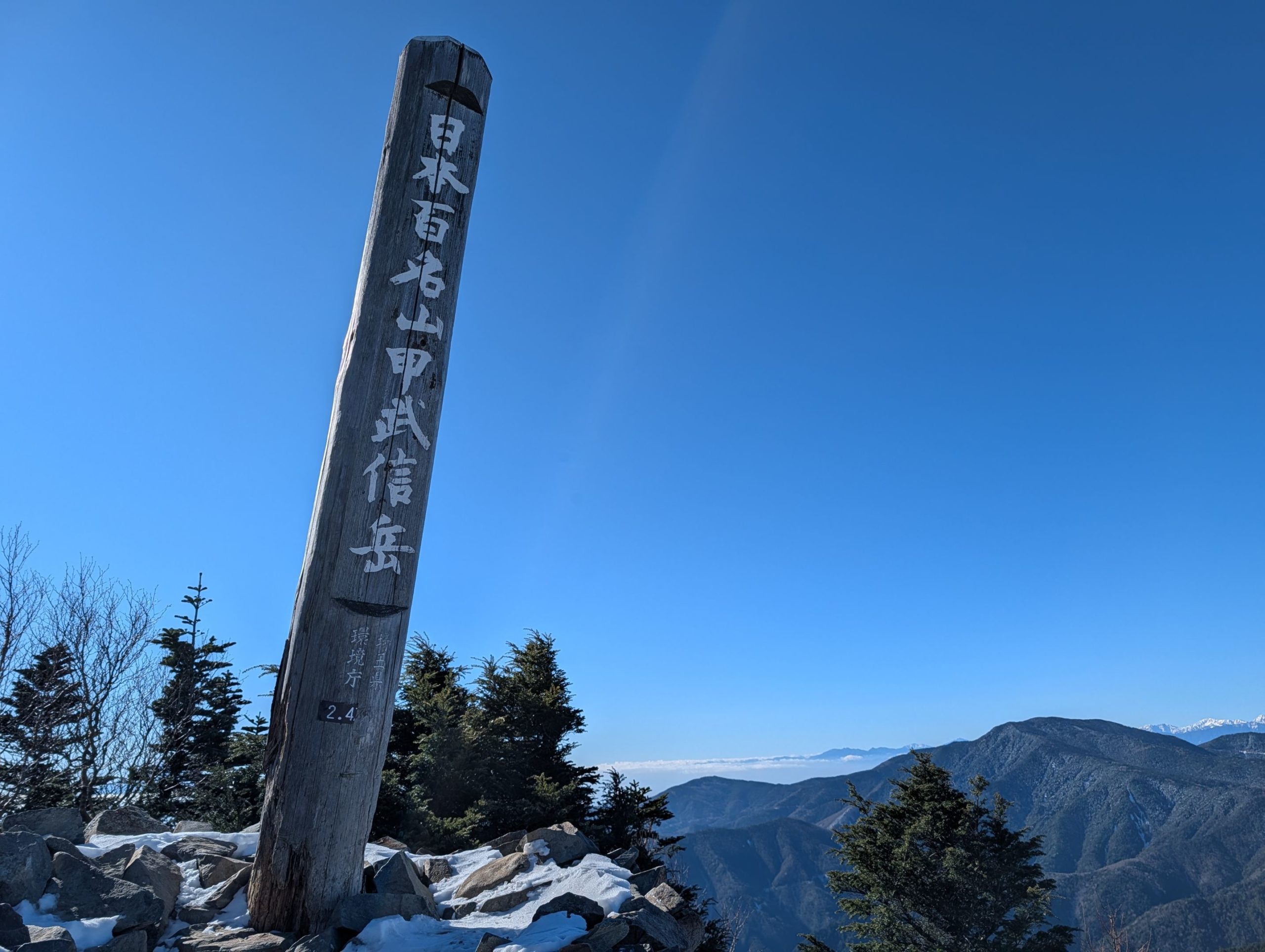
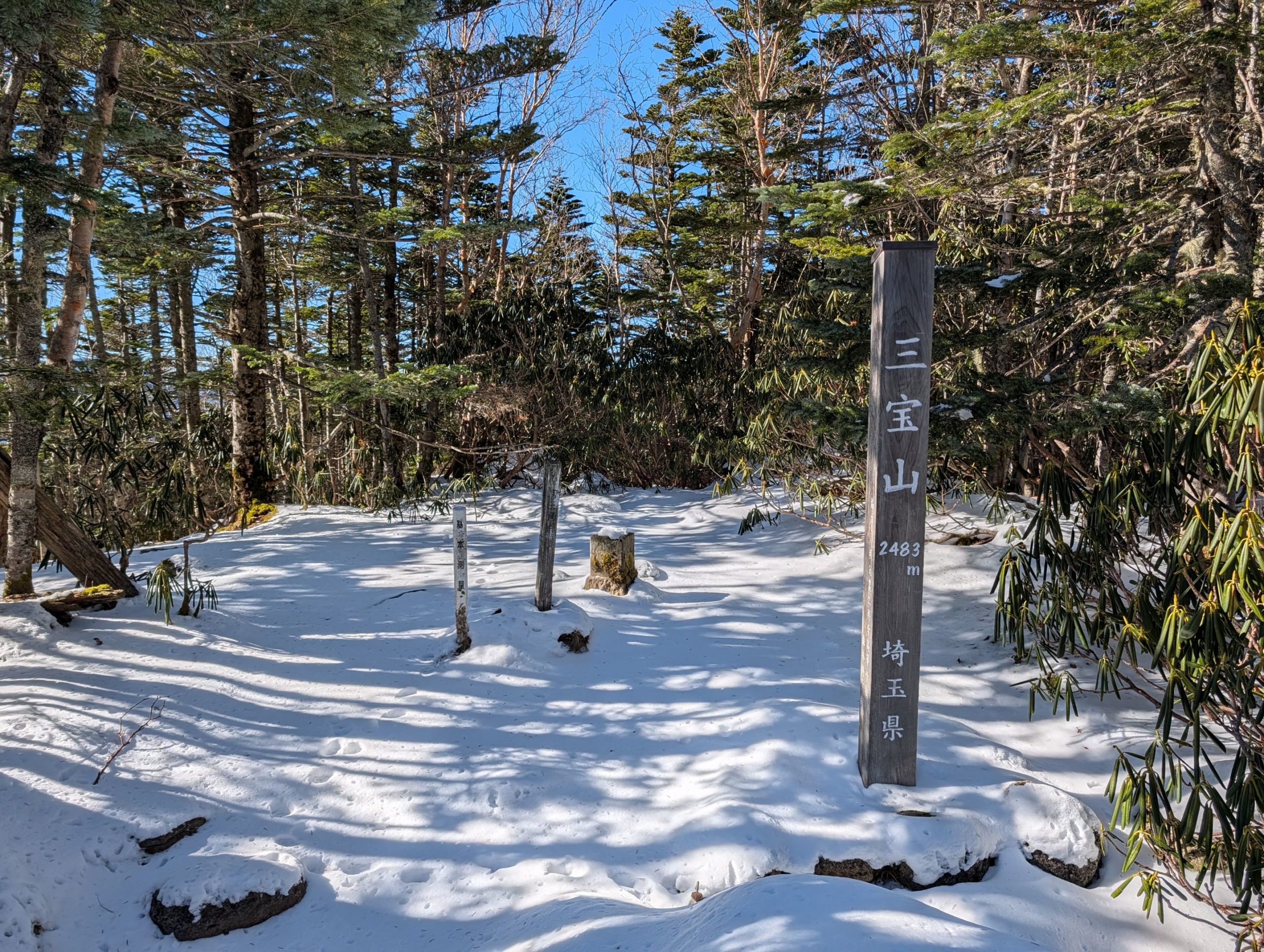
Regarding this route, I made several personal discoveries both during and after the hike. Honestly, I didn’t even realize Mt. Kobushi was in Saitama Prefecture when I started climbing, so I was surprised to see “Saitama Prefecture” written at the summit after ascending from a trailhead in Minamisaku, Nagano. I had always thought Nagano and Saitama didn’t share a border, with Gunma in between. But after descending, curiosity got the better of me, and I checked a map – turns out they do share a small border!
What’s more, Mt. Kobushi, as its name suggests, lies on the border of three prefectures: Yamanashi (Kōshū), Saitama (Bushū), and Nagano (Shinshū). And Mt. Kumotori, which I climbed recently, also sits at the border of three prefectures: Tokyo, Saitama, and Yamanashi. It was a surprise to realize these two mountains are relatively close, and you can even traverse between them by following the Saitama-Yamanashi prefectural border (Mt. Kumotori is in the bottom right corner of the map above, and you can see that traversing the prefectural border leads to Mt. Kobushi).
Furthermore, during the climb to Mt. Kobushi, I saw trail signs for Mt. Kinpu, a mountain I’d climbed before, which really made me realize how vast the Okuchichibu mountain range is. Traversing mountains like Mizugakiyama, Kinpusan, Kokushigatake, Kobushigatake, Hiryuzan, and Kumotoriyama would be a lot of fun!
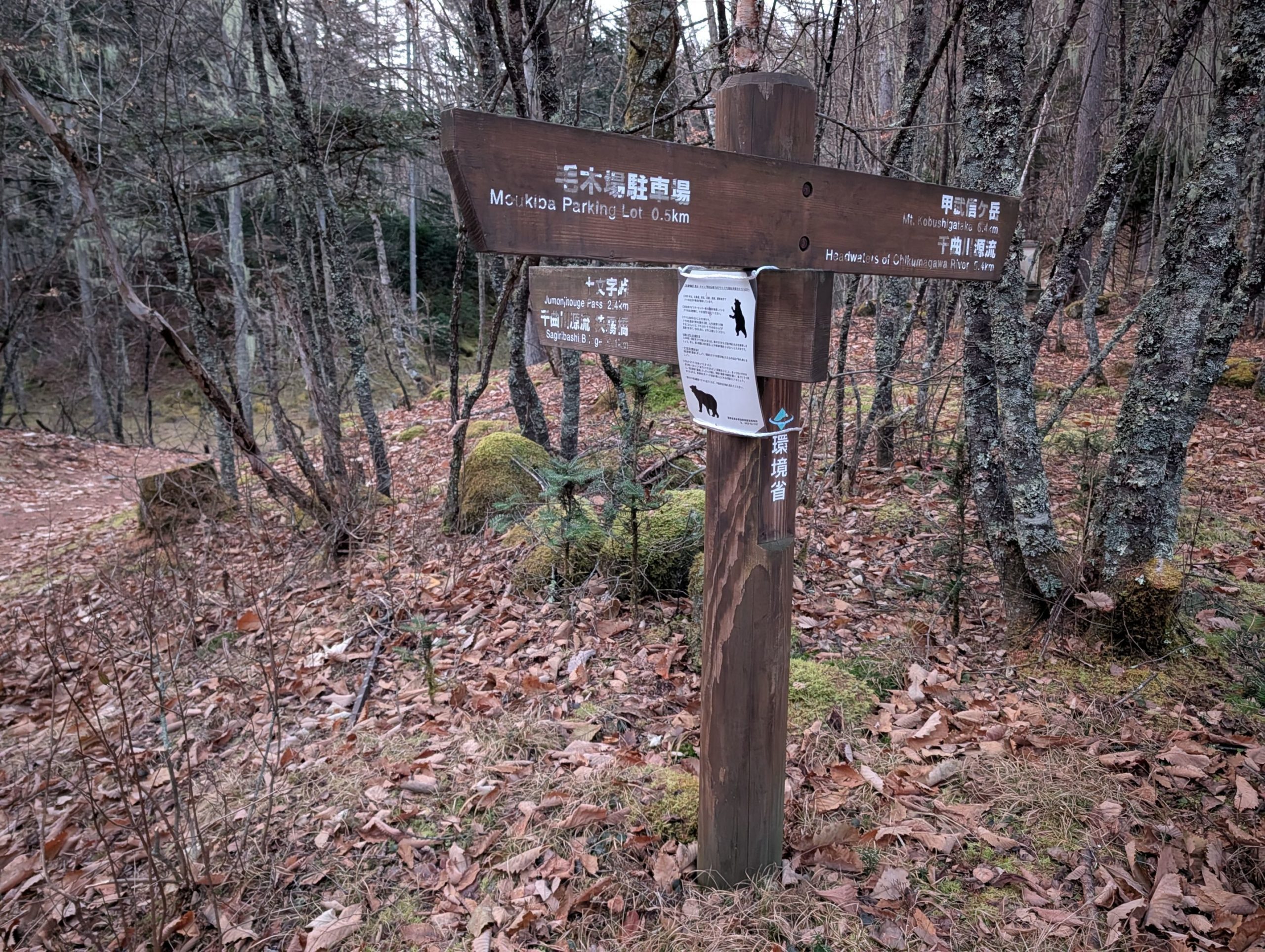
Mokidaira Trailhead to Name-daki Falls
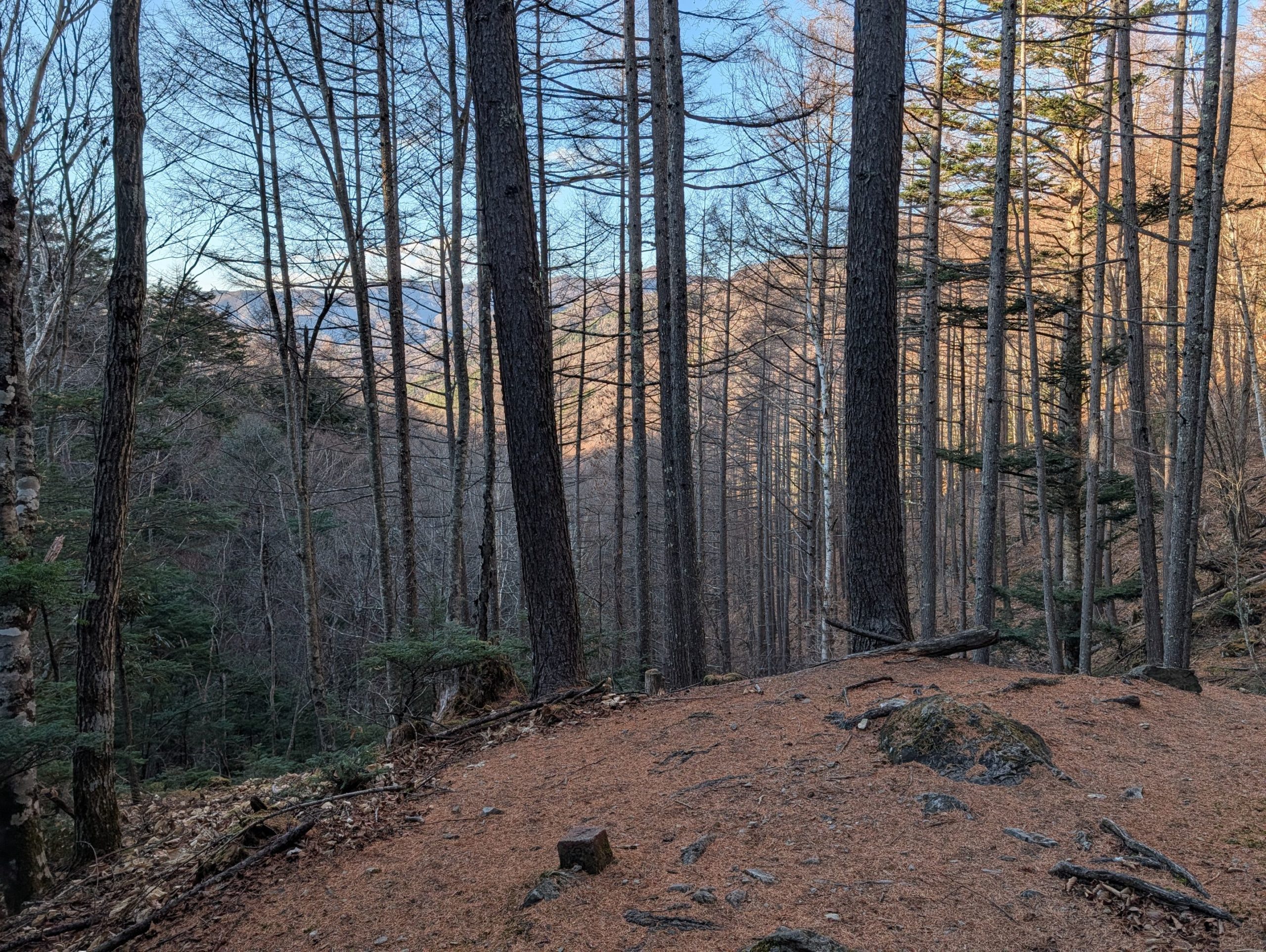
Luckily, there was no snow or ice on the road to Mokidaira Trailhead (Mokiba Parking Lot), and I arrived before dawn. This time of year, when it’s easy to imagine snow on the trails, there seem to be fewer hikers, so the parking lot was almost empty. I got to enjoy the beautiful starry sky for a short while before sunrise.
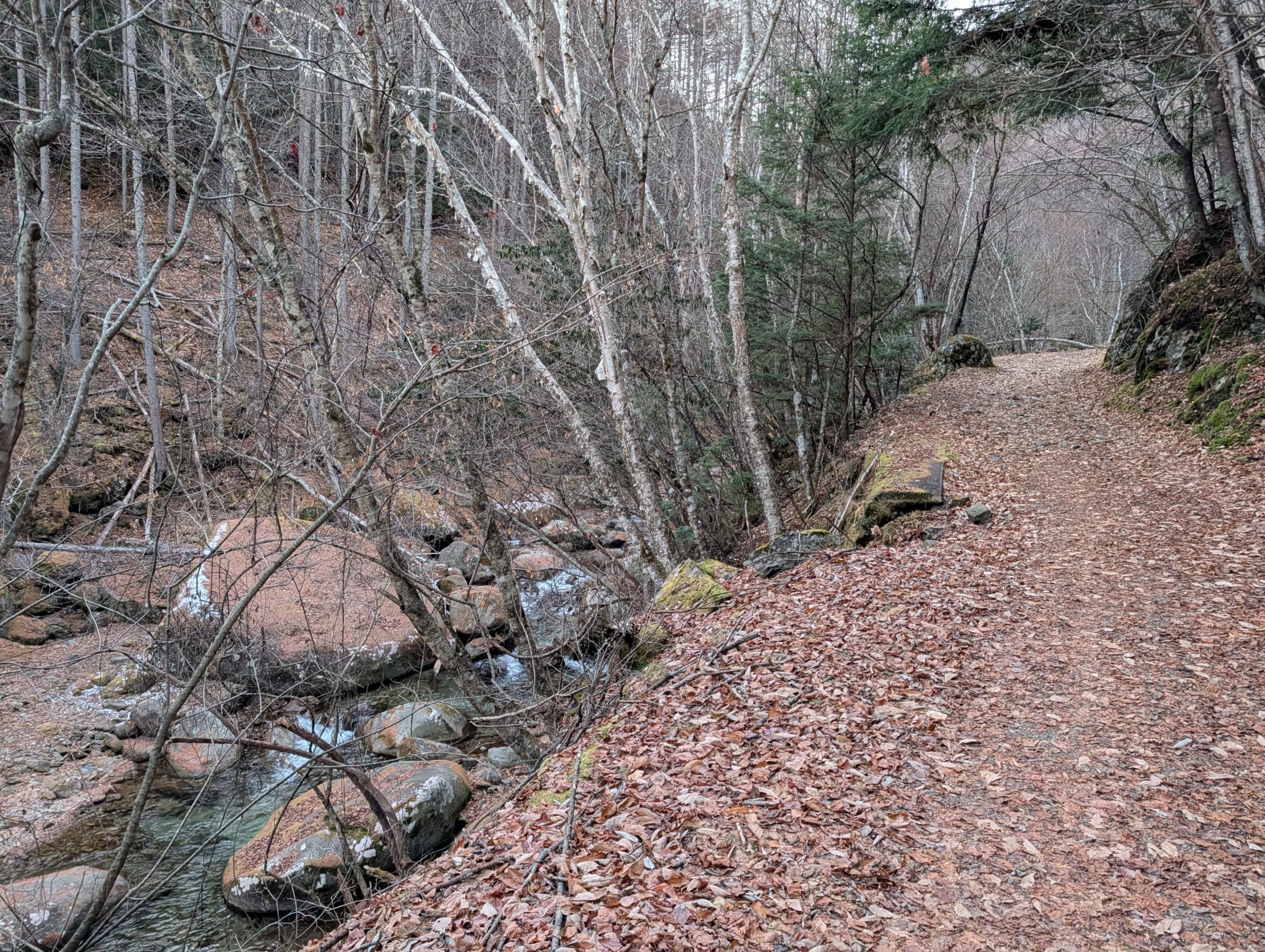
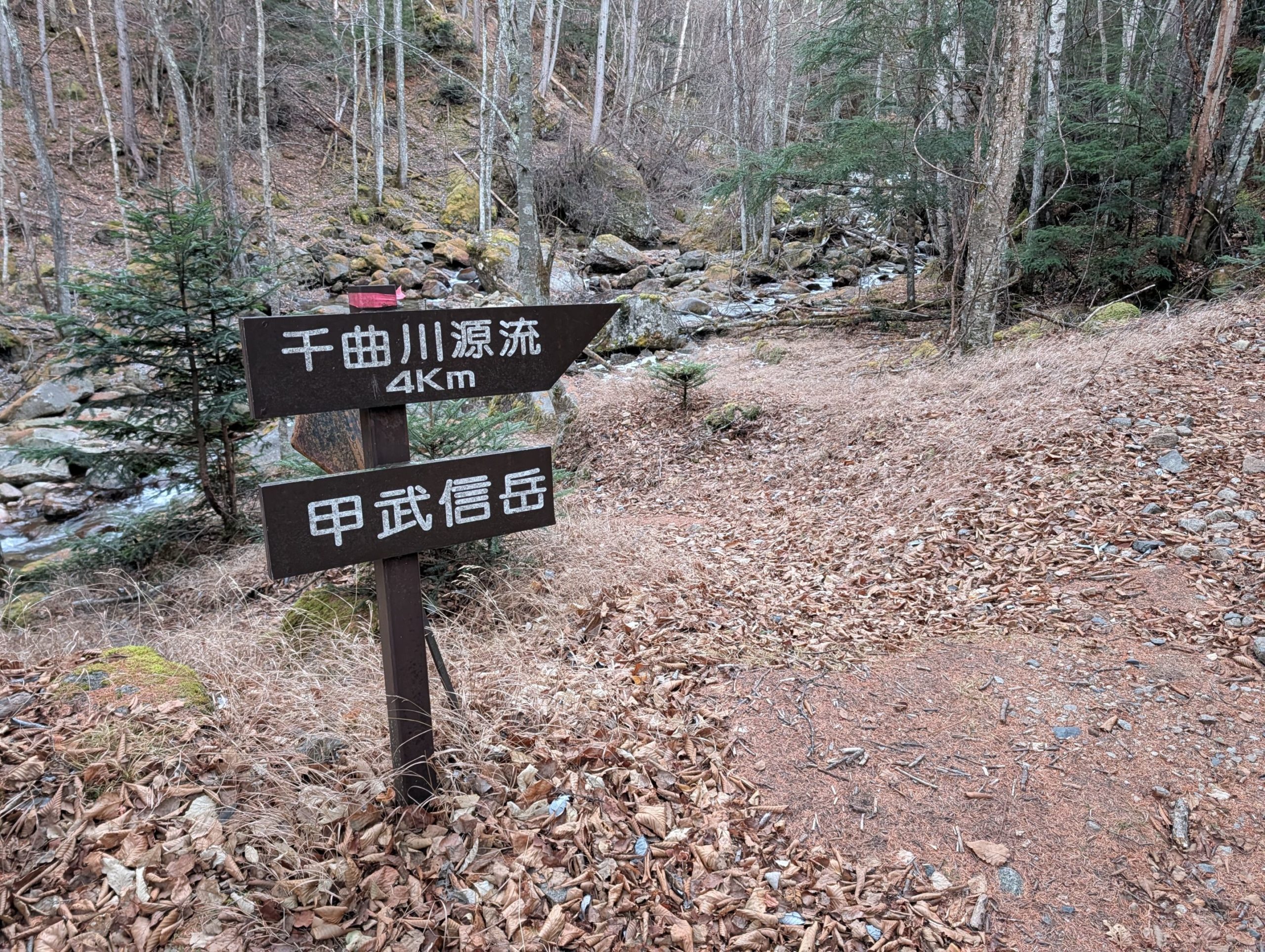
With hardly any other hikers around, and it being early morning, I hoped not to encounter any bears as I waited for it to get a little brighter before setting off. I walked along the river on the trail leading towards the source of the Chikuma River.
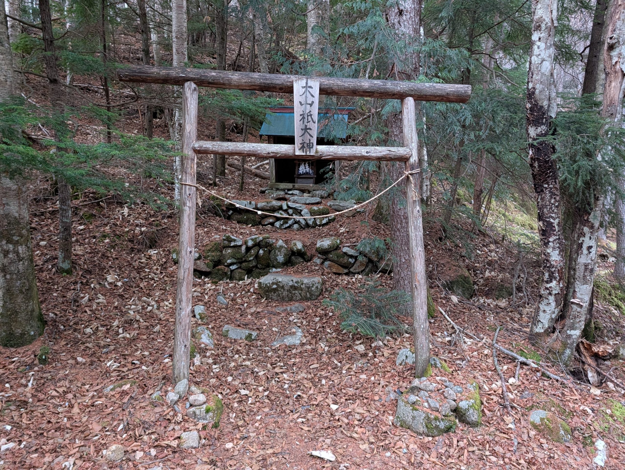
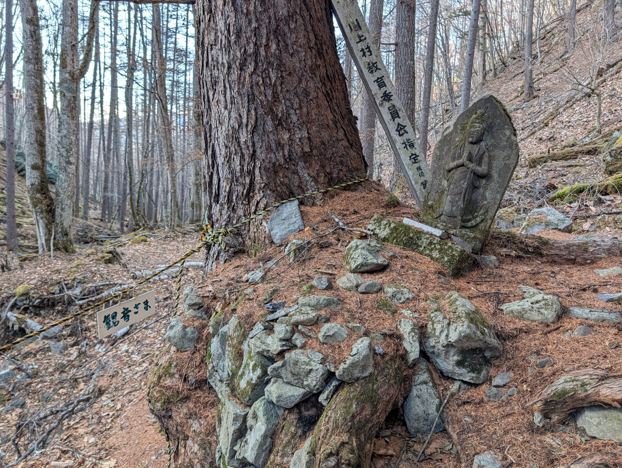
Pretty soon after starting the ascent, I found a shrine dedicated to Oyamatsumi-no-ookami, the mountain god. I prayed for a safe climb.
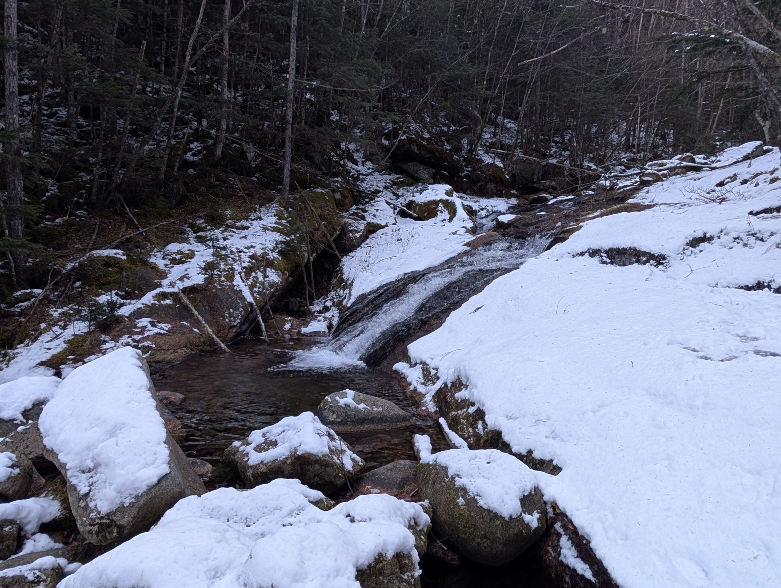
I had expected snow, but patches of it started appearing just over an hour into the hike. About 1.5 hours in, I reached Name-daki Falls and put on my chain spikes. Name-daki, as its name suggests (name means slippery or gentle slope), was a waterfall where water flowed gently over a gradual rock face. Honestly, I had imagined a slightly bigger waterfall, so I was a little disappointed.
Name-daki Falls to Mt. Kobushi Summit
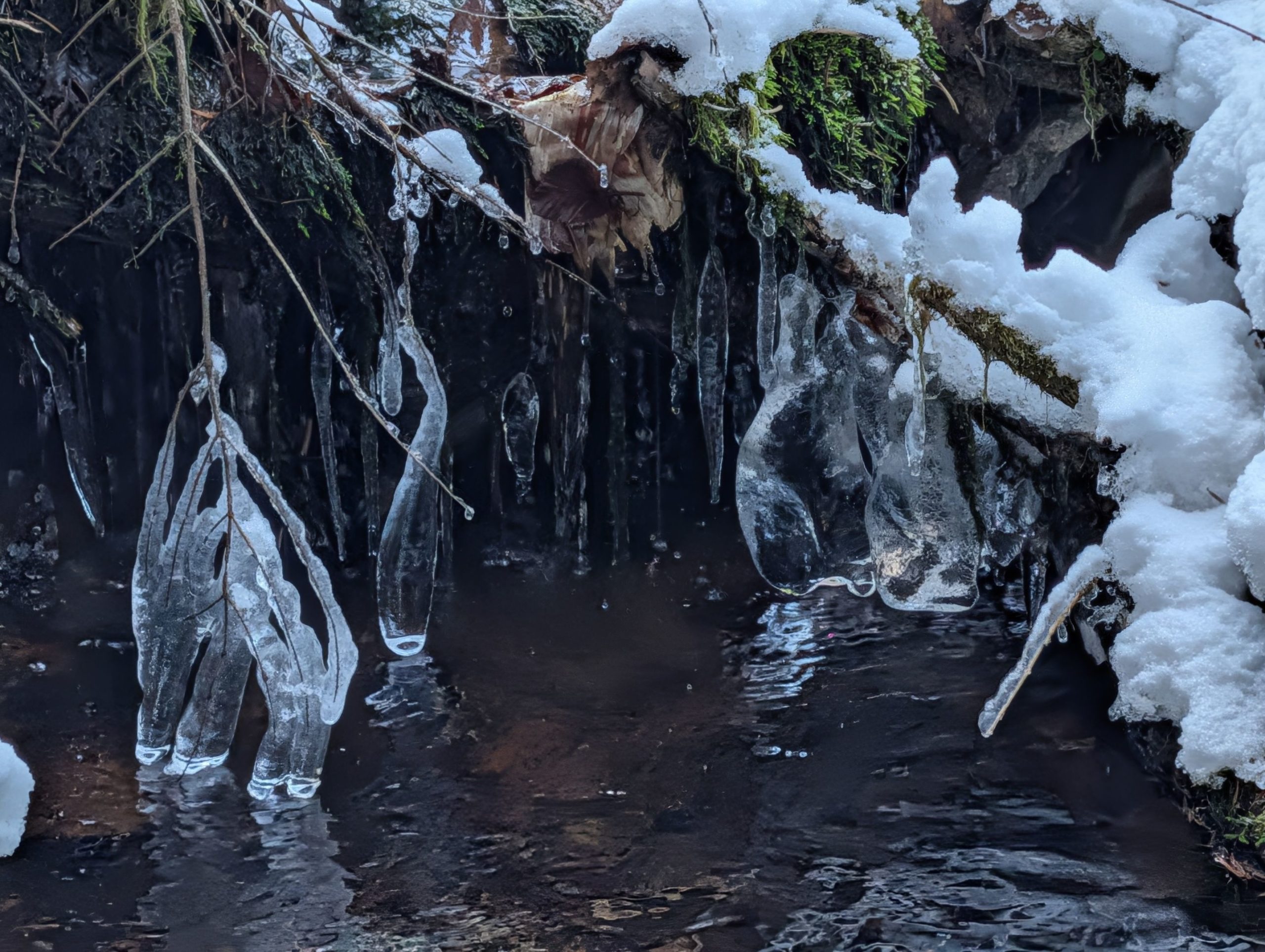
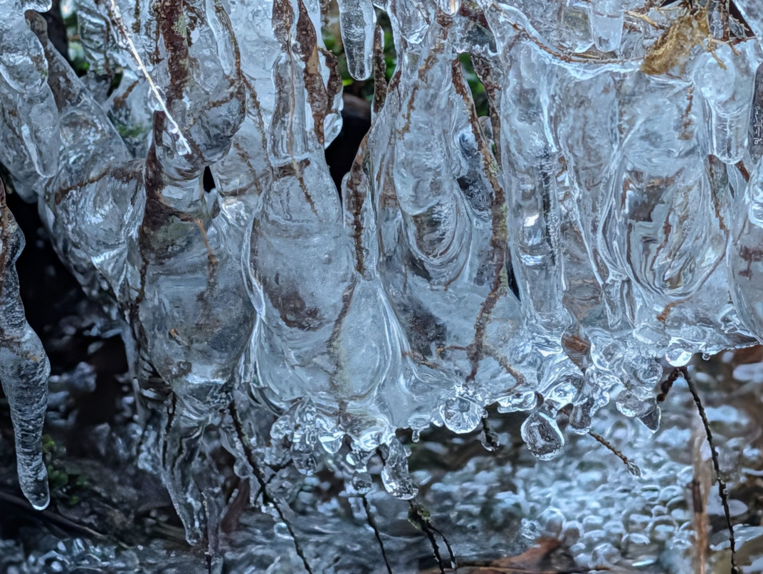
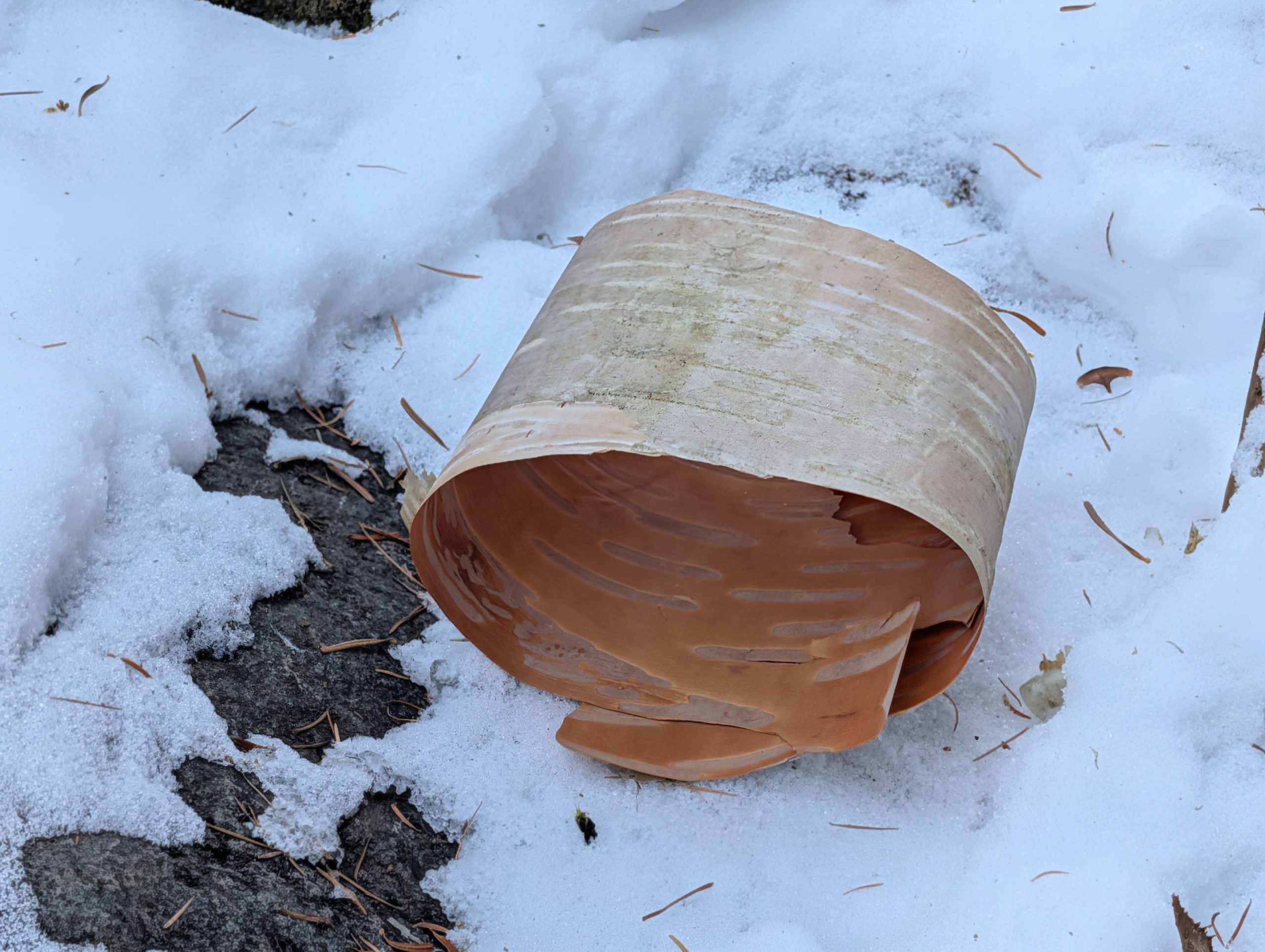
As I climbed further up towards the source of the Chikuma River, the temperature dropped considerably, and I saw many strange ice formations in the river. Not only were their shapes unique, but they also sparkled beautifully when the sun hit them, making me want to just gaze at their ever-changing forms.
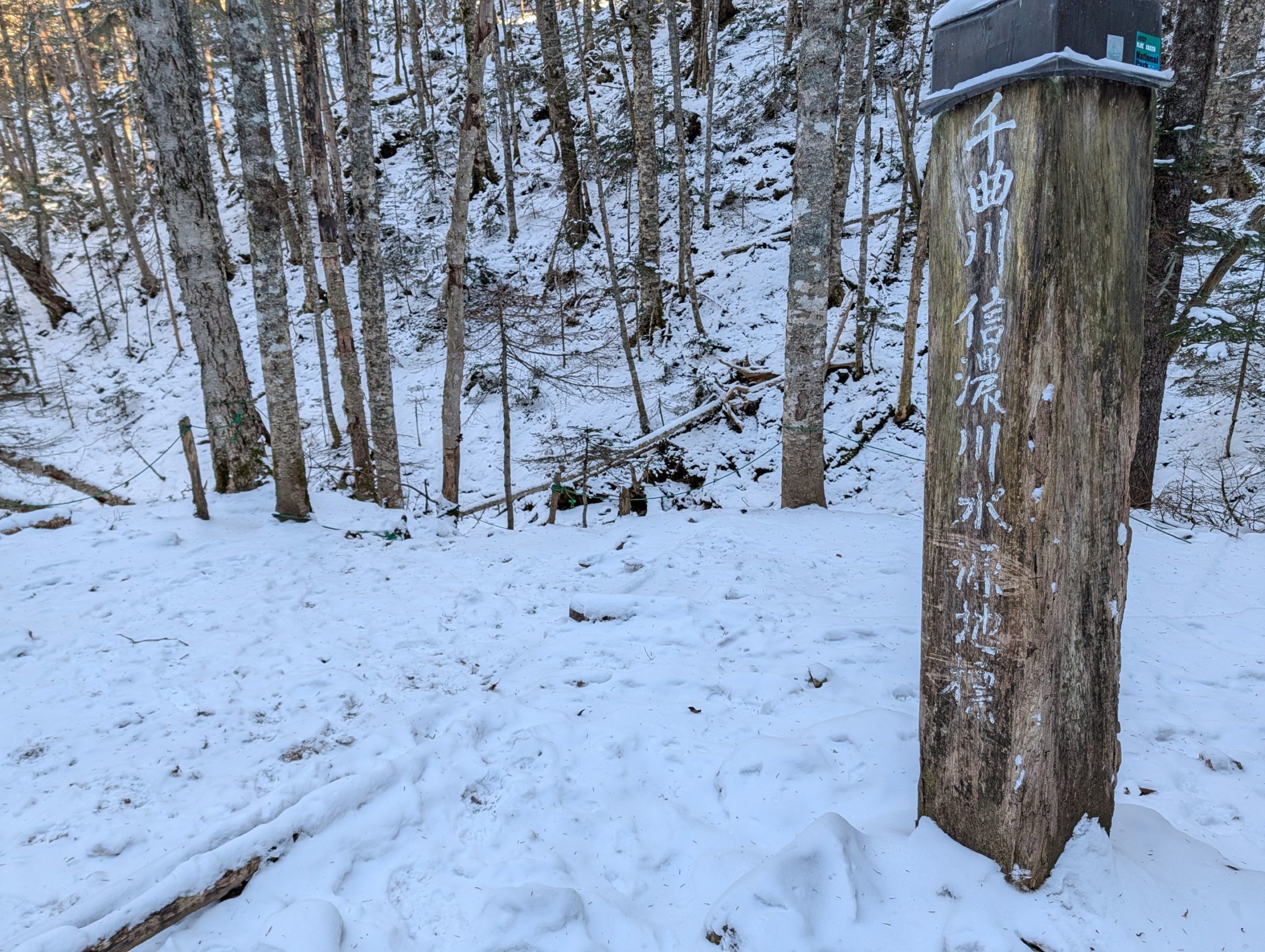

At the source of the Chikuma River, there’s a monument like the one in the photo, making it easy to identify the origin. In fact, if you look at the photo taken near this monument, you can see water starting to flow from behind the tree in the center, but there’s nothing in front of it, clearly showing that this is where the river begins.
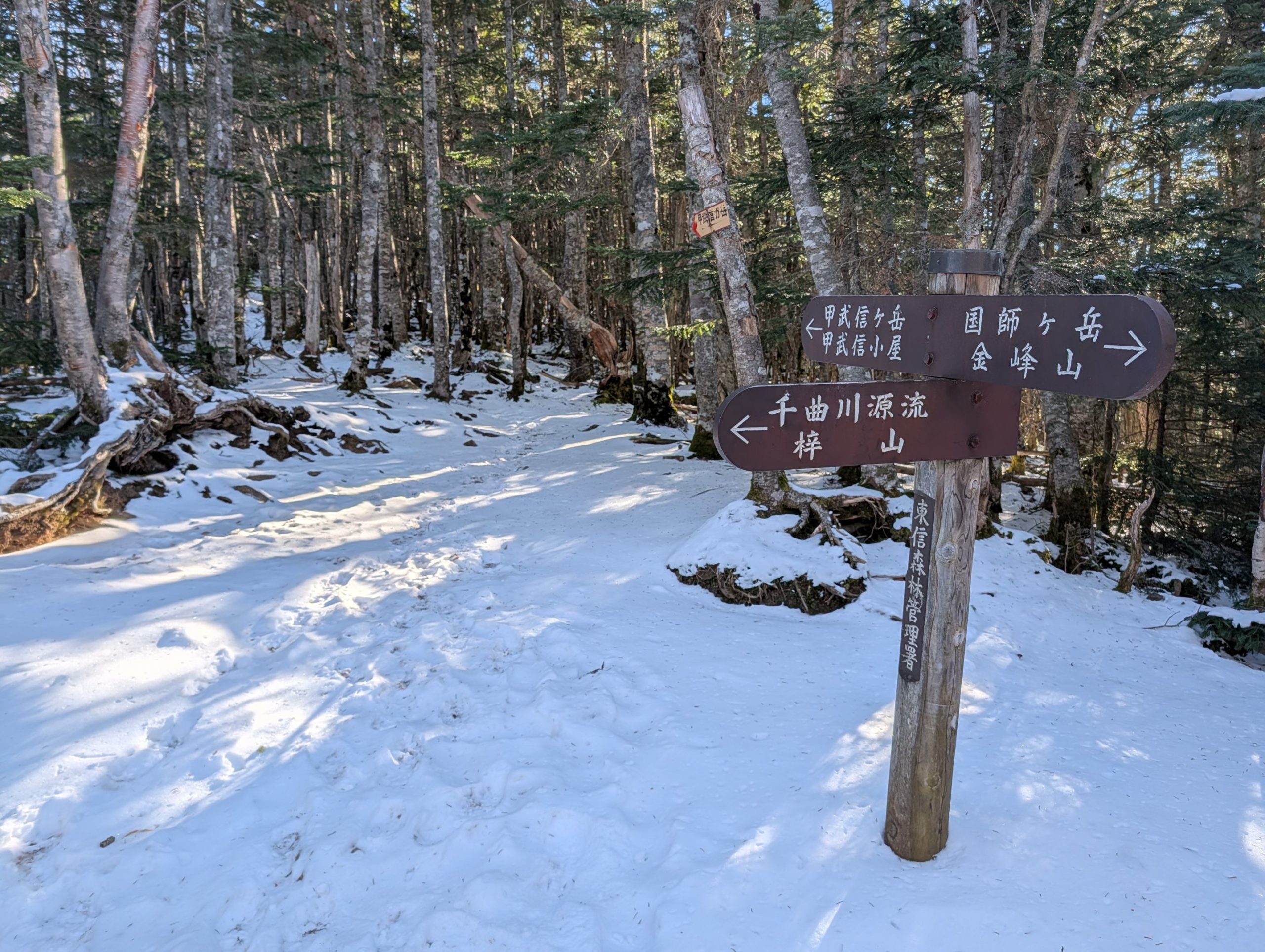
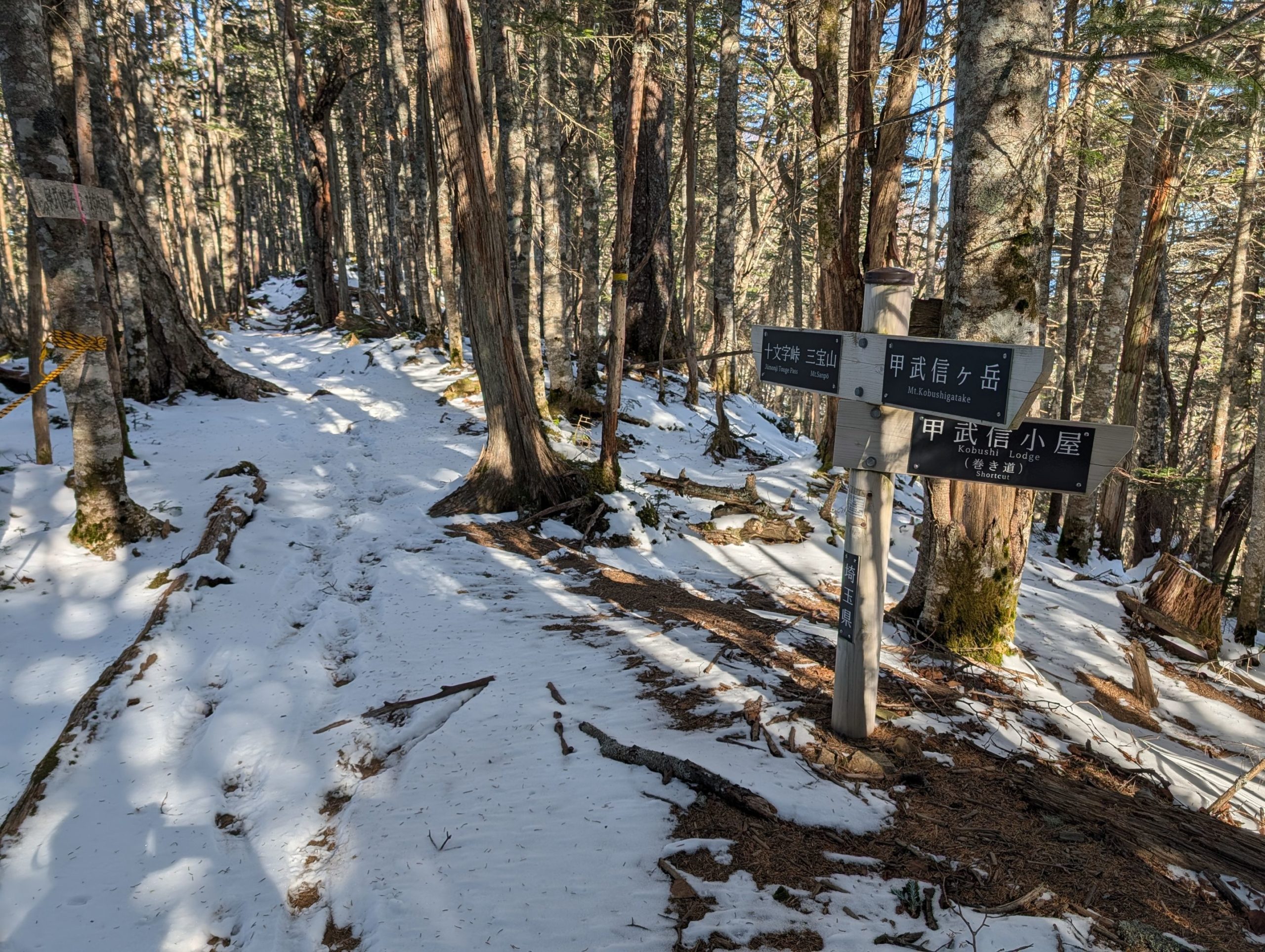
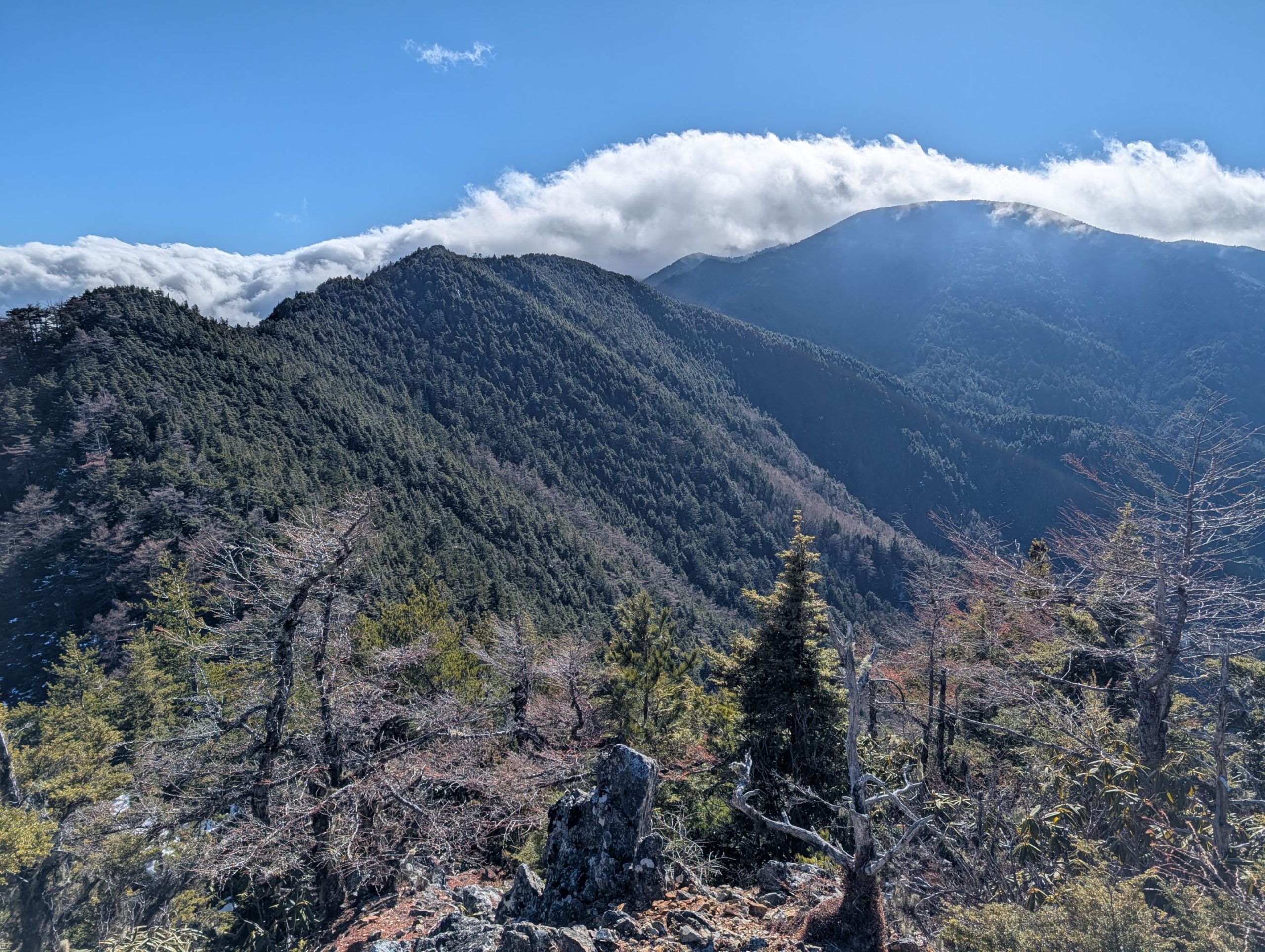
Just a little further to Mt. Kobushi, the trail intersects with the ridge path leading to Mt. Kokushigatake and Mt. Kinpu. It’s quite moving to see the names of mountains I’ve climbed before in a place like this.

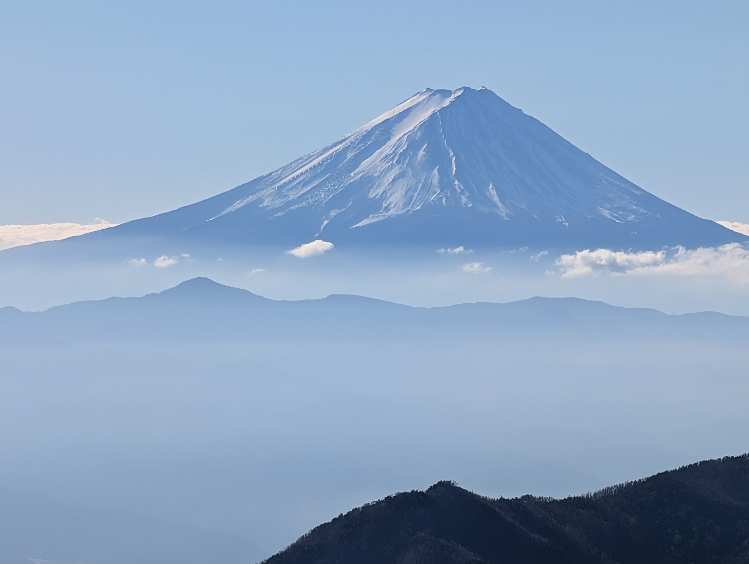
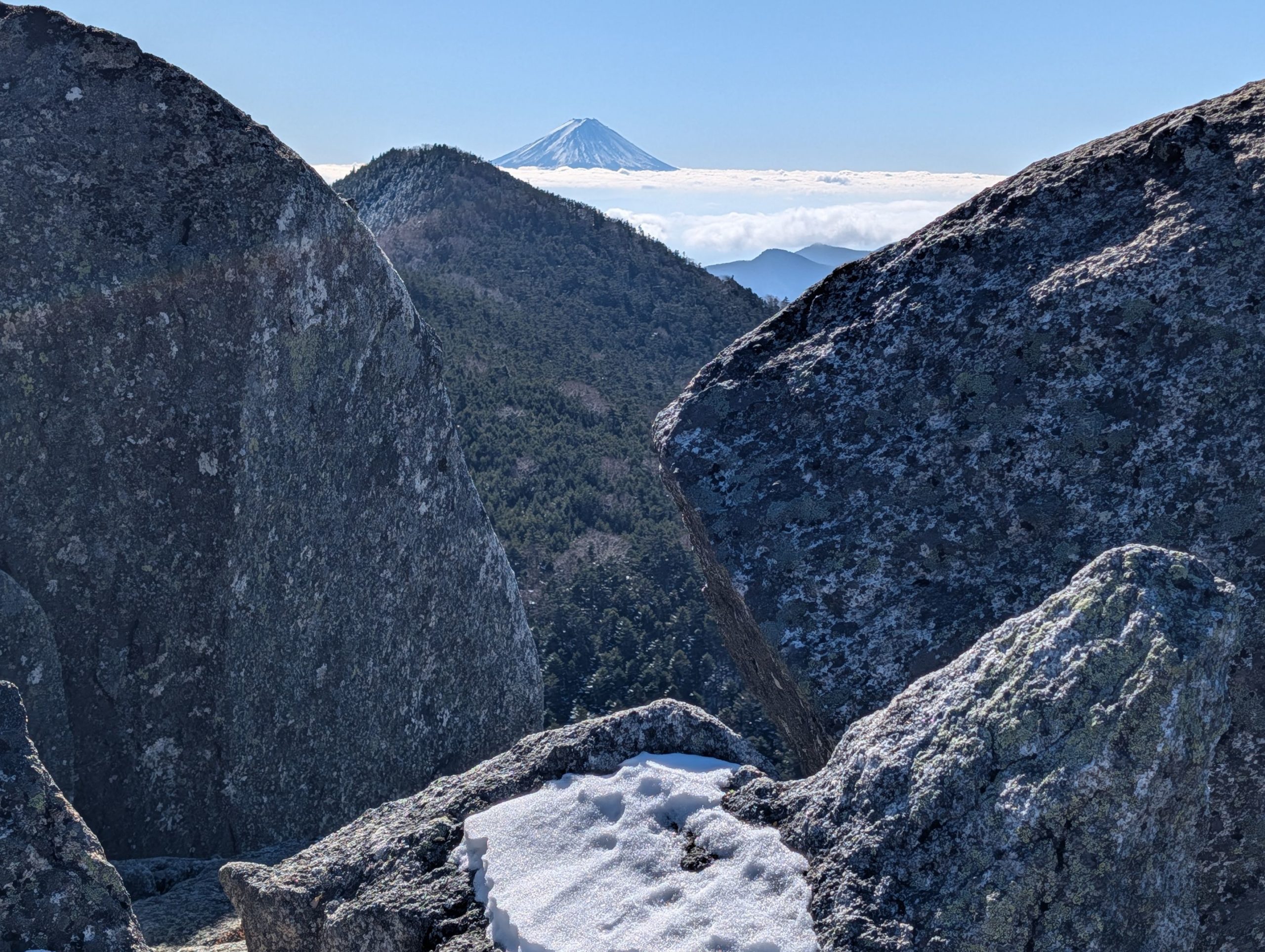
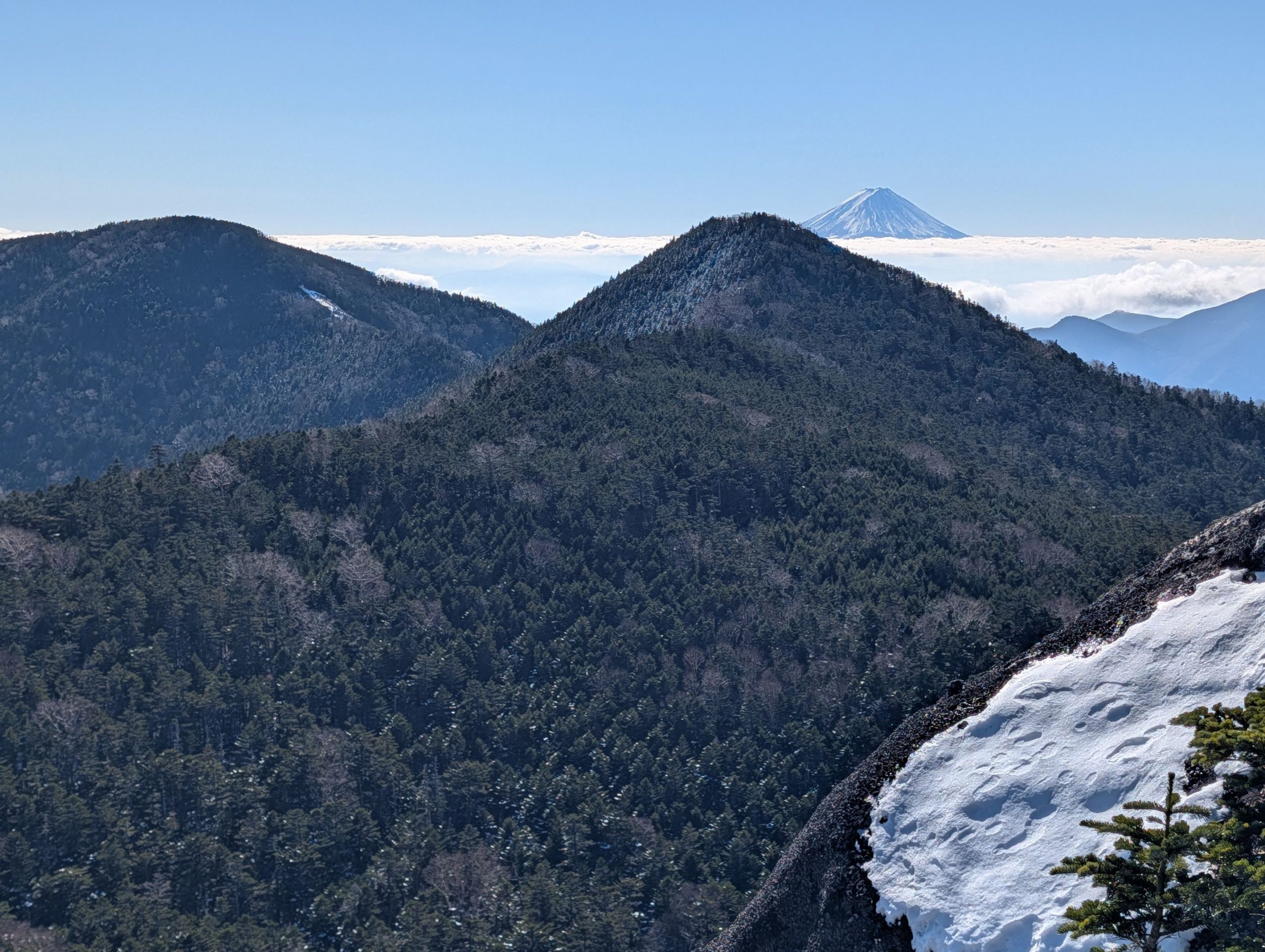
During the ascent to Mt. Kobushi, the view didn’t open up until just before the summit. But when I reached the first open spot, this was the sight that greeted me. Mt. Fuji, covered in snow, seemed to float beyond the mountains in the foreground, and I couldn’t help but gasp in admiration.
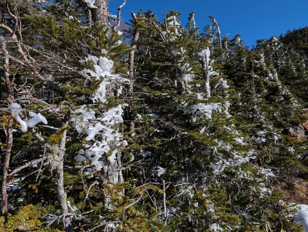
It must be quite cold and windy near the summit, as “shrimp tails” (rime ice formations) were starting to form in this area.

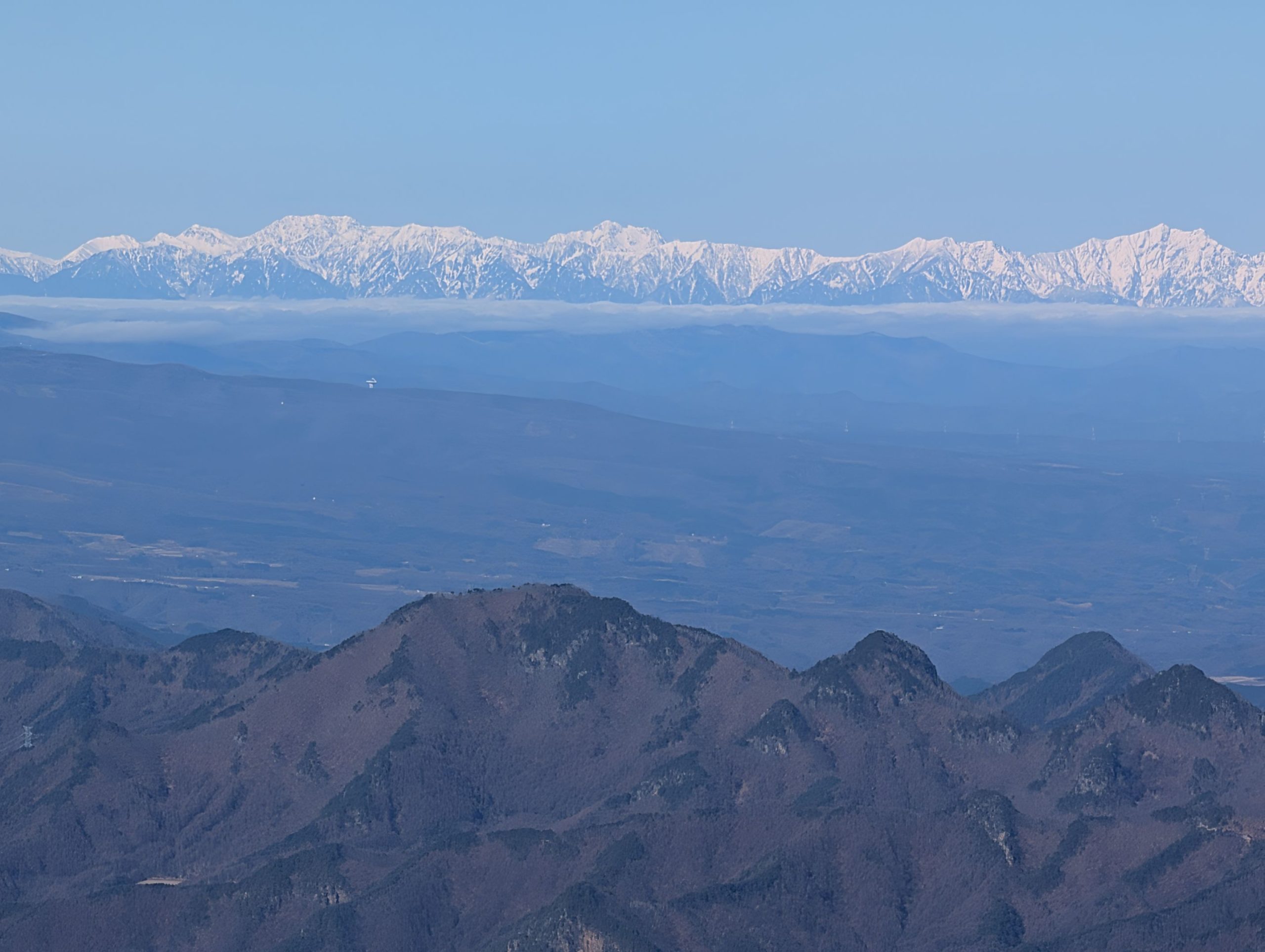
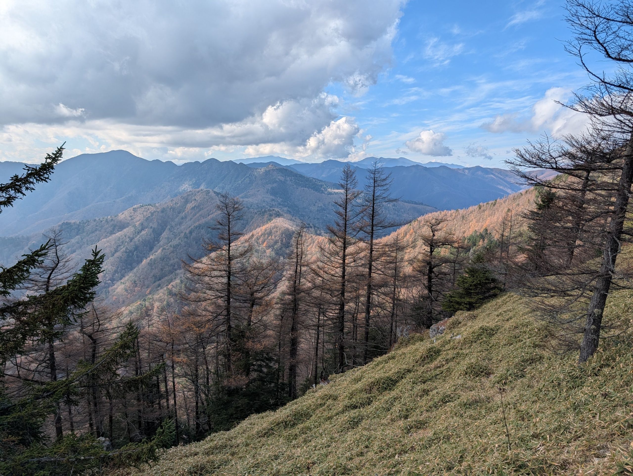
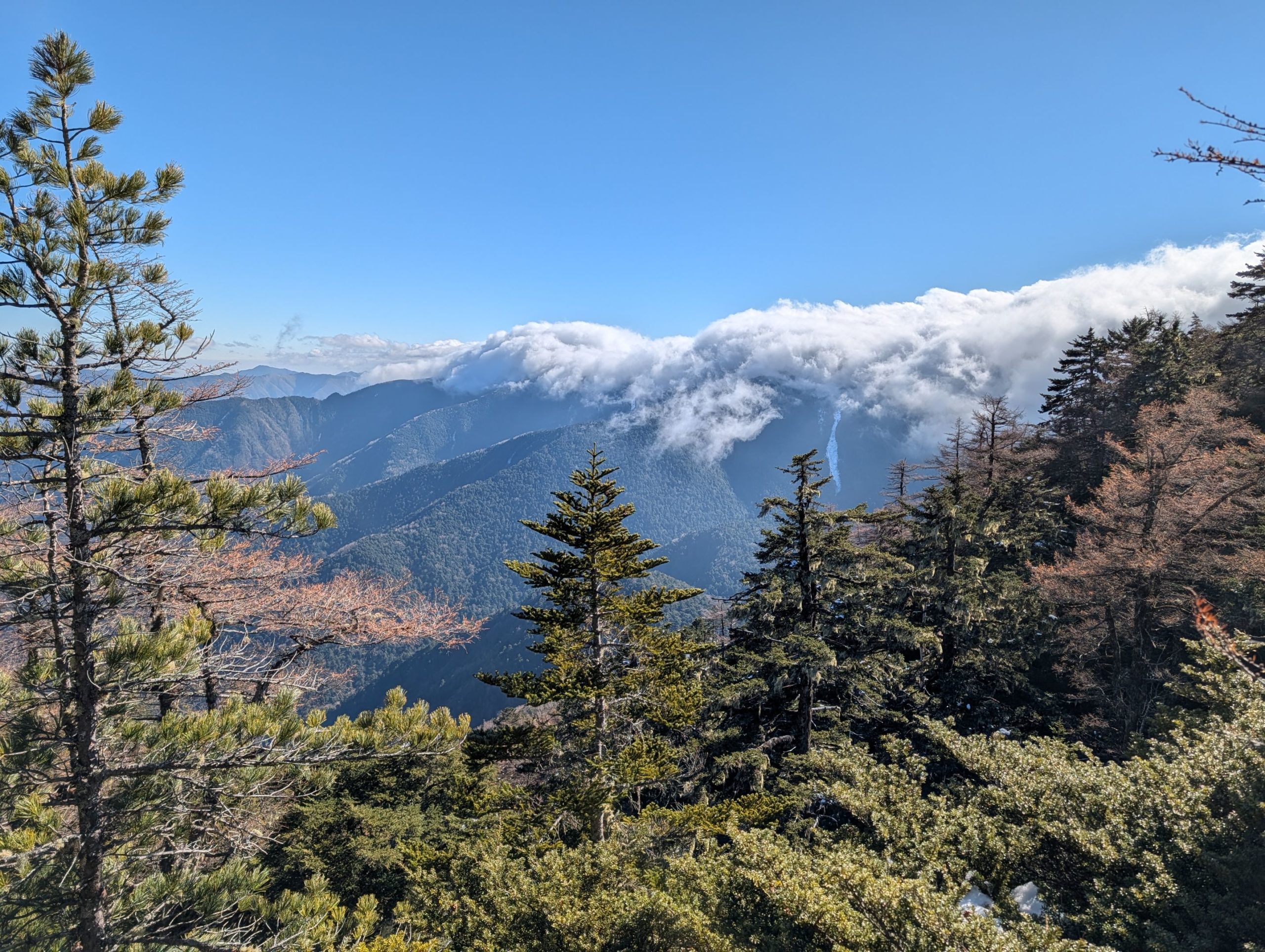
They say you can see 43 of Japan’s 100 Famous Mountains from Mt. Kobushi, and indeed, the view from the summit was truly magnificent. The snow-capped Alps almost looked like clouds floating above the horizon. What’s more, I didn’t encounter a single person from the trailhead all the way to the summit that day, so I had this grand panorama all to myself!
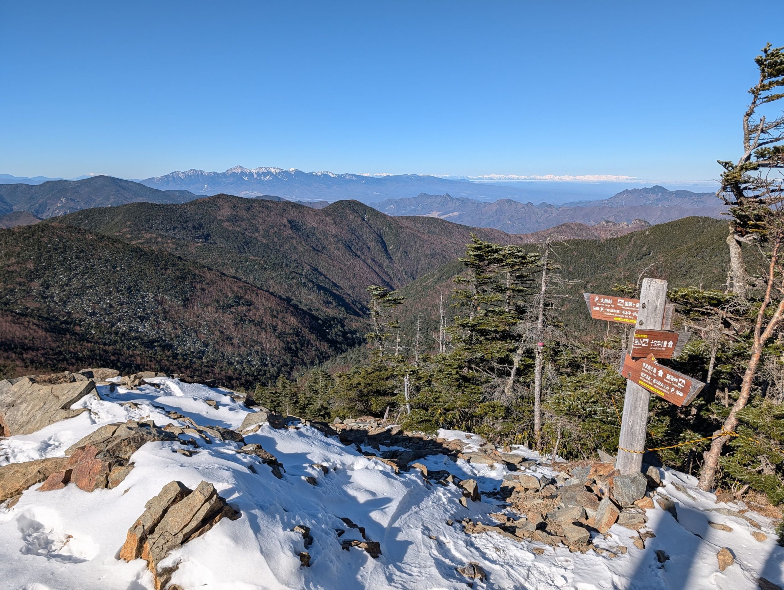
Mt. Kobushi Summit to Mt. Sanpo
When I planned the route on YAMAP, it seemed like the descent would be quite steep compared to the gentle ascent, so I had considered turning back the same way (out-and-back) depending on the snow conditions near the summit. However, there wasn’t an overwhelming amount of snow, and I judged that chain spikes would be sufficient for the descent, so I proceeded with the loop via Mt. Sanpo, Saitama Prefecture’s highest peak.
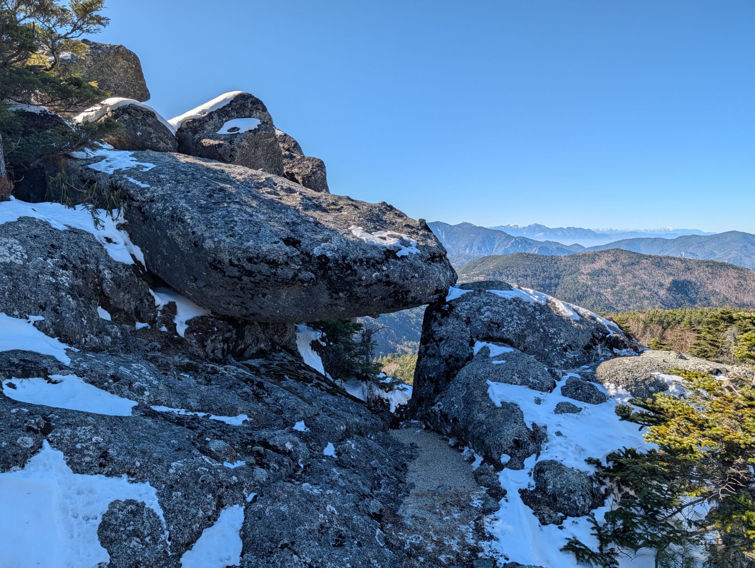
I had read that there was a spot called Sanpo-iwa (Sanpo Rock) with a magnificent view on the way from Mt. Kobushi to Mt. Sanpo, but I ended up reaching the summit of Mt. Sanpo without realizing it. There weren’t any obvious signs along the way, so I walked back a bit and found a side path, like an animal trail. Following it led me to a large rocky outcrop. Mt. Sanpo’s summit didn’t offer any views, so I’m really glad I didn’t miss this spot.
Mt. Sanpo, the highest peak in Saitama Prefecture, unfortunately offered no views, and its summit felt a bit lonely.
Mt. Sanpo to Mt. Bushushiraiwa to Mt. Oyama to Jūmonji Pass
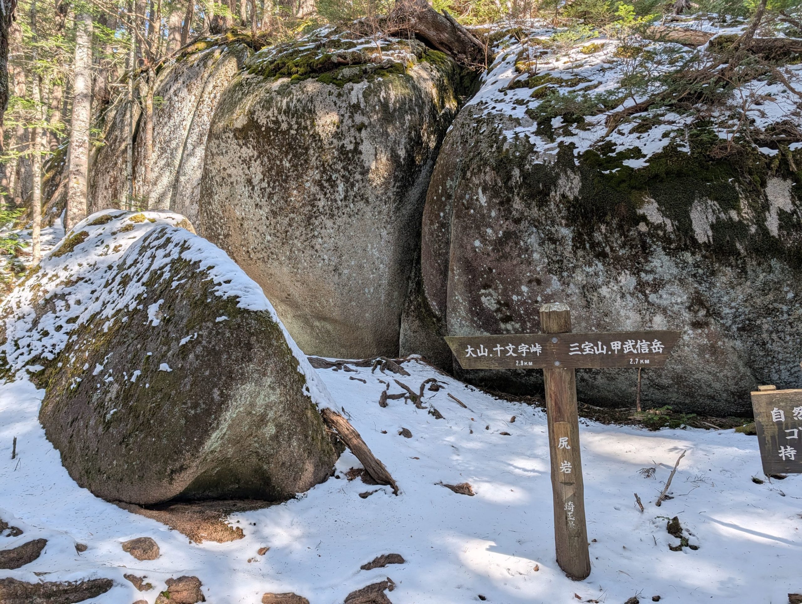
About 40 minutes down from Mt. Sanpo, in the saddle, is Shiri-iwa (Buttocks Rock), named exactly for its appearance. I remember there being many huge rocks scattered around this area, including Sanpo-iwa.

When I planned the route, I knew there was a mountain called Mt. Bushushiraiwa along the way, and since the path was a single track, I assumed it went over the summit. So, when a rugged rocky peak suddenly appeared before me, visible on the left side of the photo, and I saw what looked like a summit marker on its top, I freaked out a bit, wondering if I really had to climb over that! Luckily, the path skirted around this rocky peak, but it definitely gave me a scare.
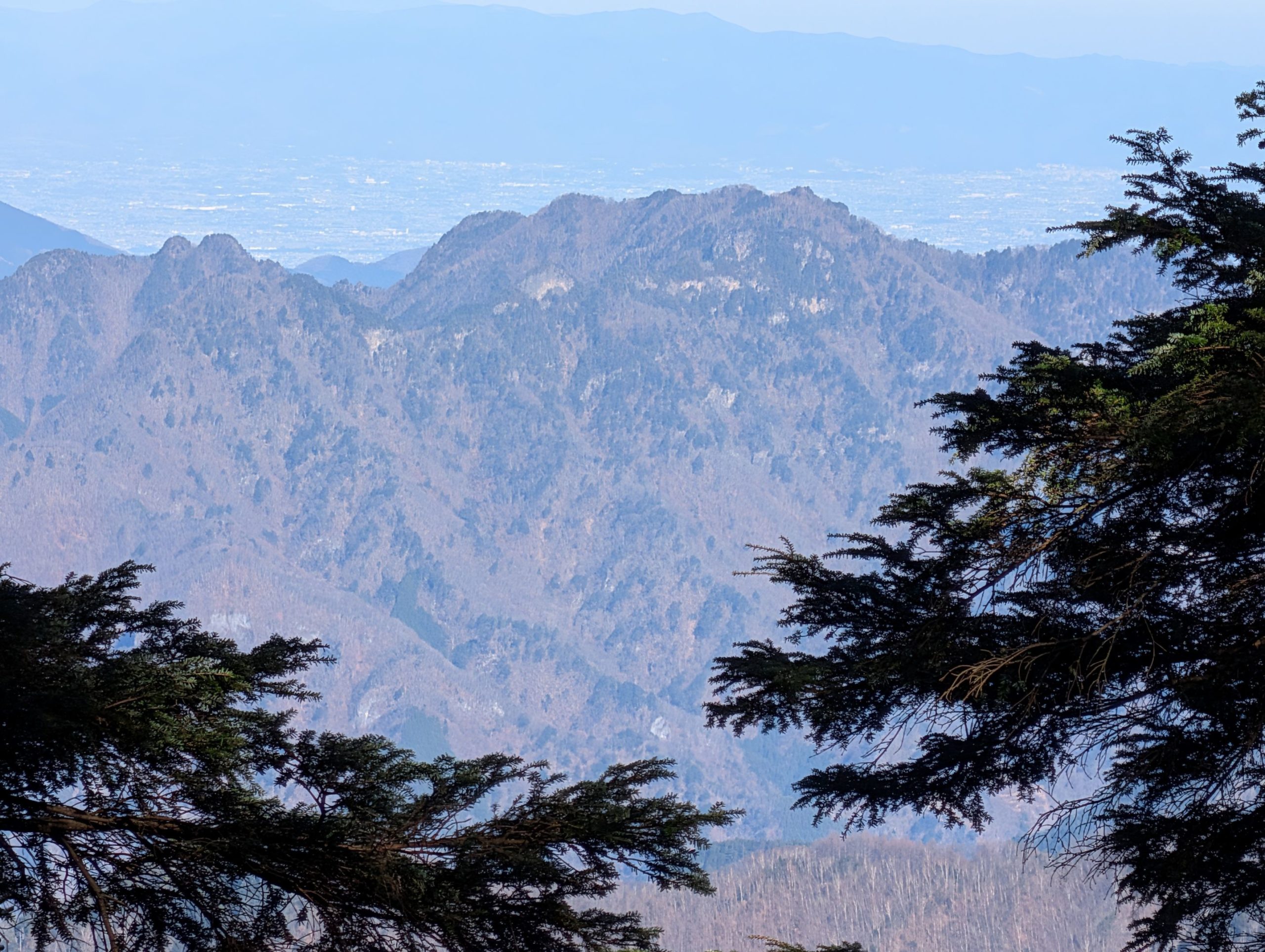
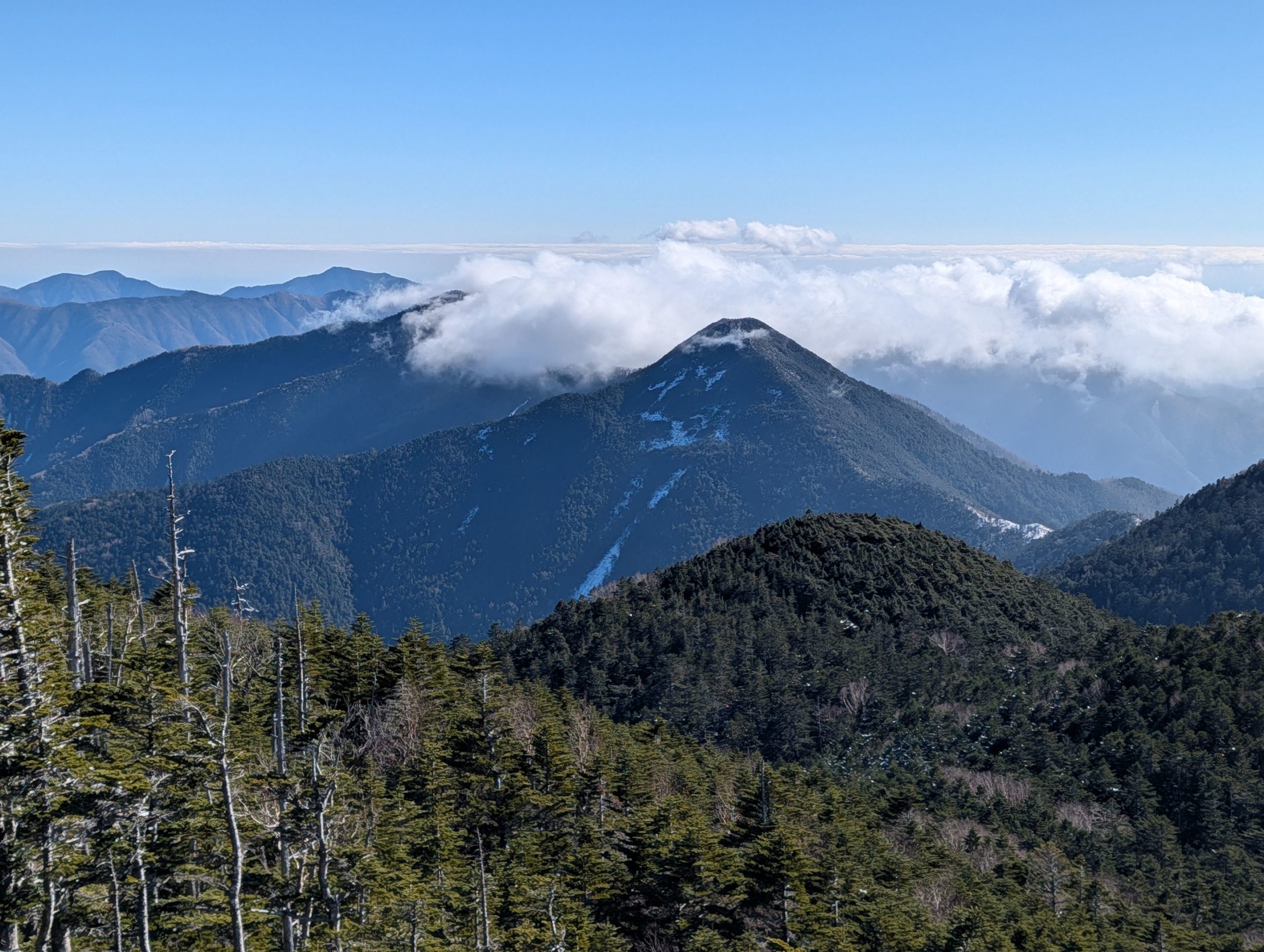
Near Mt. Oyama, from a slightly open spot, I could see what looked like Mt. Ryogami in the distance, easily identifiable by its distinctive jagged silhouette.

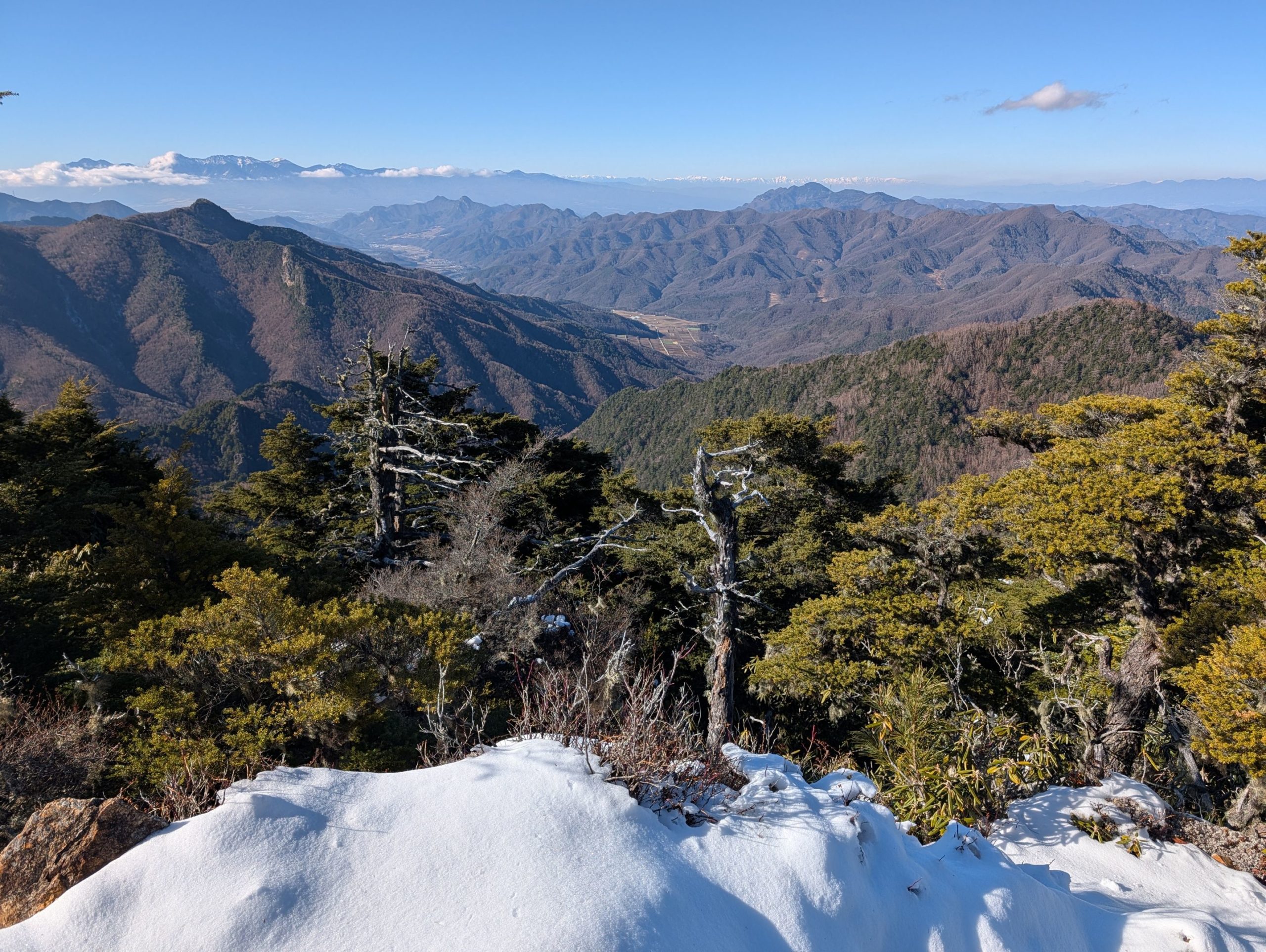
I also got to enjoy a fantastic view from the summit of Mt. Oyama. I had used up quite a bit of energy with all the ups and downs until this point, but I was relieved to see that the snow had significantly decreased, and it was mostly a continuous descent from here.
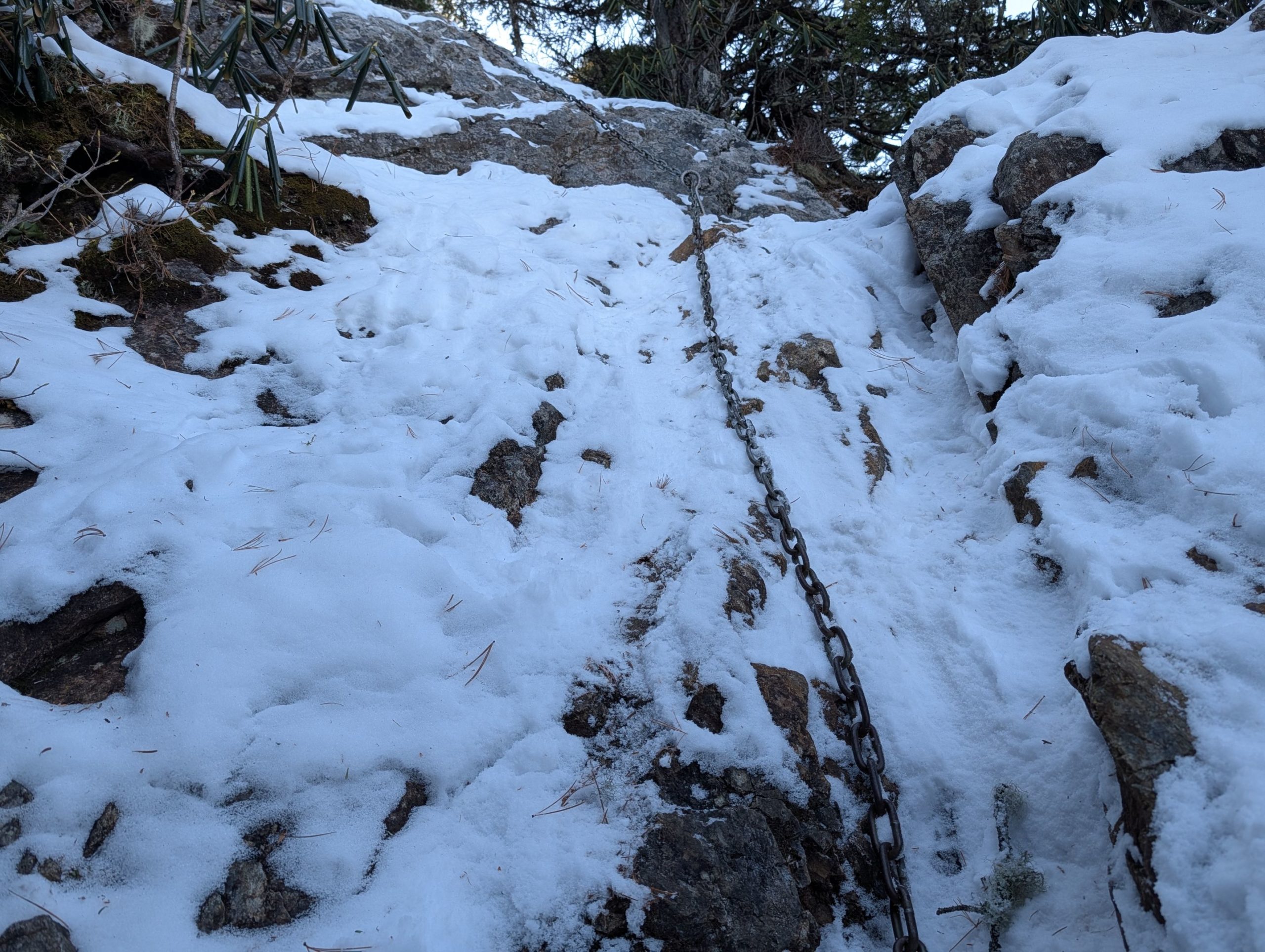
However, the descent right below Mt. Oyama was tough. There were about three sections with chains, and while it wasn’t extremely high, the rocks were covered in snow, making footholds hard to see and very slippery. I struggled quite a bit. It sends shivers down my spine to think what it would have been like without gloves and chain spikes.
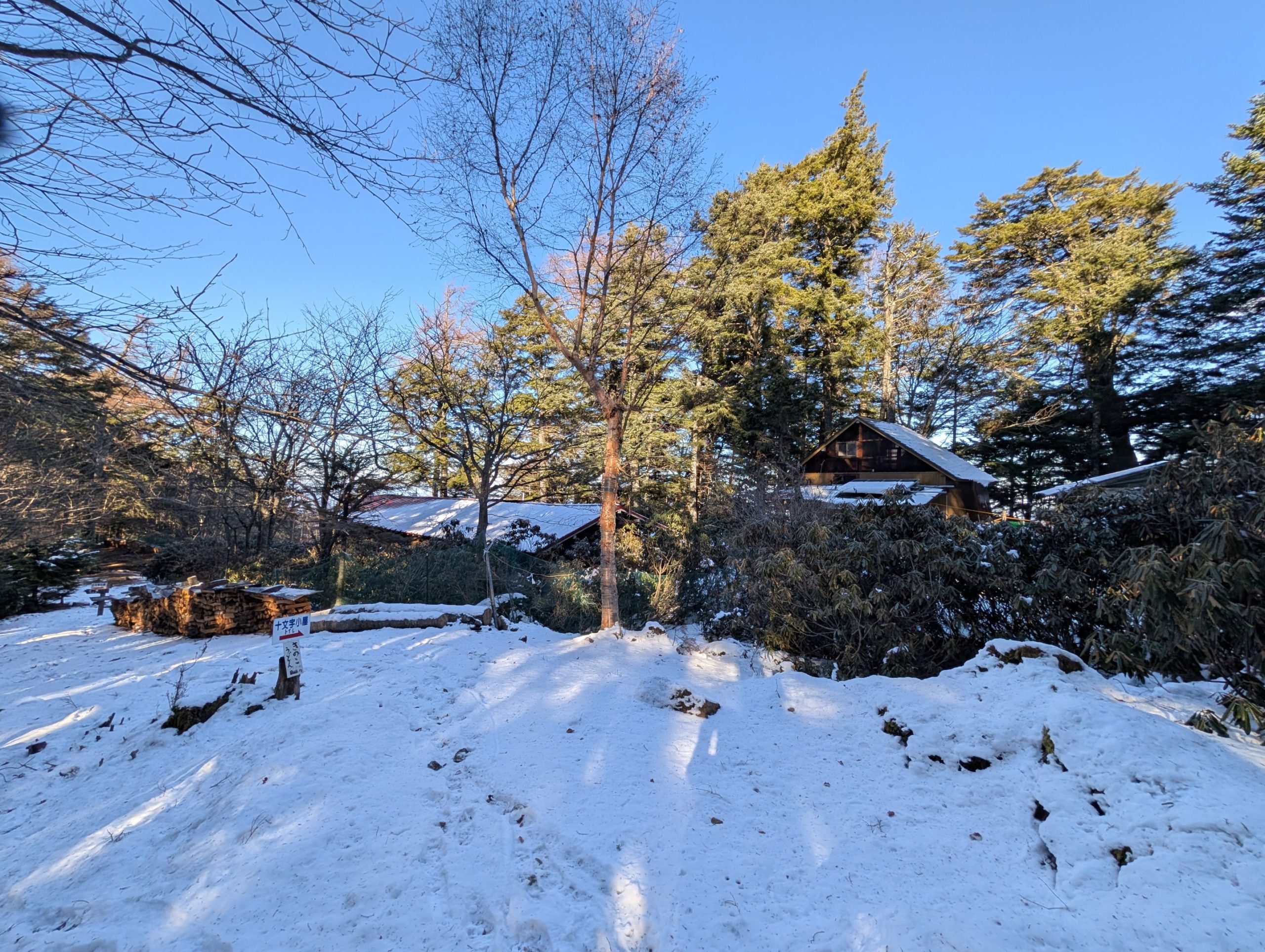
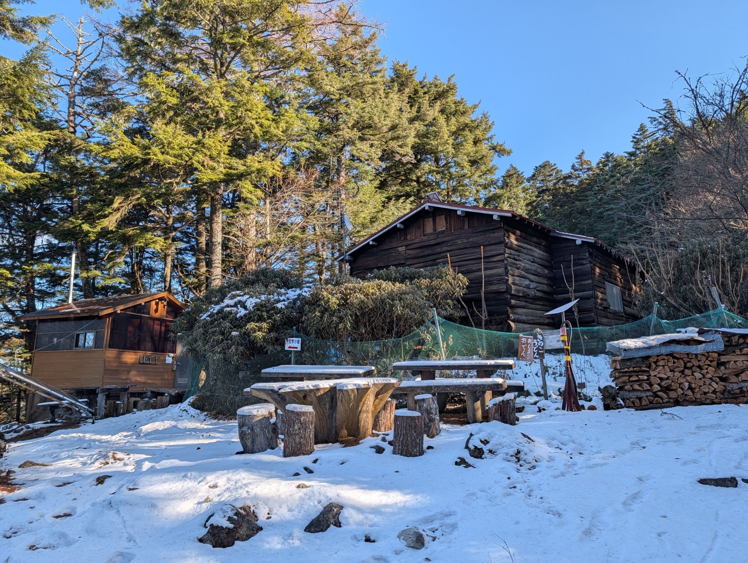
I struggled more than expected on the snowy, rocky sections, but I finally arrived at Jūmonji Hut. Since I’d barely encountered anyone else on the trail, it was a relief to see a man-made structure. However, the hut was quiet and seemed to have already closed for the season.
Jūmonji Hut to Mokidaira Trailhead
For about an hour after Jūmonji Hut, it was a steep descent, and since there was still snow, I kept my chain spikes on. With the snow gone and the slope easing, I finally felt the tension lift, and I could walk the rest of the way in a more relaxed mood.

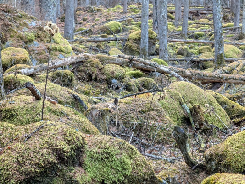
Just a little further from the trailhead, I came across a place where moss covered everything. The fallen leaves of the trees had cleared the view, and perhaps they were blown away by the wind, leaving the moss uncovered, which seemed to create this mysterious landscape.
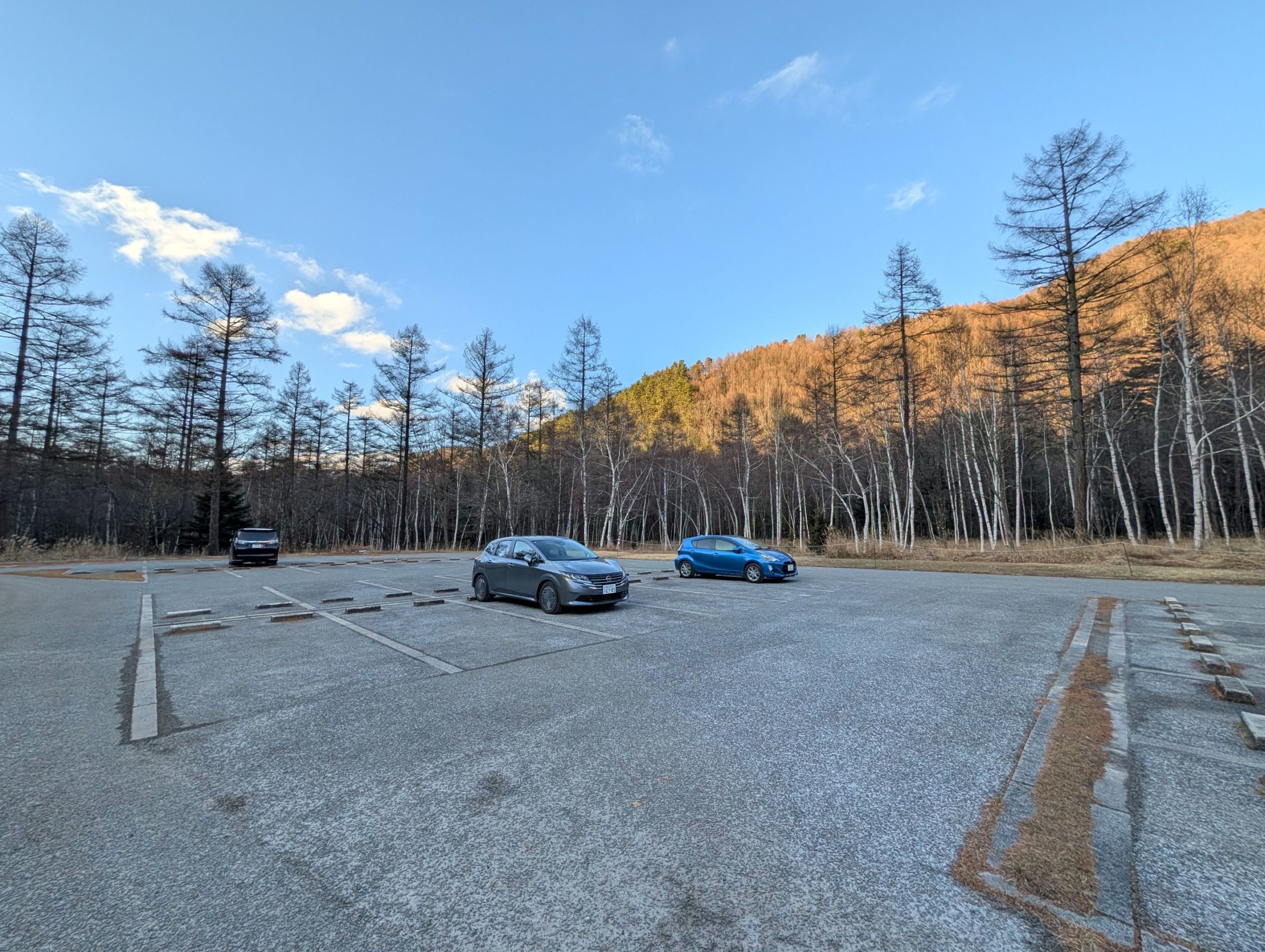
I completed the loop course and returned in just under 9 hours. There were only a few cars in the parking lot, just like in the morning, and they were the same ones I’d seen earlier, so perhaps their occupants were staying overnight at Kobushi Hut on its last operating day.
There was snow, I got to see strange ice formations, and the grand panorama from the summit in perfect weather and clear air was magnificent. Although I had a bit of a struggle on the descent, it was an amazing hike.


コメント